205 Railroad St Unit Kennard Kennard, IN 47351
Estimated Value: $135,000 - $199,000
4
Beds
1
Bath
1,496
Sq Ft
$108/Sq Ft
Est. Value
About This Home
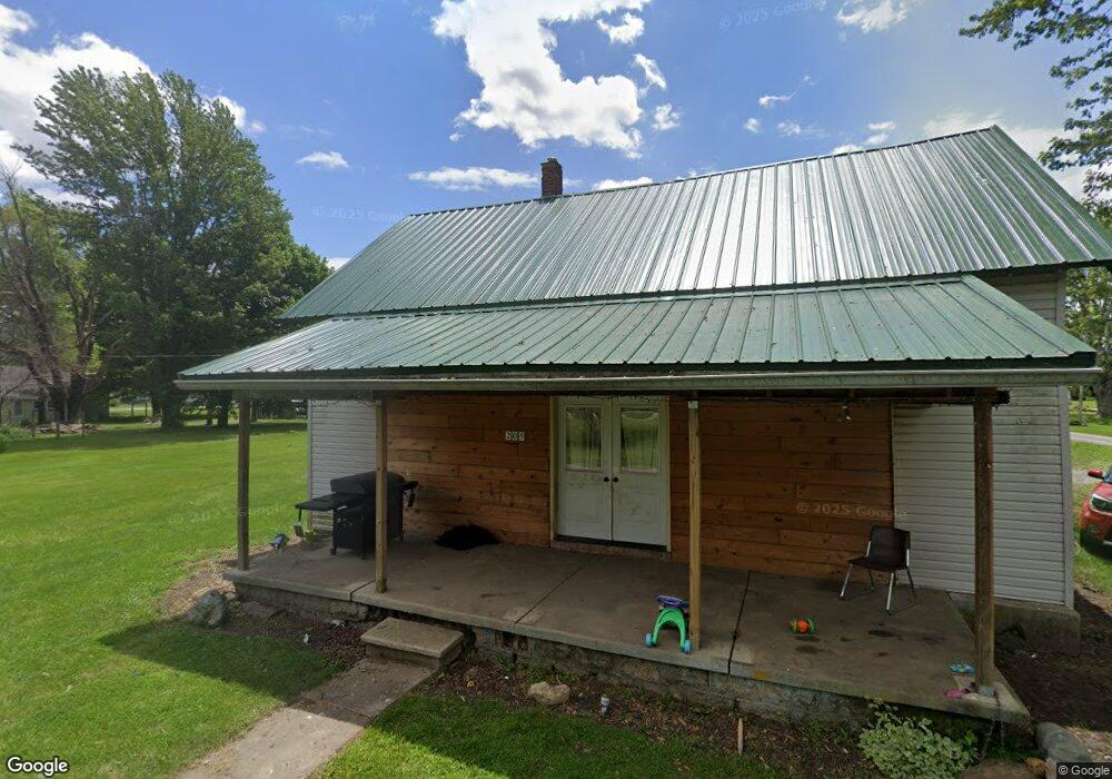
This home is located at 205 Railroad St Unit Kennard, Kennard, IN 47351 and is currently estimated at $161,475, approximately $107 per square foot. 205 Railroad St Unit Kennard is a home located in Henry County with nearby schools including Knightstown Elementary School, Knightstown Intermediate School, and Knightstown High School.
Ownership History
Date
Name
Owned For
Owner Type
Purchase Details
Closed on
Feb 7, 2025
Sold by
Cordle Paul D
Bought by
Wayman Shelby L
Current Estimated Value
Purchase Details
Closed on
Nov 21, 2014
Sold by
Cordle Paul D
Bought by
Wayman Shelby L
Purchase Details
Closed on
Apr 23, 2009
Sold by
Homesales Inc
Bought by
Cordle Paul D and Cordle Betty L
Purchase Details
Closed on
Mar 16, 2009
Sold by
Jpmorgan Chase Bank Na
Bought by
Homesales Inc
Purchase Details
Closed on
Jan 20, 2009
Sold by
Arnold Cindy and Arnold Roger D
Bought by
Jpmorgan Chase Bank Na
Create a Home Valuation Report for This Property
The Home Valuation Report is an in-depth analysis detailing your home's value as well as a comparison with similar homes in the area
Home Values in the Area
Average Home Value in this Area
Purchase History
| Date | Buyer | Sale Price | Title Company |
|---|---|---|---|
| Wayman Shelby L | $35,000 | Hayes Copenhaver Crider Harvey | |
| Wayman Shelby L | $35,000 | -- | |
| Cordle Paul D | -- | Meridian Title Corp | |
| Homesales Inc | -- | None Available | |
| Jpmorgan Chase Bank Na | $12,753 | None Available |
Source: Public Records
Tax History Compared to Growth
Tax History
| Year | Tax Paid | Tax Assessment Tax Assessment Total Assessment is a certain percentage of the fair market value that is determined by local assessors to be the total taxable value of land and additions on the property. | Land | Improvement |
|---|---|---|---|---|
| 2024 | $518 | $81,200 | $15,600 | $65,600 |
| 2023 | $605 | $84,800 | $15,600 | $69,200 |
| 2022 | $595 | $82,900 | $14,200 | $68,700 |
| 2021 | $437 | $67,000 | $14,200 | $52,800 |
| 2020 | $479 | $65,300 | $14,200 | $51,100 |
| 2019 | $485 | $64,400 | $14,200 | $50,200 |
| 2018 | $450 | $64,200 | $14,200 | $50,000 |
| 2017 | $471 | $63,700 | $14,200 | $49,500 |
| 2016 | $426 | $62,800 | $14,200 | $48,600 |
| 2014 | $422 | $60,900 | $14,200 | $46,700 |
| 2013 | $422 | $56,700 | $14,200 | $42,500 |
Source: Public Records
Map
Nearby Homes
- 202 W Martindale St
- 1078 Lake Dr
- 1122 Lake Dr
- 1105 Lake Dr
- 0 Lake Dr
- 1087 Lake Ct
- 1035 Lake Ct
- 1373 S State Road 234 Rd Unit Kennard
- 1373 S State Road 234 Rd
- 10723 State Road 234
- 0000 W County Road 350 S
- 7898 W County Road 350 S
- 0 County Road 1200 E
- 314 Main St
- 1200 North St
- 126 Illinois St
- 0 N 1200 E Unit LotWP001
- 0 N Railroad St Unit MBR21989219
- 0 Pennsylvania St Unit MBR22027178
- 0 Pennsylvania St Unit MBR22047696
- 205 Railroad St
- 201 S Elm St
- 305 Railroad St
- 305 Railroad St
- 201 Dewey St
- 310 W Madision - St Rd 234 St
- 201 S Vine St
- 304 234
- 203 S Vine St
- 304 State Road 234
- 267 Indiana 234
- 305 Dewey St
- 310 Main St
- 207 S Vine St
- 300 W Martindale St
- 310 Indiana 234
- 304 W Martindale St
- 115 S Vine St
- 306 W Martindale St
- 113 S Vine St