205 Robin Ln Stanardsville, VA 22973
Estimated Value: $276,000 - $345,000
3
Beds
1
Bath
1,152
Sq Ft
$273/Sq Ft
Est. Value
About This Home
This home is located at 205 Robin Ln, Stanardsville, VA 22973 and is currently estimated at $314,378, approximately $272 per square foot. 205 Robin Ln is a home located in Greene County with nearby schools including William Monroe High School and United Christian Academy.
Ownership History
Date
Name
Owned For
Owner Type
Purchase Details
Closed on
Dec 1, 2017
Sold by
Brill Rodger M and Brill Arlene B
Bought by
Mcclelland Mary Ellen
Current Estimated Value
Home Financials for this Owner
Home Financials are based on the most recent Mortgage that was taken out on this home.
Original Mortgage
$205,000
Interest Rate
3.94%
Mortgage Type
Purchase Money Mortgage
Purchase Details
Closed on
Sep 23, 2017
Sold by
Phillips Auda Joe and Phillips Laura
Bought by
Brill Rodger M and Brill Arlene B
Create a Home Valuation Report for This Property
The Home Valuation Report is an in-depth analysis detailing your home's value as well as a comparison with similar homes in the area
Home Values in the Area
Average Home Value in this Area
Purchase History
| Date | Buyer | Sale Price | Title Company |
|---|---|---|---|
| Mcclelland Mary Ellen | $205,000 | Accomodation | |
| Brill Rodger M | $165,269 | None Available |
Source: Public Records
Mortgage History
| Date | Status | Borrower | Loan Amount |
|---|---|---|---|
| Previous Owner | Mcclelland Mary Ellen | $205,000 |
Source: Public Records
Tax History Compared to Growth
Tax History
| Year | Tax Paid | Tax Assessment Tax Assessment Total Assessment is a certain percentage of the fair market value that is determined by local assessors to be the total taxable value of land and additions on the property. | Land | Improvement |
|---|---|---|---|---|
| 2025 | $1,654 | $239,700 | $34,000 | $205,700 |
| 2024 | $1,617 | $227,800 | $34,000 | $193,800 |
| 2023 | $1,663 | $227,800 | $34,000 | $193,800 |
| 2022 | $1,494 | $182,200 | $34,000 | $148,200 |
| 2021 | $1,494 | $182,200 | $34,000 | $148,200 |
| 2020 | $1,396 | $170,300 | $34,000 | $136,300 |
| 2019 | $1,396 | $170,300 | $34,000 | $136,300 |
| 2018 | $1,304 | $0 | $0 | $0 |
| 2017 | $1,304 | $168,200 | $34,000 | $134,200 |
| 2016 | $1,205 | $155,500 | $34,000 | $121,500 |
| 2015 | $1,166 | $155,500 | $34,000 | $121,500 |
| 2014 | $1,120 | $155,500 | $34,000 | $121,500 |
| 2013 | -- | $155,500 | $34,000 | $121,500 |
Source: Public Records
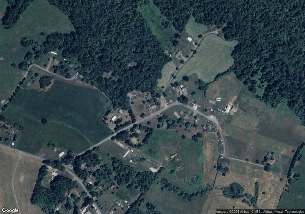
Map
Nearby Homes
- 3759 Dundee Rd
- 123 Country Club Dr
- 565 Madison Rd
- 0 Slate Mill Rd
- 31 Wesley St
- 100 Holmes Run Rd
- 121 Yates Cir
- 221 Yates Cir
- 173 Main St
- 0 Octonia Rd Unit 670773
- 112 Bartholomew Place
- 536 Redbud Dr
- 212 Bartholomew Place
- 13 Bartholomew Place
- 51 Miller Mountain Rd
- 0 Middle River Rd Unit 670623
- 173 Lawsons Farm Dr
- 2 Keasley Ln