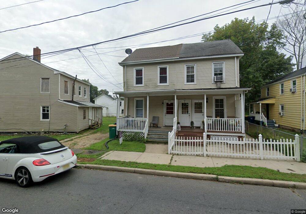
205 Rogers Ave Unit 2 Hightstown, NJ 08520
Estimated Value: $291,000 - $396,000
--
Bed
2
Baths
1,260
Sq Ft
$282/Sq Ft
Est. Value
About This Home
This home is located at 205 Rogers Ave Unit 2, Hightstown, NJ 08520 and is currently estimated at $354,713, approximately $281 per square foot. 205 Rogers Ave Unit 2 is a home located in Mercer County with nearby schools including Melvin H. Kreps Middle School, Hightstown High School, and SciCore Academy.
Ownership History
Date
Name
Owned For
Owner Type
Purchase Details
Closed on
Aug 19, 2020
Sold by
Battash Annie and Battash Haim
Bought by
Patel Nishant
Current Estimated Value
Home Financials for this Owner
Home Financials are based on the most recent Mortgage that was taken out on this home.
Original Mortgage
$183,920
Outstanding Balance
$162,846
Interest Rate
2.9%
Mortgage Type
New Conventional
Estimated Equity
$191,867
Purchase Details
Closed on
Jun 25, 2002
Sold by
Craig Stephen
Bought by
Battash Annie
Create a Home Valuation Report for This Property
The Home Valuation Report is an in-depth analysis detailing your home's value as well as a comparison with similar homes in the area
Home Values in the Area
Average Home Value in this Area
Purchase History
| Date | Buyer | Sale Price | Title Company |
|---|---|---|---|
| Patel Nishant | $229,900 | Golden Title Agency | |
| Battash Annie | $67,500 | -- |
Source: Public Records
Mortgage History
| Date | Status | Borrower | Loan Amount |
|---|---|---|---|
| Open | Patel Nishant | $183,920 |
Source: Public Records
Tax History Compared to Growth
Tax History
| Year | Tax Paid | Tax Assessment Tax Assessment Total Assessment is a certain percentage of the fair market value that is determined by local assessors to be the total taxable value of land and additions on the property. | Land | Improvement |
|---|---|---|---|---|
| 2025 | $7,129 | $145,400 | $55,500 | $89,900 |
| 2024 | $7,056 | $145,400 | $55,500 | $89,900 |
| 2023 | $7,056 | $145,400 | $55,500 | $89,900 |
| 2022 | $6,812 | $145,400 | $55,500 | $89,900 |
| 2021 | $6,566 | $145,400 | $55,500 | $89,900 |
| 2020 | $5,900 | $133,700 | $55,500 | $78,200 |
| 2019 | $5,736 | $133,700 | $55,500 | $78,200 |
| 2018 | $5,569 | $133,700 | $55,500 | $78,200 |
| 2017 | $5,511 | $133,700 | $55,500 | $78,200 |
| 2016 | $5,463 | $133,700 | $55,500 | $78,200 |
| 2015 | $5,428 | $133,700 | $55,500 | $78,200 |
| 2014 | $5,463 | $133,700 | $55,500 | $78,200 |
Source: Public Records
Map
Nearby Homes
- 201 Morrison Ave
- 110 112 Park Ave
- 311 2nd Ave
- 203 Hutchinson St
- 302 S Main St
- 365 Stockton St
- 309 Lincoln Ave
- 141 Lincoln Ave
- 145 Lincoln Ave
- 359 Morrison Ave
- 400 Stockton St
- 219 Maxwell Ave
- 344 Monmouth St
- 108 Orchard Ave
- 230 Mill Run Ct
- 15 Brownstone Rd
- 0 Route 130
- 4 Sandstone Rd
- 5 Mill Run W
- 32 Quarry Ct
- 207 Rogers Ave
- 205 Rogers Ave
- 209 Rogers Ave
- 213 Rogers Ave
- 200 S Academy St Unit 202
- 208 S Academy St
- 202 S Academy St
- 210 S Academy St
- 212 S Academy St
- 115 Outcalt St Unit 117
- 216 S Academy St
- 169 Rogers Ave
- 219 Rogers Ave
- 201 Stockton St
- 209 Stockton St
- 112 Outcalt St
- 211 Stockton St
- 216-222 S Academy St
- 100 2nd Ave Unit 2
- 215 Stockton St