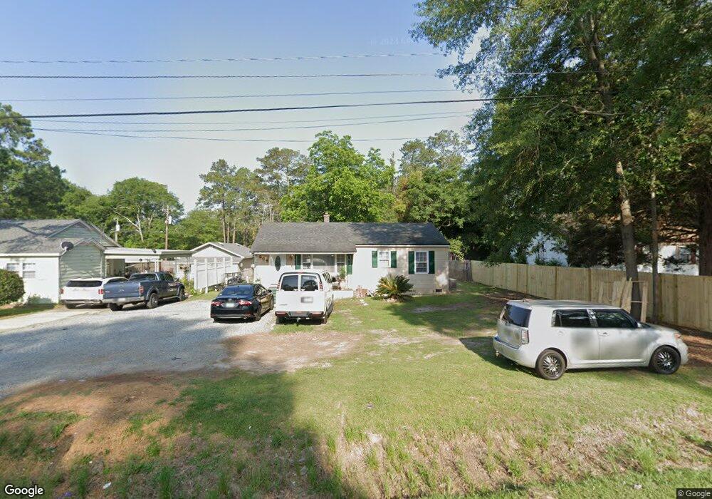
205 Rowland Dr Moultrie, GA 31768
Estimated Value: $104,000 - $123,000
--
Bed
1
Bath
775
Sq Ft
$145/Sq Ft
Est. Value
About This Home
This home is located at 205 Rowland Dr, Moultrie, GA 31768 and is currently estimated at $112,450, approximately $145 per square foot. 205 Rowland Dr is a home located in Colquitt County with nearby schools including Stringfellow Elementary School, Willie J. Williams Middle School, and C.A. Gray Junior High School.
Ownership History
Date
Name
Owned For
Owner Type
Purchase Details
Closed on
Feb 29, 2024
Sold by
Carroll Rosa B
Bought by
Carral Abdiel
Current Estimated Value
Home Financials for this Owner
Home Financials are based on the most recent Mortgage that was taken out on this home.
Original Mortgage
$117,825
Outstanding Balance
$115,865
Interest Rate
6.63%
Mortgage Type
New Conventional
Estimated Equity
-$3,415
Purchase Details
Closed on
Feb 23, 1998
Bought by
Carroll Rosa B
Purchase Details
Closed on
May 13, 1991
Bought by
Justice Homer
Create a Home Valuation Report for This Property
The Home Valuation Report is an in-depth analysis detailing your home's value as well as a comparison with similar homes in the area
Home Values in the Area
Average Home Value in this Area
Purchase History
| Date | Buyer | Sale Price | Title Company |
|---|---|---|---|
| Carral Abdiel | $120,000 | -- | |
| Carroll Rosa B | $21,500 | -- | |
| Justice Homer | -- | -- |
Source: Public Records
Mortgage History
| Date | Status | Borrower | Loan Amount |
|---|---|---|---|
| Open | Carral Abdiel | $117,825 |
Source: Public Records
Tax History Compared to Growth
Tax History
| Year | Tax Paid | Tax Assessment Tax Assessment Total Assessment is a certain percentage of the fair market value that is determined by local assessors to be the total taxable value of land and additions on the property. | Land | Improvement |
|---|---|---|---|---|
| 2024 | $609 | $20,181 | $2,800 | $17,381 |
| 2023 | $609 | $15,378 | $2,800 | $12,578 |
| 2022 | $525 | $15,693 | $2,800 | $12,893 |
| 2021 | $506 | $14,929 | $2,800 | $12,129 |
| 2020 | $515 | $14,929 | $2,800 | $12,129 |
| 2019 | $580 | $14,929 | $2,800 | $12,129 |
| 2018 | $596 | $14,929 | $2,800 | $12,129 |
| 2017 | $573 | $14,929 | $2,800 | $12,129 |
| 2016 | $596 | $14,929 | $2,800 | $12,129 |
| 2015 | $598 | $14,929 | $2,800 | $12,129 |
| 2014 | $612 | $14,929 | $2,800 | $12,129 |
| 2013 | -- | $14,928 | $2,800 | $12,128 |
Source: Public Records
Map
Nearby Homes
- LL261 Rowland Dr
- 1716 5th Ave SE
- LOT 64 Georgia 37
- LOT 60 Georgia 37
- 619 E Central Ave
- 521 5th Ave SE Unit 4
- 407 1st Ave SE
- 515 5th Ave SE Unit 4
- 1021 11th Ave SE
- 127 Pineview Ave
- 302 4th Ave SE
- 224 4th Ave SE
- 223 5th Ave SE
- 619 3rd St SE
- 0 Doc Darbyshire Rd
- 928 Veterans Pkwy N
- 600 1st St SE
- 902 2nd St SE
- 308 Hillcrest Ave
- 913 1st St SE Unit ABCD
- 209 Rowland Dr
- 223 Rowland Dr
- 201 Rowland Dr
- 1609 Hutchinson Dr
- 213 Rowland Dr
- 217 Rowland Dr
- 204 Dorothy St
- 1605 Hutchinson Dr
- 200 Rowland Dr
- 204 Rowland Dr
- 1604 Hutchinson Dr
- 208 Rowland Dr
- 1600 Hutchinson Dr
- 208 Dorothy St
- 221 Rowland Dr
- 212 Rowland Dr
- 225 Rowland Dr
- 212 Dorothy St
- 1520 Hutchinson Dr
- 205 Dorothy St