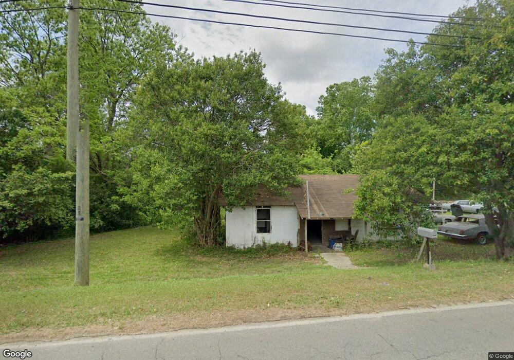
205 S Monitor Dr Fitzgerald, GA 31750
Estimated Value: $68,499 - $146,000
2
Beds
1
Bath
846
Sq Ft
$118/Sq Ft
Est. Value
About This Home
This home is located at 205 S Monitor Dr, Fitzgerald, GA 31750 and is currently estimated at $100,125, approximately $118 per square foot. 205 S Monitor Dr is a home located in Ben Hill County with nearby schools including Ben Hill County Primary School, Ben Hill Elementary School, and Ben Hill County Middle School.
Ownership History
Date
Name
Owned For
Owner Type
Purchase Details
Closed on
Jul 26, 2017
Sold by
Herlovich William P
Bought by
Davis Sherry Sue E
Current Estimated Value
Purchase Details
Closed on
Jun 8, 2011
Sold by
Wilcox Tony C
Bought by
Herlovich William P and Herlovich David A
Purchase Details
Closed on
Dec 20, 2004
Sold by
Dorminy Dorminy J and Dorminy W
Bought by
Wilcox Tony and Wilcox Debra
Purchase Details
Closed on
Feb 12, 2003
Sold by
Dorminy John H
Bought by
Dorminy Dorminy J and Dorminy W
Purchase Details
Closed on
Jun 19, 1996
Bought by
Dorminy John H
Purchase Details
Closed on
Feb 1, 1996
Sold by
Dorminy John H
Bought by
Hingson Andrew T
Create a Home Valuation Report for This Property
The Home Valuation Report is an in-depth analysis detailing your home's value as well as a comparison with similar homes in the area
Home Values in the Area
Average Home Value in this Area
Purchase History
| Date | Buyer | Sale Price | Title Company |
|---|---|---|---|
| Davis Sherry Sue E | $2,000 | -- | |
| Herlovich William P | $3,000 | -- | |
| Wilcox Tony | $9,000 | -- | |
| Dorminy Dorminy J | -- | -- | |
| Dorminy John H | -- | -- | |
| Hingson Andrew T | -- | -- |
Source: Public Records
Tax History Compared to Growth
Tax History
| Year | Tax Paid | Tax Assessment Tax Assessment Total Assessment is a certain percentage of the fair market value that is determined by local assessors to be the total taxable value of land and additions on the property. | Land | Improvement |
|---|---|---|---|---|
| 2024 | $59 | $1,389 | $1,342 | $47 |
| 2023 | $29 | $939 | $893 | $46 |
| 2022 | $31 | $936 | $893 | $43 |
| 2021 | $40 | $1,159 | $1,118 | $41 |
| 2020 | $40 | $1,159 | $1,118 | $41 |
| 2019 | $40 | $1,159 | $1,118 | $41 |
| 2018 | $50 | $1,160 | $1,118 | $42 |
| 2017 | $45 | $1,285 | $1,243 | $42 |
| 2016 | -- | $1,285 | $1,243 | $42 |
| 2015 | -- | $1,285 | $1,243 | $42 |
| 2014 | -- | $1,286 | $1,243 | $44 |
Source: Public Records
Map
Nearby Homes
- 815 E Jessamine St
- 411 S Meade St
- 0 E Magnolia St
- 709 E Orange St
- 701 S Monitor Dr
- 512 E Lemon St
- 0 Union Cemetery Rd Unit 20524152
- 106 Van Deman Dr
- 407 E Lemon St
- 515 S Grant St
- 512 N Sheridan St
- 412 S Main St
- 155 Grove Ave
- 510 S Main St
- 409 S Main St
- 309 S Lee St
- 325 S Lee St
- 503 N Main St
- 210 W Jessamine St
- 114 Taylor Cir
- 201 S Monitor Dr
- 816 E Magnolia St
- 806 E Magnolia St
- 203 S Monitor Dr
- 802 E Magnolia St
- 809 E Magnolia St
- 807 E Magnolia St
- 803 E Magnolia St
- 306 S Monitor Dr
- 712 E Magnolia St
- 815 E Central Ave
- 202 S Monitor Dr
- 101 S Monitor Dr
- 816 E Jessamine St
- 713 E Magnolia St
- 313 S Hooker St
- 105 S Walden Ave
- 103 S Walden Ave
- 101 S Walden Ave
- 714 E Jessamine St