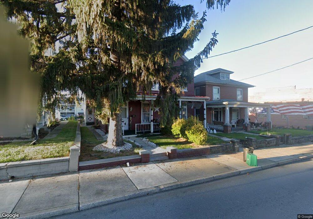
205 S State St Ephrata, PA 17522
Estimated Value: $273,000 - $304,000
5
Beds
2
Baths
2,116
Sq Ft
$136/Sq Ft
Est. Value
About This Home
This home is located at 205 S State St, Ephrata, PA 17522 and is currently estimated at $288,777, approximately $136 per square foot. 205 S State St is a home located in Lancaster County with nearby schools including Fulton El School, Ephrata Intermediate School, and Ephrata Senior High School.
Ownership History
Date
Name
Owned For
Owner Type
Purchase Details
Closed on
Mar 28, 2008
Sold by
Latshaw Dale L and Latshaw Kimberly S
Bought by
Drumheller Craig K and Drumheller Patricia A
Current Estimated Value
Home Financials for this Owner
Home Financials are based on the most recent Mortgage that was taken out on this home.
Original Mortgage
$100,000
Outstanding Balance
$63,643
Interest Rate
6.06%
Mortgage Type
Purchase Money Mortgage
Estimated Equity
$225,134
Create a Home Valuation Report for This Property
The Home Valuation Report is an in-depth analysis detailing your home's value as well as a comparison with similar homes in the area
Home Values in the Area
Average Home Value in this Area
Purchase History
| Date | Buyer | Sale Price | Title Company |
|---|---|---|---|
| Drumheller Craig K | $145,000 | None Available |
Source: Public Records
Mortgage History
| Date | Status | Borrower | Loan Amount |
|---|---|---|---|
| Open | Drumheller Craig K | $100,000 |
Source: Public Records
Tax History Compared to Growth
Tax History
| Year | Tax Paid | Tax Assessment Tax Assessment Total Assessment is a certain percentage of the fair market value that is determined by local assessors to be the total taxable value of land and additions on the property. | Land | Improvement |
|---|---|---|---|---|
| 2025 | $4,149 | $173,000 | $34,200 | $138,800 |
| 2024 | $4,149 | $173,000 | $34,200 | $138,800 |
| 2023 | $4,047 | $173,000 | $34,200 | $138,800 |
| 2022 | $3,874 | $173,000 | $34,200 | $138,800 |
| 2021 | $3,793 | $173,000 | $34,200 | $138,800 |
| 2020 | $3,793 | $173,000 | $34,200 | $138,800 |
| 2019 | $3,741 | $173,000 | $34,200 | $138,800 |
| 2018 | $2,932 | $173,000 | $34,200 | $138,800 |
| 2017 | $2,956 | $111,700 | $29,300 | $82,400 |
| 2016 | $2,933 | $111,700 | $29,300 | $82,400 |
| 2015 | $648 | $111,700 | $29,300 | $82,400 |
| 2014 | $2,189 | $111,700 | $29,300 | $82,400 |
Source: Public Records
Map
Nearby Homes
- 37 W Sunset Ave
- 42 Gross St
- 11 E Sunset Ave
- 19 E Sunset Ave
- 124 Washington Ave
- 144 Church Ave
- 147 Penn Ave
- 224 Cherry St
- 214 Sand Ct
- 432 E Main St
- 308 Washington Ave
- 259 Heatherwood Dr
- 346 Duke St
- 335 Lincoln Ave
- 503 N State St
- 109 Ashley Dr
- 741 Primrose Ln
- 245 S Reading Rd
- 112 Sycamore Rd
- 110 E Pine St
- 207 S State St
- 203 S State St
- 211 S State St
- 217 S State St
- 20 W Fulton St
- 141 S State St
- 22 W Fulton St
- 0 E Fulton St
- 24 W Fulton St
- 26 W Fulton St
- 227 S State St
- 30 W Fulton St
- 19 W Fulton St
- 21 W Fulton St
- 23 W Fulton St
- 206 S State St
- 204 S State St
- 0 Arch & Franklin St
- 222 S State St
- 25 W Fulton St