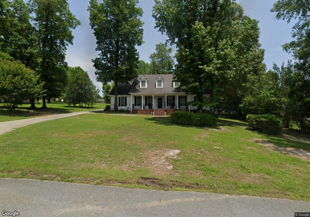
205 Saint Anthonys Dr Macon, GA 31220
Estimated Value: $334,000 - $397,000
3
Beds
3
Baths
3,400
Sq Ft
$108/Sq Ft
Est. Value
About This Home
This home is located at 205 Saint Anthonys Dr, Macon, GA 31220 and is currently estimated at $367,427, approximately $108 per square foot. 205 Saint Anthonys Dr is a home located in Bibb County with nearby schools including Heritage Elementary School, Weaver Middle School, and Westside High School.
Ownership History
Date
Name
Owned For
Owner Type
Purchase Details
Closed on
Dec 6, 2022
Sold by
Manning Willis E
Bought by
Massey Victor Mark and Massey Pamela Manning
Current Estimated Value
Purchase Details
Closed on
Jan 29, 2019
Sold by
Manning Betty M
Bought by
Manning Willis E and Manning Pamela M
Purchase Details
Closed on
Jun 16, 2015
Sold by
Manning Willis S and Manning Willis E
Bought by
Manning Betty M
Purchase Details
Closed on
Jun 26, 1990
Sold by
Norris Randall B and Groce Frank L
Bought by
Manning Willis E and Manning Betty M
Create a Home Valuation Report for This Property
The Home Valuation Report is an in-depth analysis detailing your home's value as well as a comparison with similar homes in the area
Purchase History
| Date | Buyer | Sale Price | Title Company |
|---|---|---|---|
| Massey Victor Mark | -- | -- | |
| Manning Willis E | -- | None Available | |
| Manning Betty M | -- | None Available | |
| Manning Willis E | $20,500 | -- |
Source: Public Records
Tax History
| Year | Tax Paid | Tax Assessment Tax Assessment Total Assessment is a certain percentage of the fair market value that is determined by local assessors to be the total taxable value of land and additions on the property. | Land | Improvement |
|---|---|---|---|---|
| 2025 | $2,638 | $114,358 | $10,000 | $104,358 |
| 2024 | $2,727 | $114,358 | $10,000 | $104,358 |
| 2023 | $2,269 | $114,358 | $10,000 | $104,358 |
| 2022 | $3,269 | $94,436 | $10,800 | $83,636 |
| 2021 | $3,589 | $94,436 | $10,800 | $83,636 |
| 2020 | $3,396 | $87,474 | $10,800 | $76,674 |
| 2019 | $2,881 | $87,474 | $10,800 | $76,674 |
| 2018 | $4,591 | $87,474 | $10,800 | $76,674 |
| 2017 | $2,746 | $87,474 | $10,800 | $76,674 |
| 2016 | $2,526 | $87,474 | $10,800 | $76,674 |
| 2015 | $3,578 | $87,474 | $10,800 | $76,674 |
| 2014 | -- | $86,402 | $10,800 | $75,602 |
Source: Public Records
Map
Nearby Homes
- 129 Harbor Dr
- 147 Harbor Dr
- 159 Harbor Dr
- 153 Harbor Dr
- 165 Harbor Dr
- 221 Shoreline Way
- 171 Harbor Dr
- 177 Harbor Dr
- 213 Shoreline Way
- 209 Shoreline Way
- 116 Nautica Point
- 250 Shoreline Way
- Plan 3629 at Treetops
- Plan 2100 at Treetops
- Plan 2307 at Treetops
- Plan 2628 at Treetops
- Plan 2316 at Treetops
- Plan 2700 at Treetops
- Plan 2620 at Treetops
- 124 Springs Ct N
- 203 Saint Anthonys Dr
- 209 Saint Anthonys Dr
- 209 Saint Anthonys Dr Unit 17
- 116 Cordell Ct
- 112 Cordell Ct
- 211 Saint Anthonys Dr
- 118 Cordell Ct
- 200 Saint Anthonys Dr
- 201 Saint Anthonys Dr
- 204 Saint Anthonys Dr
- 213 Saint Anthonys Dr
- 206 Saint Anthonys Dr
- 117 Cordell Ct
- 119 Cordell Ct
- 208 Saint Anthonys Dr
- 120 Cordell Ct
- 215 Saint Anthonys Dr
- 210 Saint Anthonys Dr
- 100 Cordell Ct
- 115 Cordell Ct
Your Personal Tour Guide
Ask me questions while you tour the home.