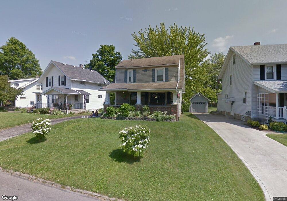
205 Saxton Rd Mansfield, OH 44907
Estimated Value: $129,000 - $146,000
3
Beds
1
Bath
1,152
Sq Ft
$118/Sq Ft
Est. Value
About This Home
This home is located at 205 Saxton Rd, Mansfield, OH 44907 and is currently estimated at $135,549, approximately $117 per square foot. 205 Saxton Rd is a home located in Richland County with nearby schools including St. Peter's Elementary/Montessori School, Discovery School, and St. Peter's Junior High / High School.
Ownership History
Date
Name
Owned For
Owner Type
Purchase Details
Closed on
Jun 1, 2010
Sold by
Wright Gary L and Wright Nellie E
Bought by
Brooks John H and Brooks Renee
Current Estimated Value
Home Financials for this Owner
Home Financials are based on the most recent Mortgage that was taken out on this home.
Original Mortgage
$78,526
Interest Rate
10%
Mortgage Type
Seller Take Back
Purchase Details
Closed on
Oct 3, 2005
Sold by
Duff Bradley J and Duff Kerry L
Bought by
Wright Gary L and Wright Nellie E
Purchase Details
Closed on
Aug 30, 1995
Sold by
Chandler Alan C
Bought by
Duff Bradley J and Duff Kerry L
Home Financials for this Owner
Home Financials are based on the most recent Mortgage that was taken out on this home.
Original Mortgage
$55,000
Interest Rate
7.55%
Mortgage Type
New Conventional
Create a Home Valuation Report for This Property
The Home Valuation Report is an in-depth analysis detailing your home's value as well as a comparison with similar homes in the area
Home Values in the Area
Average Home Value in this Area
Purchase History
| Date | Buyer | Sale Price | Title Company |
|---|---|---|---|
| Brooks John H | $78,526 | Attorney | |
| Wright Gary L | $65,000 | -- | |
| Duff Bradley J | $59,900 | -- |
Source: Public Records
Mortgage History
| Date | Status | Borrower | Loan Amount |
|---|---|---|---|
| Closed | Brooks John H | $78,526 | |
| Closed | Duff Bradley J | $55,000 |
Source: Public Records
Tax History
| Year | Tax Paid | Tax Assessment Tax Assessment Total Assessment is a certain percentage of the fair market value that is determined by local assessors to be the total taxable value of land and additions on the property. | Land | Improvement |
|---|---|---|---|---|
| 2024 | $1,687 | $35,230 | $5,270 | $29,960 |
| 2023 | $1,687 | $35,230 | $5,270 | $29,960 |
| 2022 | $1,392 | $24,360 | $4,600 | $19,760 |
| 2021 | $1,401 | $24,360 | $4,600 | $19,760 |
| 2020 | $1,433 | $24,360 | $4,600 | $19,760 |
| 2019 | $1,360 | $20,860 | $3,890 | $16,970 |
| 2018 | $1,342 | $20,860 | $3,890 | $16,970 |
| 2017 | $1,255 | $20,860 | $3,890 | $16,970 |
| 2016 | $1,203 | $18,630 | $3,700 | $14,930 |
| 2015 | $1,203 | $18,630 | $3,700 | $14,930 |
| 2014 | $1,134 | $18,630 | $3,700 | $14,930 |
| 2012 | $571 | $24,500 | $3,890 | $20,610 |
Source: Public Records
Map
Nearby Homes
- 0 Cline Ave Hedeen Abbeyfeale Unit 9066362
- 507 Townview Cir E
- 530 Wood St
- 27 Dunbilt Ct
- 219 Lexington Ave
- 310 Townview Cir N
- 151 Grover St
- 466 Lexington Ave
- 470 Lexington Ave
- 394 S Main St
- 377 S Main St
- 575 Crescent Rd
- 286 S Main St
- 183 Carpenter Rd
- 273 Hammond Ave
- 22 Small Ave
- 212 S Main St
- 172 Crouse St
- 135 Wood St
- 29 Ford Ave
- 203 Saxton Rd
- 201 Saxton Rd
- 209 Saxton Rd
- 223 Saxton Rd
- 195 Saxton Rd
- 324 Lexington Ave
- 330 Lexington Ave
- 214 Abbeyfeale Rd
- 222 Abbeyfeale Rd
- 318 Lexington Ave
- 336 Lexington Ave
- 206 Saxton Rd
- 208 Saxton Rd
- 224 Saxton Rd
- 200 Saxton Rd
- 220 Saxton Rd
- 310 Lexington Ave
- 230 Saxton Rd
- 196 Saxton Rd
- 191 Saxton Rd
Your Personal Tour Guide
Ask me questions while you tour the home.