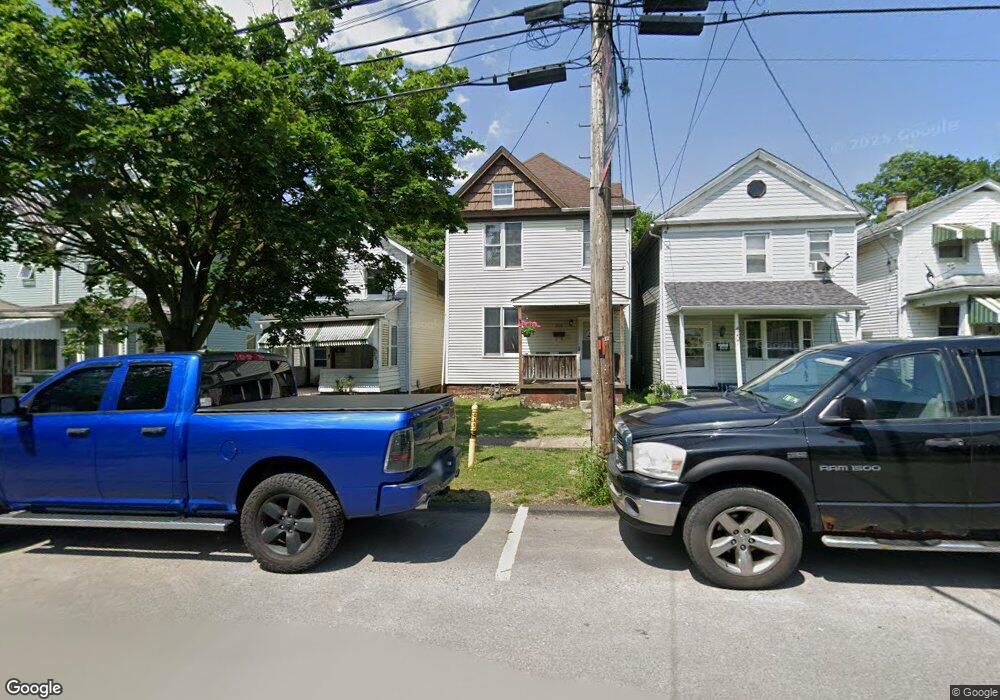
205 Sherman Ave Vandergrift, PA 15690
Estimated Value: $61,000 - $128,000
--
Bed
--
Bath
1,472
Sq Ft
$60/Sq Ft
Est. Value
About This Home
This home is located at 205 Sherman Ave, Vandergrift, PA 15690 and is currently estimated at $87,932, approximately $59 per square foot. 205 Sherman Ave is a home located in Westmoreland County with nearby schools including Kiski Area High School.
Ownership History
Date
Name
Owned For
Owner Type
Purchase Details
Closed on
Mar 14, 2005
Sold by
Household Finance Consumer Discount Co
Bought by
Wysocki Christopher J
Current Estimated Value
Home Financials for this Owner
Home Financials are based on the most recent Mortgage that was taken out on this home.
Original Mortgage
$23,000
Outstanding Balance
$11,791
Interest Rate
5.78%
Mortgage Type
Purchase Money Mortgage
Estimated Equity
$76,141
Purchase Details
Closed on
Jul 20, 2004
Sold by
Clawson Joleen A and Stecik Joleen A
Bought by
Household Finance Consumer Discount Co
Create a Home Valuation Report for This Property
The Home Valuation Report is an in-depth analysis detailing your home's value as well as a comparison with similar homes in the area
Home Values in the Area
Average Home Value in this Area
Purchase History
| Date | Buyer | Sale Price | Title Company |
|---|---|---|---|
| Wysocki Christopher J | $20,000 | -- | |
| Household Finance Consumer Discount Co | $2,847 | -- |
Source: Public Records
Mortgage History
| Date | Status | Borrower | Loan Amount |
|---|---|---|---|
| Open | Wysocki Christopher J | $23,000 |
Source: Public Records
Tax History Compared to Growth
Tax History
| Year | Tax Paid | Tax Assessment Tax Assessment Total Assessment is a certain percentage of the fair market value that is determined by local assessors to be the total taxable value of land and additions on the property. | Land | Improvement |
|---|---|---|---|---|
| 2025 | $1,823 | $11,170 | $1,680 | $9,490 |
| 2024 | $1,736 | $11,170 | $1,680 | $9,490 |
| 2023 | $1,598 | $11,170 | $1,680 | $9,490 |
| 2022 | $1,565 | $11,170 | $1,680 | $9,490 |
| 2021 | $1,565 | $11,170 | $1,680 | $9,490 |
| 2020 | $1,561 | $11,170 | $1,680 | $9,490 |
| 2019 | $1,556 | $11,170 | $1,680 | $9,490 |
| 2018 | $1,533 | $11,170 | $1,680 | $9,490 |
| 2017 | $1,500 | $11,170 | $1,680 | $9,490 |
| 2016 | $1,479 | $11,170 | $1,680 | $9,490 |
| 2015 | $1,479 | $11,170 | $1,680 | $9,490 |
| 2014 | $1,472 | $11,170 | $1,680 | $9,490 |
Source: Public Records
Map
Nearby Homes
- 121 Hamilton Ave
- 154 Jefferson Ave Unit 6
- 112 Farragut Ave Unit 3
- 137 Sherman Ave
- 133 Sherman Ave
- 129 Franklin Ave
- 107 Sumner Ave
- 1116 Grant St
- 219 Quay St
- 1252 Jefferson St
- 325 -1/2 Quay St
- 419 Vandergrift Ln
- 404 1/2 Franklin Ave
- 608 Kennedy Ave
- 311 Elm St
- 716 Kennedy Ave
- 1805 Moore Ave
- 315 Spruce St
- 314 Linden St
- 2106 River Rd
- 207 Sherman Ave
- 203 Sherman Ave
- 209 Sherman Ave
- 209 Sherman Ave
- 201 Sherman Ave
- 201 Sherman Ave
- 211 Sherman Ave
- 199 Sherman Ave
- 213 Sherman Ave
- 197 Sherman Ave
- 215 Sherman Ave
- 195 Sherman Ave
- 204 Sherman Ave
- 217 Sherman Ave
- 193 Sherman Ave
- 206 Sherman Ave
- 208 Sherman Ave
- 100 Jefferson Ave
- 219 Sherman Ave
- 210 Sherman Ave