205 Sherman St Sylvester, WV 25193
Estimated Value: $88,000 - $113,000
2
Beds
1
Bath
1,390
Sq Ft
$69/Sq Ft
Est. Value
About This Home
This home is located at 205 Sherman St, Sylvester, WV 25193 and is currently estimated at $96,200, approximately $69 per square foot. 205 Sherman St is a home.
Ownership History
Date
Name
Owned For
Owner Type
Purchase Details
Closed on
Nov 1, 2022
Sold by
Brown Christopher Michael and Brown Christopher
Bought by
Dickens William D and Dickens Sheila A
Current Estimated Value
Home Financials for this Owner
Home Financials are based on the most recent Mortgage that was taken out on this home.
Original Mortgage
$80,000
Outstanding Balance
$76,406
Interest Rate
4.85%
Mortgage Type
New Conventional
Estimated Equity
$19,794
Purchase Details
Closed on
Aug 15, 2006
Bought by
Dingess Vicki L and Nichols Larry
Home Financials for this Owner
Home Financials are based on the most recent Mortgage that was taken out on this home.
Original Mortgage
$55,681
Interest Rate
6.83%
Mortgage Type
Purchase Money Mortgage
Create a Home Valuation Report for This Property
The Home Valuation Report is an in-depth analysis detailing your home's value as well as a comparison with similar homes in the area
Home Values in the Area
Average Home Value in this Area
Purchase History
| Date | Buyer | Sale Price | Title Company |
|---|---|---|---|
| Dickens William D | $80,000 | -- | |
| Dickens William D | $80,000 | None Listed On Document | |
| Dingess Vicki L | -- | -- |
Source: Public Records
Mortgage History
| Date | Status | Borrower | Loan Amount |
|---|---|---|---|
| Open | Dickens William D | $80,000 | |
| Closed | Dickens William D | $80,000 | |
| Previous Owner | Dingess Vicki L | $55,681 |
Source: Public Records
Tax History Compared to Growth
Tax History
| Year | Tax Paid | Tax Assessment Tax Assessment Total Assessment is a certain percentage of the fair market value that is determined by local assessors to be the total taxable value of land and additions on the property. | Land | Improvement |
|---|---|---|---|---|
| 2024 | $656 | $44,040 | $3,360 | $40,680 |
| 2023 | $601 | $40,440 | $3,360 | $37,080 |
| 2022 | $567 | $37,500 | $3,360 | $34,140 |
| 2021 | $239 | $35,760 | $3,360 | $32,400 |
| 2020 | $242 | $35,940 | $3,360 | $32,580 |
| 2019 | $242 | $35,940 | $3,360 | $32,580 |
| 2018 | $245 | $36,120 | $3,360 | $32,760 |
| 2017 | $207 | $33,660 | $3,360 | $30,300 |
| 2016 | $207 | $33,660 | $3,360 | $30,300 |
| 2015 | $137 | $29,040 | $3,360 | $25,680 |
| 2014 | $175 | $31,560 | $3,360 | $28,200 |
Source: Public Records
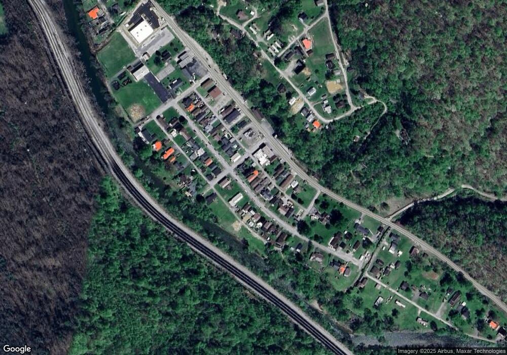
Map
Nearby Homes
- 686 Branham Heights Rd
- 3822 Seng Creek Rd
- 24061 State Highway 3
- 4076 Seng Creek Rd
- 168 Bowen Lane and Aleshire Walk Rd
- 604 Coal Fork Laurel Rd
- 14156 Coal River Rd
- 6888 Joes Creek Rd
- 574 Churchill Rd
- 1561 Prenter Rd
- 135 Dakota Ct
- 306 Rockcastle Rd
- 269 Nevada St
- 0 Pond Fork Rd
- 20265 Pond Fork Rd
- 23836 Pond Fork Rd
- 120 Tranquil Ct
- 112 Tranquil Ct
- 80 Flint Ln
- 1315 Drew Creek
- 203 Sherman St
- 207 Sherman St
- 201 Sherman St
- 209 Sherman St
- 202 Sherman St
- 211 Sherman St
- 123 Sherman St
- 33094 Coal River Rd
- 33094 Coal River Rd
- 206 Sherman St
- 33124 Coal River Rd
- 208 Sherman St
- 121 Sherman St
- 122 Sherman St
- 210 Sherman St
- 215 Sherman St
- 120 Sherman St
- 212 Sherman St
- 117 Sherman St
- 219 Sherman St