Estimated Value: $97,536 - $111,000
--
Bed
--
Bath
1,024
Sq Ft
$103/Sq Ft
Est. Value
About This Home
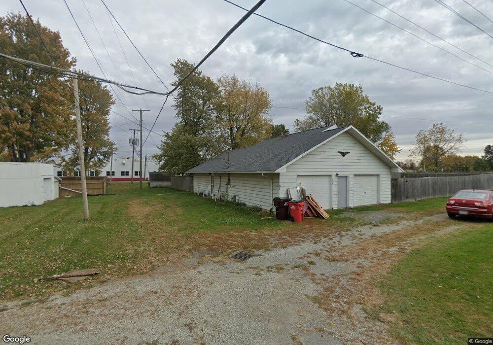
This home is located at 205 Short St, Ada, OH 45810 and is currently estimated at $105,384, approximately $102 per square foot. 205 Short St is a home with nearby schools including Ada Elementary School and Ada High School.
Ownership History
Date
Name
Owned For
Owner Type
Purchase Details
Closed on
Jan 31, 2023
Sold by
419Rent Llc
Bought by
Smith Sally and Alexander Vincent T
Current Estimated Value
Purchase Details
Closed on
Jul 2, 2021
Sold by
Cmfh Llc
Bought by
419Rent Llc
Home Financials for this Owner
Home Financials are based on the most recent Mortgage that was taken out on this home.
Original Mortgage
$640,000
Interest Rate
2.9%
Mortgage Type
Future Advance Clause Open End Mortgage
Purchase Details
Closed on
Sep 4, 2015
Sold by
Henson Corey
Bought by
Cmfh Llc
Purchase Details
Closed on
Aug 8, 2003
Bought by
Henson Corey
Create a Home Valuation Report for This Property
The Home Valuation Report is an in-depth analysis detailing your home's value as well as a comparison with similar homes in the area
Home Values in the Area
Average Home Value in this Area
Purchase History
| Date | Buyer | Sale Price | Title Company |
|---|---|---|---|
| Smith Sally | $51,000 | -- | |
| 419Rent Llc | $320,000 | None Available | |
| Cmfh Llc | -- | None Available | |
| Henson Corey | $30,000 | -- |
Source: Public Records
Mortgage History
| Date | Status | Borrower | Loan Amount |
|---|---|---|---|
| Previous Owner | 419Rent Llc | $640,000 |
Source: Public Records
Tax History Compared to Growth
Tax History
| Year | Tax Paid | Tax Assessment Tax Assessment Total Assessment is a certain percentage of the fair market value that is determined by local assessors to be the total taxable value of land and additions on the property. | Land | Improvement |
|---|---|---|---|---|
| 2024 | $959 | $23,890 | $1,940 | $21,950 |
| 2023 | $959 | $23,890 | $1,940 | $21,950 |
| 2022 | $811 | $17,480 | $2,040 | $15,440 |
| 2021 | $893 | $17,480 | $2,040 | $15,440 |
| 2020 | $901 | $17,480 | $2,040 | $15,440 |
| 2019 | $813 | $15,900 | $1,940 | $13,960 |
| 2018 | $796 | $15,900 | $1,940 | $13,960 |
| 2017 | $779 | $15,900 | $1,940 | $13,960 |
| 2016 | $571 | $12,020 | $1,240 | $10,780 |
| 2015 | $525 | $12,020 | $1,240 | $10,780 |
| 2014 | $889 | $12,020 | $1,240 | $10,780 |
| 2013 | $616 | $12,660 | $1,240 | $11,420 |
Source: Public Records
Map
Nearby Homes
- 212 N Simon St
- 211 S Main St
- 442 Edwards St
- 118 W Buckeye Ave
- 444 Edwards St Unit A, B
- 444 Edwards St Unit 2
- 308-310 S Simon St
- 210 N Gilbert St
- 211 W Buckeye Ave Unit 211 1/2
- 301 S Main St
- 314 E University Ave
- 128 W North Ave
- 629 N Main St
- 613 S Gilbert St
- 617 S Gilbert St
- 623 S Gilbert St
- 710 S Main St
- 4071 Township Road 35
- 2864 Ohio 309
- 3931 County Road 80
- 313 E Highland Ave
- 325 E Highland Ave
- 307 E Highland Ave
- 207 Short St
- 207 N Simon St
- 226 E Buckeye Ave
- 225 E Highland Ave
- 312 E Highland Ave
- 222 E Buckeye Ave
- 322 E Highland Ave
- 221 E Highland Ave
- 328 E Highland Ave
- 220 E Buckeye Ave
- 215 E Highland Ave
- 442 E Highland Ave
- 228 E Highland Ave
- 301 Liberty St Unit 303
- 220 Liberty St