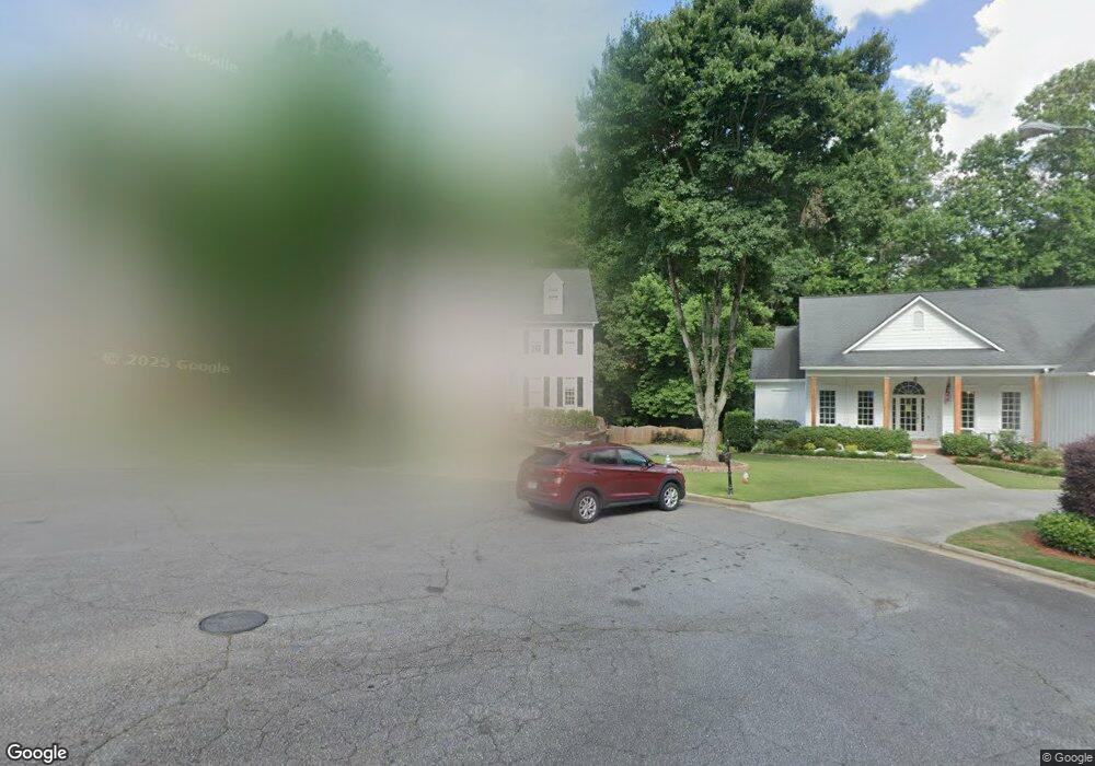
205 Silver Walk Unit 1 Canton, GA 30114
Oak Grove NeighborhoodEstimated Value: $525,000 - $550,627
4
Beds
4
Baths
3,678
Sq Ft
$146/Sq Ft
Est. Value
About This Home
This home is located at 205 Silver Walk Unit 1, Canton, GA 30114 and is currently estimated at $537,814, approximately $146 per square foot. 205 Silver Walk Unit 1 is a home located in Cherokee County with nearby schools including Sixes Elementary School, Freedom Middle School, and Woodstock High School.
Ownership History
Date
Name
Owned For
Owner Type
Purchase Details
Closed on
Jul 2, 2020
Sold by
Mcdonald Stephanie
Bought by
Neill Caleb Brannan and Neill Samantha Morgan
Current Estimated Value
Home Financials for this Owner
Home Financials are based on the most recent Mortgage that was taken out on this home.
Original Mortgage
$223,100
Outstanding Balance
$196,946
Interest Rate
3.1%
Mortgage Type
New Conventional
Estimated Equity
$340,868
Purchase Details
Closed on
Aug 6, 2004
Sold by
Hawkins Melanie T
Bought by
Crockett Stephanie
Home Financials for this Owner
Home Financials are based on the most recent Mortgage that was taken out on this home.
Original Mortgage
$229,425
Interest Rate
8.13%
Purchase Details
Closed on
Jun 9, 1999
Sold by
Wind River Homes Inc
Bought by
Hawkins James K and Hawkins Melanie T
Home Financials for this Owner
Home Financials are based on the most recent Mortgage that was taken out on this home.
Original Mortgage
$128,000
Interest Rate
7.23%
Create a Home Valuation Report for This Property
The Home Valuation Report is an in-depth analysis detailing your home's value as well as a comparison with similar homes in the area
Home Values in the Area
Average Home Value in this Area
Purchase History
| Date | Buyer | Sale Price | Title Company |
|---|---|---|---|
| Neill Caleb Brannan | $230,000 | -- | |
| Crockett Stephanie | $241,500 | -- | |
| Hawkins James K | $206,600 | -- |
Source: Public Records
Mortgage History
| Date | Status | Borrower | Loan Amount |
|---|---|---|---|
| Open | Neill Caleb Brannan | $223,100 | |
| Previous Owner | Crockett Stephanie | $229,425 | |
| Previous Owner | Hawkins James K | $128,000 |
Source: Public Records
Tax History Compared to Growth
Tax History
| Year | Tax Paid | Tax Assessment Tax Assessment Total Assessment is a certain percentage of the fair market value that is determined by local assessors to be the total taxable value of land and additions on the property. | Land | Improvement |
|---|---|---|---|---|
| 2025 | $4,754 | $196,080 | $41,200 | $154,880 |
| 2024 | $4,826 | $201,360 | $44,800 | $156,560 |
| 2023 | $4,298 | $196,960 | $41,600 | $155,360 |
| 2022 | $4,046 | $162,080 | $32,000 | $130,080 |
| 2021 | $2,549 | $92,000 | $17,060 | $74,940 |
| 2020 | $3,717 | $130,800 | $24,000 | $106,800 |
| 2019 | $3,479 | $122,440 | $20,800 | $101,640 |
| 2018 | $3,373 | $118,000 | $20,800 | $97,200 |
| 2017 | $2,870 | $280,300 | $20,800 | $91,320 |
| 2016 | $2,870 | $252,200 | $20,000 | $80,880 |
| 2015 | $2,581 | $225,200 | $20,000 | $70,080 |
| 2014 | $2,495 | $217,500 | $20,000 | $67,000 |
Source: Public Records
Map
Nearby Homes
- 117 Copper Trail Unit I
- 0 Sixes Creek Trail Unit 7197452
- 190 Sixes Creek Trail
- 187 Sixes Creek Trail
- 6055 Golden Landing
- 108 Drury Ln
- 178 Brinson Cir
- 484 Crestmont Ln
- 305 Ridge Rd
- 208 Sawtooth Ct
- 130 Crestmont Dr
- 206 Sawtooth Ct
- 779 Holly St
- 421 Crestmont Ln
- 417 Crestmont Ln
- 103 Prominence Ct
- 198 Oak Hill Cir
- 345 Meadows Ln
- 1056 Copper Creek Dr Unit 1
- 208 Silver Walk Unit 1
- 436 Redfield Dr Unit 2
- 432 Redfield Dr Unit 2
- 1060 Copper Creek Dr
- 0 Silver Walk
- 428 Redfield Dr Unit 2
- 204 Silver Walk
- 1064 Copper Creek Dr Unit 1
- 1052 Copper Creek Dr Unit 272
- 1052 Copper Creek Dr Unit 1052
- 1052 Copper Creek Dr
- 1052 Copper Creek Dr Unit I
- 424 Redfield Dr Unit II
- 1049 Copper Creek Dr Unit 1
- 1068 Copper Creek Dr
- 1045 Copper Creek Dr
- 1072 Copper Creek Dr
- 445 Redfield Dr
- 500 Ruby Ln
