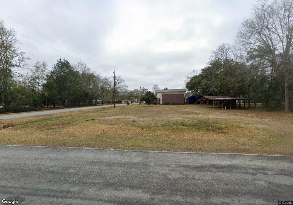
205 Simmons St Metter, GA 30439
Estimated Value: $114,000 - $177,000
3
Beds
2
Baths
1,322
Sq Ft
$102/Sq Ft
Est. Value
About This Home
This home is located at 205 Simmons St, Metter, GA 30439 and is currently estimated at $134,478, approximately $101 per square foot. 205 Simmons St is a home located in Candler County with nearby schools including Metter Elementary School, Metter Intermediate School, and Metter Middle School.
Ownership History
Date
Name
Owned For
Owner Type
Purchase Details
Closed on
Aug 22, 2025
Sold by
Sikes Sutton Tina
Bought by
Sutton Gary and Sutton Shelia
Current Estimated Value
Purchase Details
Closed on
Dec 30, 2024
Sold by
Sapp Gary James
Bought by
Sikes Sutton Tina
Purchase Details
Closed on
Dec 28, 2023
Sold by
Sikes Sutton Tina
Bought by
Sapp Gary James and Sikes Gilbert O
Purchase Details
Closed on
Aug 31, 2022
Sold by
Sikes Douglas Anthony
Bought by
Sutton Tina Sikes
Purchase Details
Closed on
Nov 2, 2018
Sold by
Sikes Carroll
Bought by
Sikes Douglas Anthony
Purchase Details
Closed on
Nov 30, 2009
Sold by
Morgan Joann W
Bought by
Sikes Carroll
Purchase Details
Closed on
Oct 1, 1988
Bought by
Morgan Joann
Purchase Details
Closed on
Aug 1, 1977
Bought by
Hendrix Frank
Purchase Details
Closed on
May 1, 1977
Bought by
Hendrix Frank and Hendrix Mar
Create a Home Valuation Report for This Property
The Home Valuation Report is an in-depth analysis detailing your home's value as well as a comparison with similar homes in the area
Home Values in the Area
Average Home Value in this Area
Purchase History
| Date | Buyer | Sale Price | Title Company |
|---|---|---|---|
| Sutton Gary | -- | -- | |
| Sikes Sutton Tina | -- | -- | |
| Sapp Gary James | -- | -- | |
| Sutton Tina Sikes | -- | -- | |
| Sikes Douglas Anthony | -- | -- | |
| Sikes Carroll | -- | -- | |
| Morgan Joann | $7,500 | -- | |
| Hendrix Frank | $4,000 | -- | |
| Hendrix Frank | $4,000 | -- |
Source: Public Records
Tax History Compared to Growth
Tax History
| Year | Tax Paid | Tax Assessment Tax Assessment Total Assessment is a certain percentage of the fair market value that is determined by local assessors to be the total taxable value of land and additions on the property. | Land | Improvement |
|---|---|---|---|---|
| 2024 | $690 | $11,980 | $1,500 | $10,480 |
| 2023 | $690 | $11,554 | $1,500 | $10,054 |
| 2022 | $550 | $9,859 | $1,500 | $8,359 |
| 2021 | $475 | $8,444 | $1,500 | $6,944 |
| 2020 | $476 | $8,444 | $1,500 | $6,944 |
| 2019 | $608 | $10,352 | $1,350 | $9,002 |
| 2018 | $370 | $9,284 | $1,350 | $7,934 |
| 2017 | $316 | $9,434 | $1,500 | $7,934 |
| 2016 | $606 | $9,434 | $1,500 | $7,934 |
| 2015 | $463 | $9,434 | $1,500 | $7,934 |
| 2014 | $463 | $9,434 | $1,500 | $7,934 |
Source: Public Records
Map
Nearby Homes
- 40 Hickory St
- 250 S Lewis St
- 465 Cedar St
- 405 Preston St
- 295 S Lewis St
- 450 S Rountree St
- 365 S Leroy St
- 405 S Leroy St
- 550 S Rountree St
- 0 Central Ave Unit 10628403
- 150 W Willow Lake Dr
- 4515 Harper Rd
- 1449 Hulsey Dr
- 286 Webb Cir
- 0 Oak Tree Rd Unit (31.62 AC) 10490874
- 0 Indigo Rd Unit 10425491
- 26844 Georgia 46
- 527 Windmill Rd
- 14450 Stillmore Hwy
- 6424 Collins Rd
- 215 Simmons St
- 223 Simmons St
- 550 W Lee St
- 210 Simmons St
- 73 Simmons St
- 220 Simmons St
- 230 High St
- 96 Simmons St
- 285 Simmons St
- 240 Simmons St
- 430 W Lee St
- 405 W Lillian St
- 0 Highway 23 Unit 6 8266725
- 0 Highway 23 Unit Parcel 6 8859498
- 0 Highway 23 Unit 1 8435359
- 50 Simmons St
- 260 Simmons St
- 25 High St
- 245 High St
- 420 W Lee St