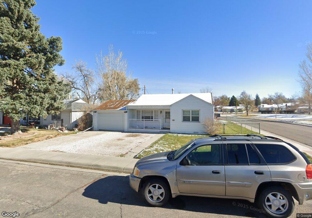
205 Siskin St Unit A Casper, WY 82609
East Casper NeighborhoodEstimated Value: $209,000 - $226,000
2
Beds
1
Bath
1,212
Sq Ft
$179/Sq Ft
Est. Value
About This Home
This home is located at 205 Siskin St Unit A, Casper, WY 82609 and is currently estimated at $216,857, approximately $178 per square foot. 205 Siskin St Unit A is a home located in Natrona County.
Ownership History
Date
Name
Owned For
Owner Type
Purchase Details
Closed on
May 9, 2018
Sold by
Gsf Mtg Corp
Bought by
Rogers Randy Neil and Rogers Kathi Renee
Current Estimated Value
Purchase Details
Closed on
Mar 15, 2018
Sold by
Lowder Justin and Mortgage Electronic Registrati
Bought by
Gsf Mortgage Corp
Purchase Details
Closed on
Jun 10, 2016
Sold by
Bible Christian J and Bible Brittany E
Bought by
Lowder Justin
Purchase Details
Closed on
Jul 25, 2011
Sold by
Hampton Robert Troy
Bought by
Morris Christian J W
Create a Home Valuation Report for This Property
The Home Valuation Report is an in-depth analysis detailing your home's value as well as a comparison with similar homes in the area
Home Values in the Area
Average Home Value in this Area
Purchase History
| Date | Buyer | Sale Price | Title Company |
|---|---|---|---|
| Rogers Randy Neil | -- | First American Title | |
| Gsf Mortgage Corp | $111,520 | None Available | |
| Lowder Justin | -- | Rocky Mountain Title | |
| Morris Christian J W | -- | -- |
Source: Public Records
Tax History Compared to Growth
Tax History
| Year | Tax Paid | Tax Assessment Tax Assessment Total Assessment is a certain percentage of the fair market value that is determined by local assessors to be the total taxable value of land and additions on the property. | Land | Improvement |
|---|---|---|---|---|
| 2025 | $886 | $12,337 | $2,332 | $10,005 |
| 2024 | $1,136 | $15,816 | $2,989 | $12,827 |
| 2023 | $1,139 | $15,620 | $2,902 | $12,718 |
| 2022 | $925 | $12,687 | $2,580 | $10,107 |
| 2021 | $825 | $11,323 | $2,447 | $8,876 |
| 2020 | $839 | $11,504 | $4,607 | $6,897 |
| 2019 | $876 | $12,012 | $2,380 | $9,632 |
| 2018 | $1,077 | $14,780 | $2,380 | $12,400 |
| 2017 | $1,102 | $15,112 | $2,380 | $12,732 |
| 2015 | $1,084 | $14,866 | $2,380 | $12,486 |
| 2014 | $1,030 | $14,137 | $2,380 | $11,757 |
Source: Public Records
Map
Nearby Homes
- 2112 E 1st Ln
- 2064 E A St
- 2061 E A St
- 2047 E 1st St
- 120 S Beverly St
- 311 S Elk St
- 263 S Kenwood St
- 2509 E 9th St
- 777 Bernadine St
- 2448 Cheesbrough Way
- 1017 S Nebraska Ave
- 111 N Forest #64 Dr
- 1302 E 7th St
- 501 S Jackson St
- 823 N Washington St
- 531 Seminoe St
- 917 N Washington St
- 3501 E 8th St
- 1002 E 10th St
- 2009 S Beverly St
- 205 Siskin St
- 213 Siskin St
- 204 Siskin St
- 212 Siskin St
- 212 Siskin St Unit A
- 223 Siskin St
- 223 Siskin St Unit E A
- 223 Siskin St Unit A
- 2230 Dale Dr
- 2230 Dale Dr Unit E A St
- 2131 E A St
- 2125 E A St Unit Beverly
- 2125 E A St
- 218 Junco St
- 222 Siskin St
- 233 Siskin St
- 2121 E A St Unit Beverly
- 226 Junco St
- 2115 E A St
- 232 Siskin St