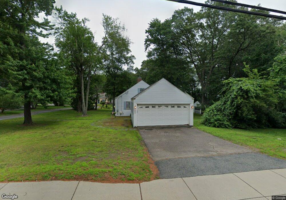
205 Speen St Natick, MA 01760
Estimated Value: $636,000 - $855,305
2
Beds
1
Bath
1,205
Sq Ft
$634/Sq Ft
Est. Value
About This Home
This home is located at 205 Speen St, Natick, MA 01760 and is currently estimated at $763,826, approximately $633 per square foot. 205 Speen St is a home located in Middlesex County with nearby schools including Natick High School, Brown Elementary School, and J F Kennedy Middle School.
Ownership History
Date
Name
Owned For
Owner Type
Purchase Details
Closed on
Jun 25, 1998
Sold by
Anthony Patricia M
Bought by
Hughes Charles A and Ordway Kathryn A
Current Estimated Value
Home Financials for this Owner
Home Financials are based on the most recent Mortgage that was taken out on this home.
Original Mortgage
$171,000
Outstanding Balance
$35,268
Interest Rate
7.09%
Mortgage Type
Purchase Money Mortgage
Estimated Equity
$728,558
Create a Home Valuation Report for This Property
The Home Valuation Report is an in-depth analysis detailing your home's value as well as a comparison with similar homes in the area
Home Values in the Area
Average Home Value in this Area
Purchase History
| Date | Buyer | Sale Price | Title Company |
|---|---|---|---|
| Hughes Charles A | $180,000 | -- |
Source: Public Records
Mortgage History
| Date | Status | Borrower | Loan Amount |
|---|---|---|---|
| Open | Hughes Charles A | $171,000 |
Source: Public Records
Tax History Compared to Growth
Tax History
| Year | Tax Paid | Tax Assessment Tax Assessment Total Assessment is a certain percentage of the fair market value that is determined by local assessors to be the total taxable value of land and additions on the property. | Land | Improvement |
|---|---|---|---|---|
| 2025 | $7,232 | $604,700 | $457,600 | $147,100 |
| 2024 | $7,059 | $575,800 | $433,400 | $142,400 |
| 2023 | $6,929 | $548,200 | $401,900 | $146,300 |
| 2022 | $6,646 | $498,200 | $361,200 | $137,000 |
| 2021 | $6,418 | $471,600 | $342,200 | $129,400 |
| 2020 | $6,413 | $471,200 | $327,900 | $143,300 |
| 2019 | $5,989 | $471,200 | $327,900 | $143,300 |
| 2018 | $5,489 | $420,600 | $313,700 | $106,900 |
| 2017 | $6,258 | $463,900 | $358,900 | $105,000 |
| 2016 | $5,847 | $430,900 | $331,600 | $99,300 |
| 2015 | $5,669 | $410,200 | $318,800 | $91,400 |
Source: Public Records
Map
Nearby Homes
- 21 Kelsey Rd
- 2 Lodge Rd
- 8 Hartford St
- 55 Fisher St
- 38 Ranger Rd
- 18 2nd St
- 34 Fisher St
- 91 Speen St
- 293 Bacon St Unit A
- 293 Bacon St Unit B
- 7 Jackson Ct Unit B
- 40 Nouvelle Way Unit 441
- 10 Nouvelle Way Unit 923
- 40 Nouvelle Way Unit 749
- 10 Nouvelle Way Unit 803
- 36 Porter Rd
- 32 Silver Hill Ln Unit 1
- 44 Silver Hill Ln Unit 15
- 1 Silver Hill Ln Unit 7
- 11 Silver Hill Ln Unit 11
- 5 Lodge Ln
- 7 Lodge Ln
- 201 Speen St
- 4 Lodge Ln
- 6 Lodge Ln
- 209 Speen St
- 192 Speen St
- 21 Crescent St
- 44 Fairway Cir
- 43 Fairway Cir
- 42 Fairway Cir
- 44 Fairway Cir Unit 44
- 43 Fairway Cir Unit 43,43
- 44 Fairway Cir Unit 44,44
- 197 Speen St
- 3 Francis Ave
- 5 Francis Ave
- 1 Francis Ave
- 41 Fairway Cir
- 39 Fairway Cir