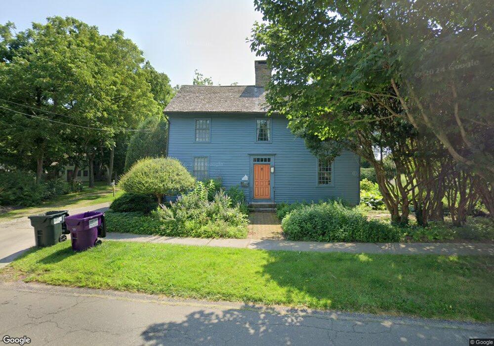
205 State St Guilford, CT 06437
Estimated Value: $807,000 - $1,141,799
Studio
3
Baths
--
Sq Ft
20,038
Sq Ft Lot
About This Home
This home is located at 205 State St, Guilford, CT 06437 and is currently estimated at $967,950. 205 State St is a home located in New Haven County with nearby schools including E.C. Adams Middle School, A. Baldwin Middle School, and Guilford High School.
Ownership History
Date
Name
Owned For
Owner Type
Purchase Details
Closed on
Sep 12, 2005
Sold by
Est Rice Jacqueline M and Marcus Milton S
Bought by
Hartzell Jon and Hartzell Sally
Current Estimated Value
Home Financials for this Owner
Home Financials are based on the most recent Mortgage that was taken out on this home.
Original Mortgage
$359,650
Interest Rate
5.79%
Purchase Details
Closed on
Jan 27, 2000
Sold by
Niedermann Timothy P and Sweitzer Susan L
Bought by
Rice Jacqueline M
Purchase Details
Closed on
Aug 8, 1988
Sold by
Greene Nathaniel B
Bought by
Niedermann Timothy P
Home Financials for this Owner
Home Financials are based on the most recent Mortgage that was taken out on this home.
Original Mortgage
$200,000
Interest Rate
10.36%
Create a Home Valuation Report for This Property
The Home Valuation Report is an in-depth analysis detailing your home's value as well as a comparison with similar homes in the area
Home Values in the Area
Average Home Value in this Area
Purchase History
| Date | Buyer | Sale Price | Title Company |
|---|---|---|---|
| Hartzell Jon | $505,000 | -- | |
| Rice Jacqueline M | $250,000 | -- | |
| Niedermann Timothy P | $267,000 | -- |
Source: Public Records
Mortgage History
| Date | Status | Borrower | Loan Amount |
|---|---|---|---|
| Open | Niedermann Timothy P | $320,000 | |
| Closed | Niedermann Timothy P | $359,650 | |
| Previous Owner | Niedermann Timothy P | $200,000 |
Source: Public Records
Tax History
| Year | Tax Paid | Tax Assessment Tax Assessment Total Assessment is a certain percentage of the fair market value that is determined by local assessors to be the total taxable value of land and additions on the property. | Land | Improvement |
|---|---|---|---|---|
| 2025 | $16,810 | $607,950 | $292,320 | $315,630 |
| 2024 | $16,159 | $607,950 | $292,320 | $315,630 |
| 2023 | $15,734 | $607,950 | $292,320 | $315,630 |
| 2022 | $14,283 | $429,570 | $232,370 | $197,200 |
| 2021 | $14,013 | $429,570 | $232,370 | $197,200 |
| 2020 | $13,879 | $429,570 | $232,370 | $197,200 |
| 2019 | $13,759 | $429,570 | $232,370 | $197,200 |
| 2018 | $13,437 | $429,570 | $232,370 | $197,200 |
| 2017 | $14,212 | $484,050 | $266,040 | $218,010 |
| 2016 | $13,878 | $484,050 | $266,040 | $218,010 |
| 2015 | $13,670 | $484,050 | $266,040 | $218,010 |
| 2014 | $13,273 | $484,050 | $266,040 | $218,010 |
Source: Public Records
Map
Nearby Homes
- 14 Village Cir Unit 14
- 16 Village Cir Unit 16
- 7 Village Cir Unit 7
- 24 Village Cir Unit 24
- 28 Village Cir Unit 28
- 82 State St
- 294 Church St
- 33 Village Walk Unit 33
- 35 Village Walk Unit 35
- 51 Mill Rd
- 18 Fair St Unit 5
- 22 Village Cir Unit 22
- 147 Boston St
- 26 Water St
- 0 Long Hill Rd Unit 24156467
- 174 Whitfield St
- 402 Boston St
- 409 Boston St
- 66 High St Unit 38
- 66 High St Unit 34
Your Personal Tour Guide
Ask me questions while you tour the home.