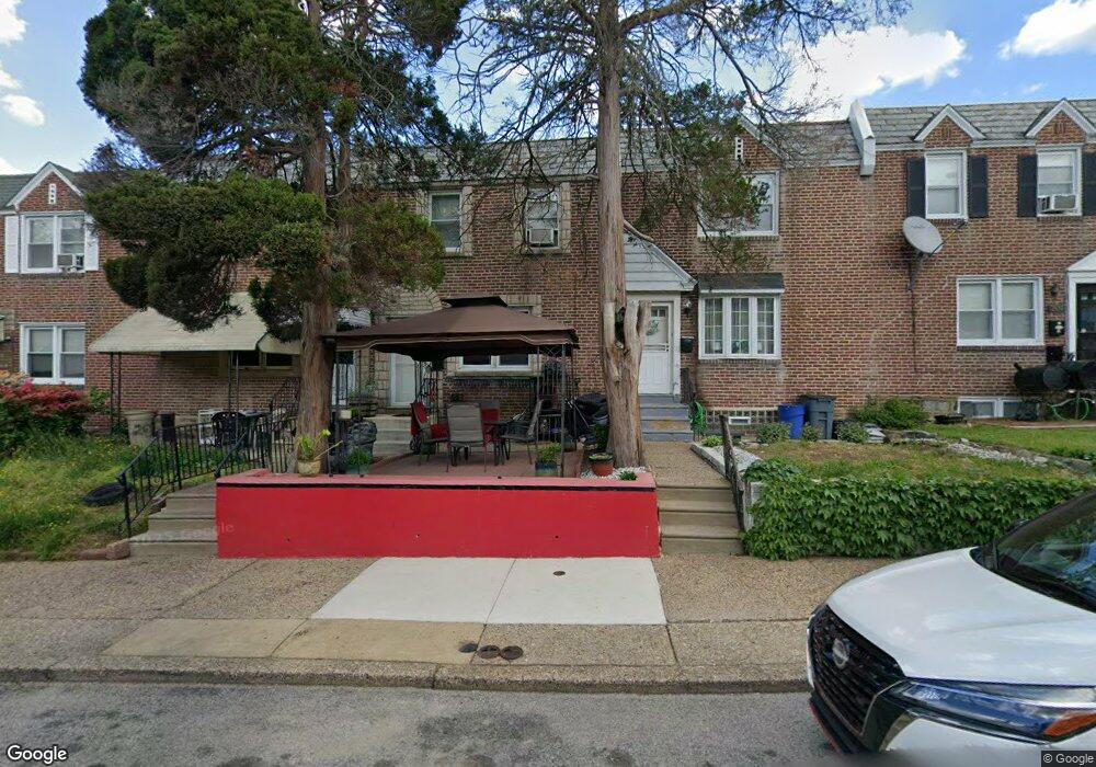
205 Stevens St Philadelphia, PA 19111
Lawncrest NeighborhoodEstimated Value: $198,000 - $236,000
3
Beds
1
Bath
1,224
Sq Ft
$176/Sq Ft
Est. Value
About This Home
This home is located at 205 Stevens St, Philadelphia, PA 19111 and is currently estimated at $215,142, approximately $175 per square foot. 205 Stevens St is a home located in Philadelphia County with nearby schools including Benjamin Franklin Elementary School, Samuel Fels High School, and Mast Community Charter Ii.
Ownership History
Date
Name
Owned For
Owner Type
Purchase Details
Closed on
May 19, 2008
Sold by
Fitzpatrick Florence T and Fitzpatrick Michael J
Bought by
Fabian Jacqueline M
Current Estimated Value
Home Financials for this Owner
Home Financials are based on the most recent Mortgage that was taken out on this home.
Original Mortgage
$99,114
Outstanding Balance
$62,965
Interest Rate
5.94%
Mortgage Type
FHA
Estimated Equity
$152,177
Create a Home Valuation Report for This Property
The Home Valuation Report is an in-depth analysis detailing your home's value as well as a comparison with similar homes in the area
Home Values in the Area
Average Home Value in this Area
Purchase History
| Date | Buyer | Sale Price | Title Company |
|---|---|---|---|
| Fabian Jacqueline M | $99,900 | Lawyers Title Ins |
Source: Public Records
Mortgage History
| Date | Status | Borrower | Loan Amount |
|---|---|---|---|
| Open | Fabian Jacqueline M | $99,114 |
Source: Public Records
Tax History Compared to Growth
Tax History
| Year | Tax Paid | Tax Assessment Tax Assessment Total Assessment is a certain percentage of the fair market value that is determined by local assessors to be the total taxable value of land and additions on the property. | Land | Improvement |
|---|---|---|---|---|
| 2025 | $2,284 | $206,100 | $41,220 | $164,880 |
| 2024 | $2,284 | $206,100 | $41,220 | $164,880 |
| 2023 | $2,284 | $163,200 | $32,640 | $130,560 |
| 2022 | $978 | $118,200 | $32,640 | $85,560 |
| 2021 | $1,608 | $0 | $0 | $0 |
| 2020 | $1,608 | $0 | $0 | $0 |
| 2019 | $1,544 | $0 | $0 | $0 |
| 2018 | $1,508 | $0 | $0 | $0 |
| 2017 | $1,508 | $0 | $0 | $0 |
| 2016 | $1,088 | $0 | $0 | $0 |
| 2015 | $1,041 | $0 | $0 | $0 |
| 2014 | -- | $107,700 | $18,266 | $89,434 |
| 2012 | -- | $13,856 | $1,514 | $12,342 |
Source: Public Records
Map
Nearby Homes
- 209 Stearly St
- 223 Stearly St
- 6143 Reach St
- 6162 Hasbrook Ave
- 252 Benner St
- 318 Devereaux Ave
- 6046 Hasbrook Ave
- 6334 Hasbrook Ave
- 354 Devereaux Ave
- 6324 Shelbourne St
- 223 Levick St
- 454 Devereaux Ave
- 344 Van Kirk St
- 441 Van Kirk St
- 335 Passmore St
- 6101 Colgate St
- 6422 Argyle St
- 5815 Newtown Ave
- 307 E Cheltenham Ave
- 6111 Palmetto St
- 203 Stevens St
- 207 Stevens St
- 209 Stevens St
- 201 Stevens St
- 211 Stevens St
- 213 Stevens St
- 206 Devereaux Ave
- 202 Devereaux Ave
- 208 Devereaux Ave
- 200 Devereaux Ave
- 215 Stevens St
- 210 Devereaux Ave
- 212 Devereaux Ave
- 217 Stevens St
- 214 Devereaux Ave
- 206 Stevens St
- 208 Stevens St
- 216 Devereaux Ave
- 202 Stevens St
- 210 Stevens St