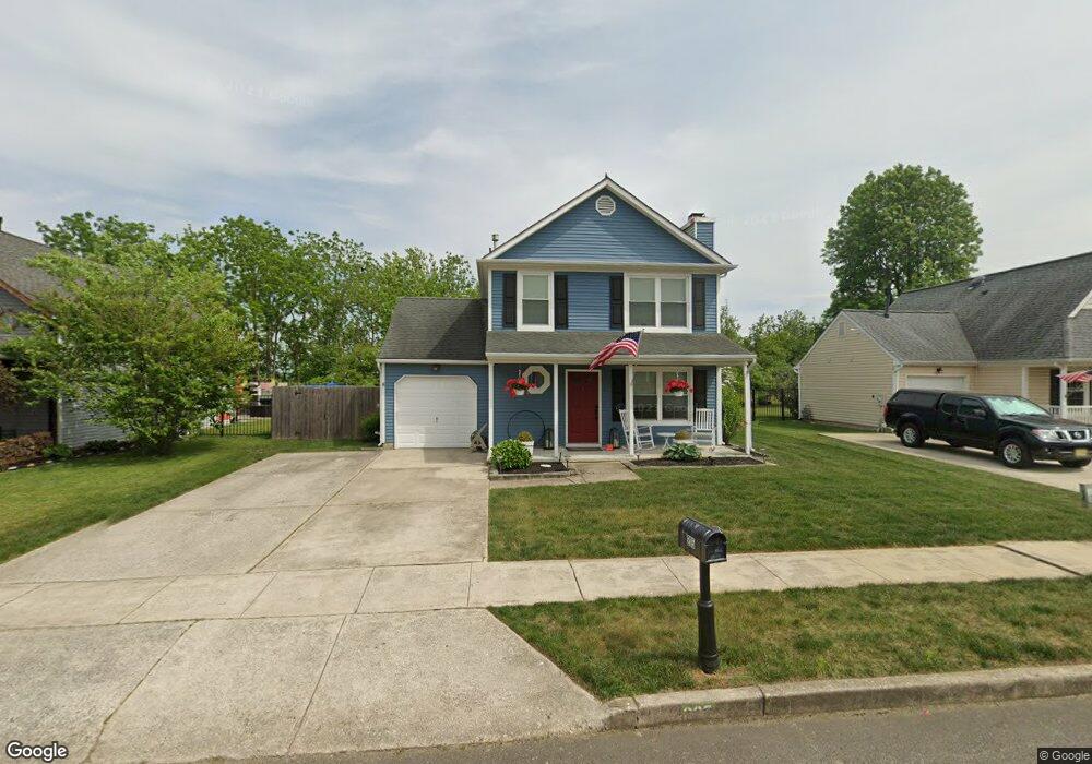
205 Stirrup Rd Swedesboro, NJ 08085
Logan Township NeighborhoodEstimated Value: $336,280 - $367,000
--
Bed
--
Bath
1,232
Sq Ft
$284/Sq Ft
Est. Value
About This Home
This home is located at 205 Stirrup Rd, Swedesboro, NJ 08085 and is currently estimated at $350,320, approximately $284 per square foot. 205 Stirrup Rd is a home located in Gloucester County with nearby schools including Logan Township Elementary School.
Ownership History
Date
Name
Owned For
Owner Type
Purchase Details
Closed on
Mar 31, 2000
Sold by
Dresher Andrew R and Dresher Tami L
Bought by
Scheetz Jill L
Current Estimated Value
Home Financials for this Owner
Home Financials are based on the most recent Mortgage that was taken out on this home.
Original Mortgage
$109,800
Outstanding Balance
$38,077
Interest Rate
8.4%
Mortgage Type
FHA
Estimated Equity
$312,243
Purchase Details
Closed on
Nov 16, 1993
Sold by
Zitzelsberger Michael R
Bought by
Dresher Andrew and Dresher Tami
Home Financials for this Owner
Home Financials are based on the most recent Mortgage that was taken out on this home.
Original Mortgage
$98,000
Interest Rate
6.69%
Mortgage Type
FHA
Create a Home Valuation Report for This Property
The Home Valuation Report is an in-depth analysis detailing your home's value as well as a comparison with similar homes in the area
Home Values in the Area
Average Home Value in this Area
Purchase History
| Date | Buyer | Sale Price | Title Company |
|---|---|---|---|
| Scheetz Jill L | $109,900 | Homestead Title Agency | |
| Dresher Andrew | $98,000 | -- |
Source: Public Records
Mortgage History
| Date | Status | Borrower | Loan Amount |
|---|---|---|---|
| Open | Scheetz Jill L | $109,800 | |
| Previous Owner | Dresher Andrew | $98,000 |
Source: Public Records
Tax History Compared to Growth
Tax History
| Year | Tax Paid | Tax Assessment Tax Assessment Total Assessment is a certain percentage of the fair market value that is determined by local assessors to be the total taxable value of land and additions on the property. | Land | Improvement |
|---|---|---|---|---|
| 2025 | $3,914 | $301,100 | $67,500 | $233,600 |
| 2024 | $3,859 | $301,100 | $67,500 | $233,600 |
| 2023 | $3,859 | $192,000 | $52,500 | $139,500 |
| 2022 | $4,011 | $192,000 | $52,500 | $139,500 |
| 2021 | $3,122 | $192,000 | $52,500 | $139,500 |
| 2020 | $4,176 | $192,000 | $52,500 | $139,500 |
| 2019 | $4,170 | $192,000 | $52,500 | $139,500 |
| 2018 | $4,055 | $192,000 | $52,500 | $139,500 |
| 2017 | $4,297 | $171,400 | $47,500 | $123,900 |
| 2016 | $4,227 | $171,400 | $47,500 | $123,900 |
| 2015 | $3,737 | $171,400 | $47,500 | $123,900 |
| 2014 | $3,623 | $171,400 | $47,500 | $123,900 |
Source: Public Records
Map
Nearby Homes
- 13 Sweet Bay Ln
- 55 Hamilton St
- 364 High Hill Rd
- 111 Peachwood Dr
- 9 Adams St
- 142 Ramona Ln
- 956 Ashburn Way
- 55 Adams St
- 23 Adams St
- 135 Juniper Ln
- 120 Edward Dr
- 66 Stonemill Way
- 9 Brattleboro Rd
- 209 Windsor Dr
- 294 Westbrook Dr
- 229 Westbrook Dr
- 2153 Route 322
- 614 Van Buren Ct
- 114 Saratoga Ln
- 203 Amesbury Blvd
- L: 2.07 Russell Mill Rd
- 00-CHAT Bantry St
- 00-CHAD Bantry St
- 0-StAnd Longleaf Ln
- 0-Augst Longleaf Ln
- 0-Pine Longleaf Ln
- 0-OAK Longleaf Ln
- JEFF-00 Longleaf Ln
- BRAD-00 Longleaf Ln
- JUNI-00 Longleaf Ln
- HARI-00 Longleaf Ln
- CHAT-00 Bantry St
- CHAD-00 Bantry St
- Chad 2 Bantry St
- 0-Chad Bantry St
- 0-Chath Bantry St
- 00-JUNI Longleaf Ln
- 00-JEFF Longleaf Ln
- 00-HARI Longleaf Ln
- 00-BRAD Longleaf Ln