205 Stoneridge Dr Dahlonega, GA 30533
Estimated Value: $317,605 - $377,000
--
Bed
2
Baths
1,645
Sq Ft
$214/Sq Ft
Est. Value
About This Home
This home is located at 205 Stoneridge Dr, Dahlonega, GA 30533 and is currently estimated at $351,651, approximately $213 per square foot. 205 Stoneridge Dr is a home located in Lumpkin County with nearby schools including Lumpkin County High School.
Ownership History
Date
Name
Owned For
Owner Type
Purchase Details
Closed on
Oct 17, 2019
Sold by
Wilkins James L
Bought by
Wilkins Gina S and Davidson Jennifer
Current Estimated Value
Purchase Details
Closed on
Aug 31, 1999
Sold by
Armstrong Junior Ral
Bought by
Wilkins James L
Purchase Details
Closed on
May 28, 1999
Sold by
Proffitt Chris
Bought by
Armstrong Junior Ral
Purchase Details
Closed on
Oct 31, 1996
Sold by
Proffitt Chris
Bought by
Proffitt Chris
Purchase Details
Closed on
Oct 21, 1996
Sold by
Anderson William K
Bought by
Proffitt Chris
Purchase Details
Closed on
Dec 5, 1995
Sold by
Anderson William K
Bought by
Anderson William K
Create a Home Valuation Report for This Property
The Home Valuation Report is an in-depth analysis detailing your home's value as well as a comparison with similar homes in the area
Home Values in the Area
Average Home Value in this Area
Purchase History
| Date | Buyer | Sale Price | Title Company |
|---|---|---|---|
| Wilkins Gina S | -- | -- | |
| Wilkins James L | $139,900 | -- | |
| Armstrong Junior Ral | $20,500 | -- | |
| Proffitt Chris | -- | -- | |
| Proffitt Chris | $16,000 | -- | |
| Anderson William K | -- | -- |
Source: Public Records
Tax History Compared to Growth
Tax History
| Year | Tax Paid | Tax Assessment Tax Assessment Total Assessment is a certain percentage of the fair market value that is determined by local assessors to be the total taxable value of land and additions on the property. | Land | Improvement |
|---|---|---|---|---|
| 2024 | $321 | $104,400 | $10,000 | $94,400 |
| 2023 | $116 | $98,015 | $10,000 | $88,015 |
| 2022 | $183 | $86,232 | $10,000 | $76,232 |
| 2021 | $53 | $73,261 | $10,000 | $63,261 |
| 2020 | $36 | $71,484 | $10,000 | $61,484 |
| 2019 | $37 | $71,484 | $10,000 | $61,484 |
| 2018 | $1,811 | $63,847 | $10,000 | $53,847 |
| 2017 | $0 | $61,252 | $10,000 | $51,252 |
| 2016 | $1,590 | $56,739 | $10,000 | $46,739 |
| 2015 | -- | $56,739 | $10,000 | $46,739 |
| 2014 | -- | $57,295 | $10,000 | $47,295 |
| 2013 | -- | $58,408 | $10,000 | $48,408 |
Source: Public Records
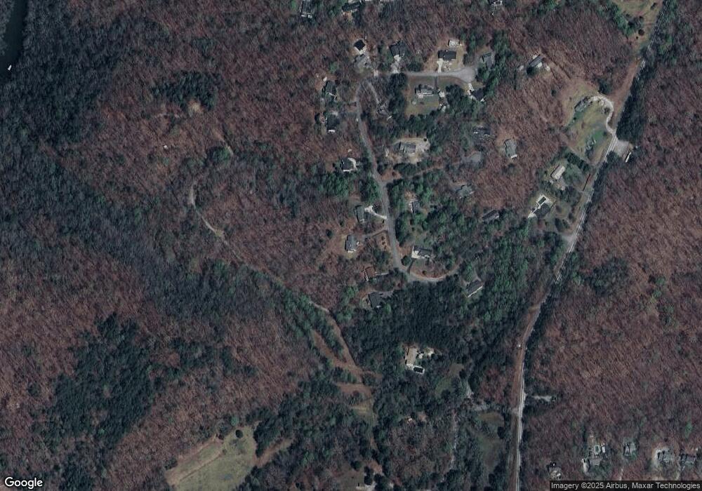
Map
Nearby Homes
- 433 Elliots Ln
- 0 Fox Mountain Rd Unit 7648107
- 0 Fox Mountain Rd Unit 10606548
- 6038 S Chestatee
- 6439 S Chestatee
- 00 Long Branch Rd
- 0 Long Branch Rd Unit 10271720
- 0 Long Branch Rd Unit 10271266
- 0 Long Branch Rd Unit 7357871
- 250 Silas Rd
- 58 Hampton Forest Ct
- 5195 S Chestatee
- 0 Eagle Rest Rd Unit 13519388
- 11 Lake Trail
- 307 Eagle Overlook Dr
- 0 Robinson Rd Unit 10597950
- 0 Robinson Rd Unit 7643549
- 119 Hampton Forest Place
- 187 Angers Ct
- 33 Lion Ct
- 215 Stoneridge Dr
- 171 Stoneridge Dr
- 155 Stoneridge Dr
- 162 Stone Ridge Dr
- 0 Stone Ridge Dr Unit 3266971
- 0 Stone Ridge Dr Unit 3221230
- 0 Stone Ridge Dr Unit 3134097
- 255 Stoneridge Dr
- 162 Stoneridge Dr
- 224 Stoneridge Dr
- 0 Stoneridge Place Unit 8891815
- 0 Stoneridge Place Unit 8010148
- 276 Stoneridge Dr
- 311 Stoneridge Dr
- 107 Stoneridge Dr
- 330 Stoneridge Dr
- 107 Colonial Dr
- 58 Stoneridge Place Unit 24
- 48 Stoneridge Dr
- 319 Stoneridge Dr