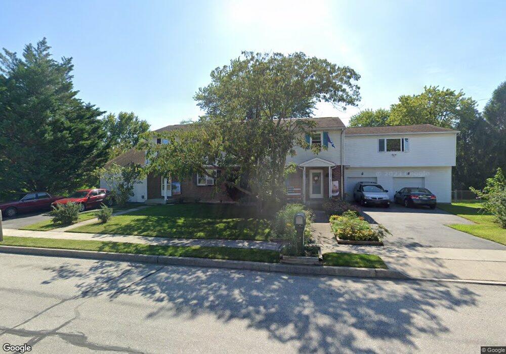
205 Stuart Ave Hanover, PA 17331
Estimated Value: $242,000 - $327,000
4
Beds
2
Baths
1,880
Sq Ft
$146/Sq Ft
Est. Value
About This Home
This home is located at 205 Stuart Ave, Hanover, PA 17331 and is currently estimated at $274,398, approximately $145 per square foot. 205 Stuart Ave is a home located in York County with nearby schools including South Western Senior High School, St Joseph Catholic School, and Delone Catholic High School.
Ownership History
Date
Name
Owned For
Owner Type
Purchase Details
Closed on
Oct 30, 2002
Sold by
Stauffer Deborah S
Bought by
Slaybaugh Joanne D
Current Estimated Value
Purchase Details
Closed on
May 8, 2002
Sold by
Stauffer Randall E and Stauffer Deborah L
Bought by
Stauffer Deborah L
Home Financials for this Owner
Home Financials are based on the most recent Mortgage that was taken out on this home.
Original Mortgage
$47,000
Interest Rate
6.75%
Create a Home Valuation Report for This Property
The Home Valuation Report is an in-depth analysis detailing your home's value as well as a comparison with similar homes in the area
Home Values in the Area
Average Home Value in this Area
Purchase History
| Date | Buyer | Sale Price | Title Company |
|---|---|---|---|
| Slaybaugh Joanne D | $83,000 | -- | |
| Stauffer Deborah L | -- | -- |
Source: Public Records
Mortgage History
| Date | Status | Borrower | Loan Amount |
|---|---|---|---|
| Previous Owner | Stauffer Deborah L | $47,000 |
Source: Public Records
Tax History Compared to Growth
Tax History
| Year | Tax Paid | Tax Assessment Tax Assessment Total Assessment is a certain percentage of the fair market value that is determined by local assessors to be the total taxable value of land and additions on the property. | Land | Improvement |
|---|---|---|---|---|
| 2025 | $4,092 | $121,410 | $29,360 | $92,050 |
| 2024 | $4,092 | $121,410 | $29,360 | $92,050 |
| 2023 | $4,019 | $121,410 | $29,360 | $92,050 |
| 2022 | $3,932 | $121,410 | $29,360 | $92,050 |
| 2021 | $3,718 | $121,410 | $29,360 | $92,050 |
| 2020 | $3,718 | $121,410 | $29,360 | $92,050 |
| 2019 | $3,646 | $121,410 | $29,360 | $92,050 |
| 2018 | $3,598 | $121,410 | $29,360 | $92,050 |
| 2017 | $3,515 | $121,410 | $29,360 | $92,050 |
| 2016 | $0 | $121,410 | $29,360 | $92,050 |
| 2015 | -- | $121,410 | $29,360 | $92,050 |
| 2014 | -- | $121,410 | $29,360 | $92,050 |
Source: Public Records
Map
Nearby Homes
- 659 Hartman Ave
- 101 Park Heights Blvd
- 82 Ledger Dr
- 802 W Middle St
- 522 Frederick St
- 208 S Forney Ave
- 121 Flint Dr
- 65 Eagle Ln
- 97 Flint Dr
- 350 Manor St
- 30 Sherman St
- 13 N Blettner Ave
- 399 R Beck Mill Rd
- 9 2nd Ave Unit 308
- 326 Park Heights Blvd
- 210 Centennial Ave
- 324 Centennial Ave
- 105 Baugher Dr
- 106 Orchard Ln Unit 4
- 206 Ruth Ave