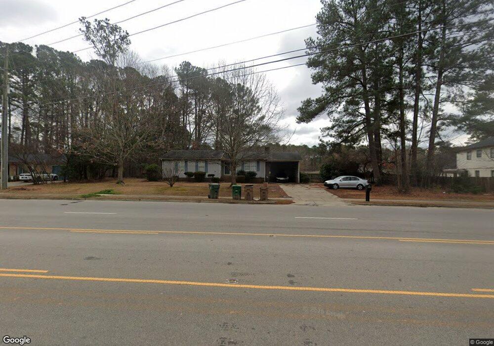
205 SW Maynard Rd Cary, NC 27511
South Cary NeighborhoodEstimated Value: $369,065 - $469,000
3
Beds
2
Baths
1,700
Sq Ft
$244/Sq Ft
Est. Value
About This Home
This home is located at 205 SW Maynard Rd, Cary, NC 27511 and is currently estimated at $414,516, approximately $243 per square foot. 205 SW Maynard Rd is a home located in Wake County with nearby schools including Briarcliff Elementary School, East Cary Middle School, and Cary High School.
Ownership History
Date
Name
Owned For
Owner Type
Purchase Details
Closed on
Mar 31, 2014
Sold by
Carter Vivian T
Bought by
Weathersbee Daryl R and Weathersbee Brittany C
Current Estimated Value
Home Financials for this Owner
Home Financials are based on the most recent Mortgage that was taken out on this home.
Original Mortgage
$87,875
Outstanding Balance
$66,952
Interest Rate
4.4%
Mortgage Type
New Conventional
Estimated Equity
$347,564
Create a Home Valuation Report for This Property
The Home Valuation Report is an in-depth analysis detailing your home's value as well as a comparison with similar homes in the area
Home Values in the Area
Average Home Value in this Area
Purchase History
| Date | Buyer | Sale Price | Title Company |
|---|---|---|---|
| Weathersbee Daryl R | $141,500 | None Available |
Source: Public Records
Mortgage History
| Date | Status | Borrower | Loan Amount |
|---|---|---|---|
| Open | Weathersbee Daryl R | $87,875 |
Source: Public Records
Tax History Compared to Growth
Tax History
| Year | Tax Paid | Tax Assessment Tax Assessment Total Assessment is a certain percentage of the fair market value that is determined by local assessors to be the total taxable value of land and additions on the property. | Land | Improvement |
|---|---|---|---|---|
| 2025 | $2,903 | $336,337 | $170,000 | $166,337 |
| 2024 | $2,840 | $336,337 | $170,000 | $166,337 |
| 2023 | $2,265 | $224,061 | $96,000 | $128,061 |
| 2022 | $2,181 | $224,061 | $96,000 | $128,061 |
| 2021 | $2,137 | $224,061 | $96,000 | $128,061 |
| 2020 | $2,149 | $224,061 | $96,000 | $128,061 |
| 2019 | $1,794 | $165,667 | $67,500 | $98,167 |
| 2018 | $1,684 | $165,667 | $67,500 | $98,167 |
| 2017 | $1,619 | $165,667 | $67,500 | $98,167 |
| 2016 | $1,595 | $165,667 | $67,500 | $98,167 |
| 2015 | $1,496 | $149,974 | $51,000 | $98,974 |
| 2014 | -- | $149,974 | $51,000 | $98,974 |
Source: Public Records
Map
Nearby Homes
- 220 Gordon St
- 1004 Pond St
- 915 Ball Field Alley Unit 305
- 915 Ball Field Alley Unit 102
- 915 Ball Field Alley Unit 104
- 915 Ball Field Alley Unit 101
- 906 Griffis St
- 103 Kylie Savannah Ct
- 151 Lake Pine Dr Unit 1713B
- 111 E Cornwall Rd
- 128 Pickett Ln
- 511 Normandy St
- 210 Twin Oaks Place
- 124 Twin Oaks Place
- 531 W Cornwall Rd
- 102 Climbing Ivy Ct
- 105 Brush Stream Dr
- 135 Drummond Place Unit 7C
- 114 Drummond Place
- 104 Eagle Ct