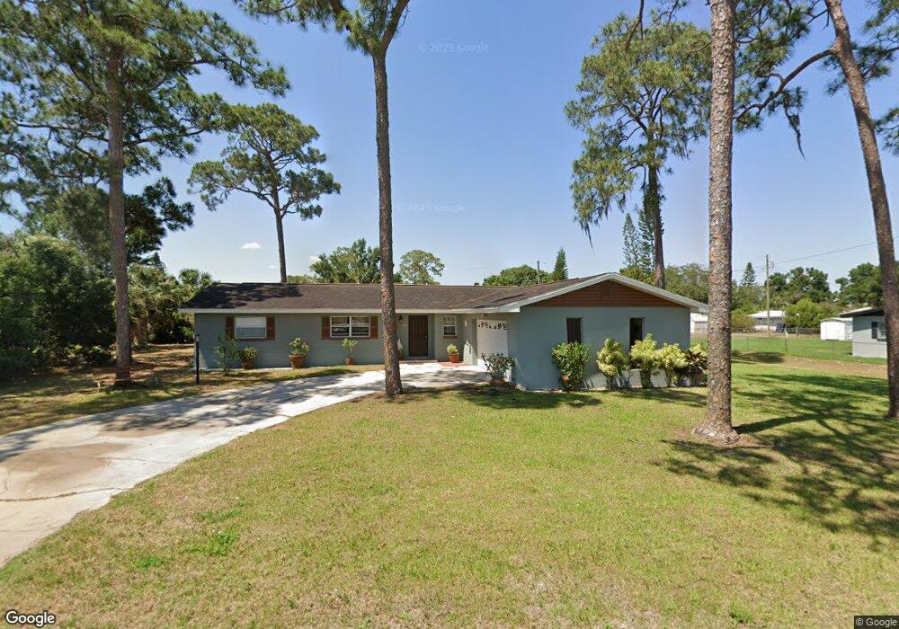
205 Swallow Ave Sebring, FL 33870
Sebring Hills NeighborhoodEstimated Value: $242,697 - $277,000
3
Beds
3
Baths
1,712
Sq Ft
$154/Sq Ft
Est. Value
About This Home
This home is located at 205 Swallow Ave, Sebring, FL 33870 and is currently estimated at $263,424, approximately $153 per square foot. 205 Swallow Ave is a home located in Highlands County with nearby schools including Sun 'N Lake Elementary School, Sebring High School, and Hill-Gustat Middle School.
Ownership History
Date
Name
Owned For
Owner Type
Purchase Details
Closed on
Apr 25, 2024
Sold by
Tello Hoover James and Tello Mireya Elena
Bought by
Tello Hoover James and Tello Mireya Elena
Current Estimated Value
Purchase Details
Closed on
Jun 15, 2006
Sold by
Gilliam Robert L and Gilliam Kathleen D
Bought by
Tello Hoover J and Tello Mireya
Home Financials for this Owner
Home Financials are based on the most recent Mortgage that was taken out on this home.
Original Mortgage
$144,000
Interest Rate
6.02%
Mortgage Type
Purchase Money Mortgage
Create a Home Valuation Report for This Property
The Home Valuation Report is an in-depth analysis detailing your home's value as well as a comparison with similar homes in the area
Home Values in the Area
Average Home Value in this Area
Purchase History
| Date | Buyer | Sale Price | Title Company |
|---|---|---|---|
| Tello Hoover James | $100 | None Listed On Document | |
| Tello Hoover James | $100 | None Listed On Document | |
| Tello Hoover J | $180,000 | Security First Title Partner |
Source: Public Records
Mortgage History
| Date | Status | Borrower | Loan Amount |
|---|---|---|---|
| Previous Owner | Tello Hoover J | $144,000 |
Source: Public Records
Tax History
| Year | Tax Paid | Tax Assessment Tax Assessment Total Assessment is a certain percentage of the fair market value that is determined by local assessors to be the total taxable value of land and additions on the property. | Land | Improvement |
|---|---|---|---|---|
| 2025 | $895 | $96,219 | -- | -- |
| 2024 | $848 | $77,331 | -- | -- |
| 2023 | $848 | $75,079 | $0 | $0 |
| 2022 | $833 | $72,892 | $0 | $0 |
| 2021 | $834 | $70,769 | $0 | $0 |
| 2020 | $793 | $69,792 | $0 | $0 |
| 2019 | $786 | $68,223 | $0 | $0 |
| 2018 | $770 | $65,261 | $0 | $0 |
| 2017 | $704 | $63,919 | $0 | $0 |
| 2016 | $712 | $62,604 | $0 | $0 |
| 2015 | $675 | $62,169 | $0 | $0 |
| 2014 | $675 | $0 | $0 | $0 |
Source: Public Records
Map
Nearby Homes
- 220 Sparrow Ave
- 226 Whatley Blvd
- 131 Sparrow Ave
- 209 Loon Ave
- 302 Swallow Ave
- 110 Swallow Ave
- 303 & 305 Robin Ave
- 436 Quail Ave
- 310 Wren Ave
- 226 Lark Ave
- 229 Whatley Blvd
- 239 Jay Ave
- 122 Sparrow Ave
- 404 N Heron St
- 400 Nightingale Ave
- 217 Eagle Ave
- 324 Quail Ave
- 0 Nightingale Ave
- 506 S Egret St
- 455 Nightingale Ave
- 209 Swallow Ave
- 203 Swallow Ave
- 204 Whatley Blvd
- 206 Whatley Blvd
- 206 Swallow Ave
- 202 Whatley Blvd
- 208 Whatley Blvd
- 208 Swallow Ave
- 201 Swallow Ave
- 204 Swallow Ave
- 211 Swallow Ave
- 210 Swallow Ave
- 200 Whatley Blvd
- 210 Whatley Blvd
- 202 Swallow Ave
- 212 Swallow Ave
- 213 Swallow Ave
- 212 Whatley Blvd
- 205 Sparrow Ave
- 207 Sparrow Ave
Your Personal Tour Guide
Ask me questions while you tour the home.