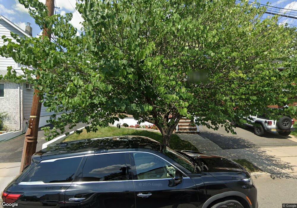
205 Thomas Ave Lyndhurst, NJ 07071
Estimated Value: $545,000 - $605,000
Studio
--
Bath
1,562
Sq Ft
$370/Sq Ft
Est. Value
About This Home
This home is located at 205 Thomas Ave, Lyndhurst, NJ 07071 and is currently estimated at $577,638, approximately $369 per square foot. 205 Thomas Ave is a home located in Bergen County with nearby schools including Lyndhurst High School and Abundant Life Academy.
Ownership History
Date
Name
Owned For
Owner Type
Purchase Details
Closed on
Jan 12, 2004
Sold by
Santorini Rosemary Franchina
Bought by
Spagnola Anthony and Spagnola Audrey
Current Estimated Value
Home Financials for this Owner
Home Financials are based on the most recent Mortgage that was taken out on this home.
Original Mortgage
$237,025
Outstanding Balance
$110,232
Interest Rate
5.82%
Estimated Equity
$467,406
Create a Home Valuation Report for This Property
The Home Valuation Report is an in-depth analysis detailing your home's value as well as a comparison with similar homes in the area
Home Values in the Area
Average Home Value in this Area
Purchase History
| Date | Buyer | Sale Price | Title Company |
|---|---|---|---|
| Spagnola Anthony | $249,500 | -- |
Source: Public Records
Mortgage History
| Date | Status | Borrower | Loan Amount |
|---|---|---|---|
| Open | Spagnola Anthony | $237,025 |
Source: Public Records
Tax History
| Year | Tax Paid | Tax Assessment Tax Assessment Total Assessment is a certain percentage of the fair market value that is determined by local assessors to be the total taxable value of land and additions on the property. | Land | Improvement |
|---|---|---|---|---|
| 2025 | $9,589 | $465,100 | $209,300 | $255,800 |
| 2024 | $9,132 | $459,700 | $206,800 | $252,900 |
| 2023 | $7,835 | $449,400 | $199,300 | $250,100 |
| 2022 | $7,835 | $247,000 | $138,200 | $108,800 |
| 2021 | $7,291 | $247,000 | $138,200 | $108,800 |
| 2020 | $7,346 | $247,000 | $138,200 | $108,800 |
| 2019 | $7,291 | $247,000 | $138,200 | $108,800 |
| 2018 | $7,351 | $247,000 | $138,200 | $108,800 |
| 2017 | $7,165 | $247,000 | $138,200 | $108,800 |
| 2016 | $7,005 | $247,000 | $138,200 | $108,800 |
| 2015 | $6,785 | $247,000 | $138,200 | $108,800 |
| 2014 | $6,696 | $247,000 | $138,200 | $108,800 |
Source: Public Records
Map
Nearby Homes
- 712 Meyer Ave
- 715 Stuyvesant Ave
- 715 Tyler St
- 825 Riverside Ave Unit 204
- 230 New St
- 651 Riverside Ave Unit A7
- 521 Weart Ave
- 14 River Rd Unit F
- 609 Chase Ave
- 416 Kingsland Ave
- 103 River Rd Unit A1
- 25 River Rd Unit B11
- 471 Harding Ave
- 824 Main St Unit j
- 824 Main St
- 105 Jauncey Ave
- 1 River Rd Unit 3G
- 138 Fern Ave
- 433 Chase Ave
- 86 Roosevelt Ave
- 209 Thomas Ave
- 211 Thomas Ave
- 211 Thomas Ave Unit 2nd floor
- 201 Thomas Ave Unit 203
- 201 Thomas Ave Unit 1
- 214 Paul St
- 212 Paul St
- 212 Paul St Unit 2
- 220 Paul St
- 758 Riverside Ave
- 208 Paul St
- 731 Meyer Ave
- 204 Paul St
- 733 Meyer Ave
- 733 Meyer Ave Unit 2
- 725 Meyer Ave
- 725 Meyer Ave Unit 2
- 719 Meyer Ave
- 719 Meyer Ave Unit 2
- 767 Riverside Ave
Your Personal Tour Guide
Ask me questions while you tour the home.