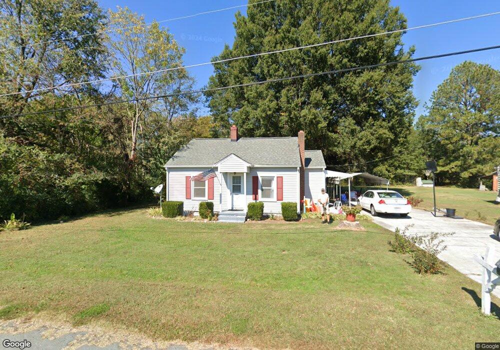
205 Thompson Rd Graham, NC 27253
Estimated Value: $188,000 - $203,110
2
Beds
2
Baths
896
Sq Ft
$220/Sq Ft
Est. Value
About This Home
This home is located at 205 Thompson Rd, Graham, NC 27253 and is currently estimated at $197,528, approximately $220 per square foot. 205 Thompson Rd is a home located in Alamance County with nearby schools including South Graham Elementary School, Southern Alamance Middle School, and Southern Alamance High School.
Ownership History
Date
Name
Owned For
Owner Type
Purchase Details
Closed on
Mar 11, 2000
Sold by
Myers Edward Scott
Bought by
Farrar Bryan K
Current Estimated Value
Home Financials for this Owner
Home Financials are based on the most recent Mortgage that was taken out on this home.
Original Mortgage
$79,900
Outstanding Balance
$27,079
Interest Rate
8.29%
Estimated Equity
$170,449
Create a Home Valuation Report for This Property
The Home Valuation Report is an in-depth analysis detailing your home's value as well as a comparison with similar homes in the area
Home Values in the Area
Average Home Value in this Area
Purchase History
| Date | Buyer | Sale Price | Title Company |
|---|---|---|---|
| Farrar Bryan K | $80,000 | -- |
Source: Public Records
Mortgage History
| Date | Status | Borrower | Loan Amount |
|---|---|---|---|
| Open | Farrar Bryan K | $79,900 |
Source: Public Records
Tax History Compared to Growth
Tax History
| Year | Tax Paid | Tax Assessment Tax Assessment Total Assessment is a certain percentage of the fair market value that is determined by local assessors to be the total taxable value of land and additions on the property. | Land | Improvement |
|---|---|---|---|---|
| 2025 | $747 | $134,779 | $30,000 | $104,779 |
| 2024 | $713 | $134,779 | $30,000 | $104,779 |
| 2023 | $660 | $134,779 | $30,000 | $104,779 |
| 2022 | $496 | $67,396 | $25,000 | $42,396 |
| 2021 | $503 | $67,396 | $25,000 | $42,396 |
| 2020 | $510 | $67,396 | $25,000 | $42,396 |
| 2019 | $512 | $67,396 | $25,000 | $42,396 |
| 2018 | $0 | $67,396 | $25,000 | $42,396 |
| 2017 | $452 | $67,396 | $25,000 | $42,396 |
| 2016 | $457 | $68,218 | $25,000 | $43,218 |
| 2015 | $455 | $68,218 | $25,000 | $43,218 |
| 2014 | $423 | $68,631 | $25,000 | $43,631 |
Source: Public Records
Map
Nearby Homes
- 1787 Parham Dr
- 511 Valentine Ct
- 511 Valentine Ct Unit Lot 106
- 1798 Parham Dr
- 519 Valentine Ct
- 512 Valentine Ct Unit lot 92
- 531 Valentine Ct
- 535 Valentine Ct
- 535 Valentine Ct Unit Lot 100
- 1707 Wedgewood Dr
- 1811 Parham Dr
- 1811 Parham Dr Unit 89
- 207 Forest Dr
- 1819 Parham Dr Unit Lot 87
- 1819 Parham Dr
- Lot 54 Forest Dr
- 1823 Parham Dr
- 1823 Parham Dr Unit Lot 86
- 1619 Broadway Dr
- Somerset 3 Plan at Valor Ridge
- 201 Thompson Rd
- 125 Thompson Rd
- 1603 Parham Dr
- 39 Thompson Rd
- 1517 S Main St
- 111 Thompson Rd
- 111 Thompson Rd
- 1515 S Main St
- 1611 Parham Dr
- 1571 S Main St
- 1563 S Main St
- 1557 S Main St
- 205 W Shannon Dr
- 1511 S Main St
- 0 Thompson Rd Tract 3
- 0 Thompson Rd Tract 2
- 247 Thompson Rd
- 1611 S Main St
- 1701 Parham Dr
- 202 W Shannon Dr