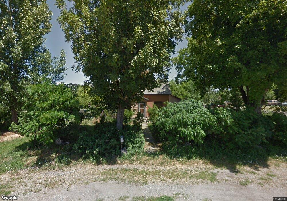
205 W 100 S Smithfield, UT 84335
Estimated Value: $417,900 - $444,000
4
Beds
2
Baths
2,347
Sq Ft
$184/Sq Ft
Est. Value
About This Home
This home is located at 205 W 100 S, Smithfield, UT 84335 and is currently estimated at $431,225, approximately $183 per square foot. 205 W 100 S is a home located in Cache County with nearby schools including Summit School, North Cache Middle School, and White Pine Middle School.
Ownership History
Date
Name
Owned For
Owner Type
Purchase Details
Closed on
Mar 6, 2025
Sold by
Swinford Thomas J and Swinford Beth Anne
Bought by
Thomas And Beth Swinford Family Trust and Swinford
Current Estimated Value
Purchase Details
Closed on
Jan 9, 2018
Sold by
Odland Kjetil and Odland Dinah
Bought by
Swinford Beth Anne and Swinford Thomas J
Home Financials for this Owner
Home Financials are based on the most recent Mortgage that was taken out on this home.
Original Mortgage
$201,933
Interest Rate
3.92%
Mortgage Type
VA
Purchase Details
Closed on
Feb 1, 2017
Sold by
Bradbury William E and Bradbury Kelly K
Bought by
Odland Kjetil and Odland Dinah
Home Financials for this Owner
Home Financials are based on the most recent Mortgage that was taken out on this home.
Original Mortgage
$198,242
Interest Rate
3.62%
Mortgage Type
FHA
Create a Home Valuation Report for This Property
The Home Valuation Report is an in-depth analysis detailing your home's value as well as a comparison with similar homes in the area
Home Values in the Area
Average Home Value in this Area
Purchase History
| Date | Buyer | Sale Price | Title Company |
|---|---|---|---|
| Thomas And Beth Swinford Family Trust | -- | None Listed On Document | |
| Swinford Beth Anne | -- | -- | |
| Odland Kjetil | -- | Pinnacle Title |
Source: Public Records
Mortgage History
| Date | Status | Borrower | Loan Amount |
|---|---|---|---|
| Previous Owner | Swinford Beth Anne | $201,933 | |
| Previous Owner | Odland Kjetil | $198,242 |
Source: Public Records
Tax History
| Year | Tax Paid | Tax Assessment Tax Assessment Total Assessment is a certain percentage of the fair market value that is determined by local assessors to be the total taxable value of land and additions on the property. | Land | Improvement |
|---|---|---|---|---|
| 2025 | $168 | $225,515 | $0 | $0 |
| 2024 | $1,791 | $224,925 | $0 | $0 |
| 2023 | $1,893 | $224,800 | $0 | $0 |
| 2022 | $1,857 | $216,980 | $0 | $0 |
| 2021 | $1,691 | $301,795 | $70,000 | $231,795 |
| 2020 | $1,491 | $248,304 | $70,000 | $178,304 |
| 2019 | $1,407 | $223,304 | $45,000 | $178,304 |
| 2018 | $1,330 | $204,200 | $45,000 | $159,200 |
| 2017 | $1,318 | $110,550 | $0 | $0 |
| 2016 | $1,341 | $64,515 | $0 | $0 |
| 2015 | $786 | $64,515 | $0 | $0 |
| 2014 | $771 | $64,515 | $0 | $0 |
| 2013 | -- | $64,515 | $0 | $0 |
Source: Public Records
Map
Nearby Homes
Your Personal Tour Guide
Ask me questions while you tour the home.