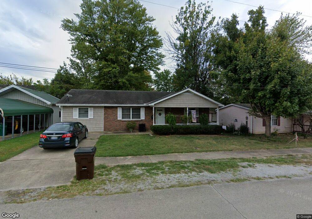
205 W 2nd St Georgetown, OH 45121
Estimated Value: $155,633 - $189,000
3
Beds
1
Bath
1,296
Sq Ft
$130/Sq Ft
Est. Value
About This Home
This home is located at 205 W 2nd St, Georgetown, OH 45121 and is currently estimated at $168,158, approximately $129 per square foot. 205 W 2nd St is a home located in Brown County with nearby schools including Georgetown Elementary School and Georgetown Jr/Sr High School.
Ownership History
Date
Name
Owned For
Owner Type
Purchase Details
Closed on
Oct 11, 2022
Sold by
Andrews John L
Bought by
Pack Jane A
Current Estimated Value
Home Financials for this Owner
Home Financials are based on the most recent Mortgage that was taken out on this home.
Original Mortgage
$55,352
Outstanding Balance
$53,121
Interest Rate
5.66%
Mortgage Type
FHA
Estimated Equity
$115,037
Purchase Details
Closed on
Sep 3, 2004
Sold by
Highlander Brent F and Highlander Sharon F
Bought by
Andrews John L
Home Financials for this Owner
Home Financials are based on the most recent Mortgage that was taken out on this home.
Original Mortgage
$60,000
Interest Rate
5.95%
Mortgage Type
Unknown
Create a Home Valuation Report for This Property
The Home Valuation Report is an in-depth analysis detailing your home's value as well as a comparison with similar homes in the area
Home Values in the Area
Average Home Value in this Area
Purchase History
| Date | Buyer | Sale Price | Title Company |
|---|---|---|---|
| Pack Jane A | $64,000 | -- | |
| Pack Jane A | $64,000 | None Listed On Document | |
| Andrews John L | $70,000 | -- |
Source: Public Records
Mortgage History
| Date | Status | Borrower | Loan Amount |
|---|---|---|---|
| Open | Pack Jane A | $55,352 | |
| Previous Owner | Andrews John L | $60,000 |
Source: Public Records
Tax History
| Year | Tax Paid | Tax Assessment Tax Assessment Total Assessment is a certain percentage of the fair market value that is determined by local assessors to be the total taxable value of land and additions on the property. | Land | Improvement |
|---|---|---|---|---|
| 2024 | $1,338 | $36,900 | $2,710 | $34,190 |
| 2023 | $1,338 | $30,220 | $2,290 | $27,930 |
| 2022 | $1,169 | $29,660 | $1,730 | $27,930 |
| 2021 | $1,159 | $29,660 | $1,730 | $27,930 |
| 2020 | $1,025 | $24,730 | $1,450 | $23,280 |
| 2019 | $1,018 | $24,730 | $1,450 | $23,280 |
| 2018 | $1,011 | $24,730 | $1,450 | $23,280 |
| 2017 | $806 | $23,260 | $1,600 | $21,660 |
| 2016 | $806 | $23,260 | $1,600 | $21,660 |
| 2015 | $845 | $23,260 | $1,600 | $21,660 |
| 2014 | $845 | $23,110 | $1,450 | $21,660 |
| 2013 | $843 | $23,110 | $1,450 | $21,660 |
Source: Public Records
Map
Nearby Homes
- 505 S Water St
- 510 W State St
- 405 N Main St
- 406 E North St
- 399 Elmwood Ct
- 60 New St
- 508 Mount Orab Pike
- 666 E State St
- 155 Free Soil Rd
- 0 St Rt 221 & Footbridge Unit 1826509
- 708 E State St
- 20 Heritage Hill Dr
- 25 Douglas Ln
- 427 Kenwood Ave
- 1 N Kenwood Ave
- 2 N Kenwood Ave
- 175 Douglas Cir
- 38 Dell Acres Dr
- 470 Free Soil Rd
- 7029 Free Soil Rd
Your Personal Tour Guide
Ask me questions while you tour the home.