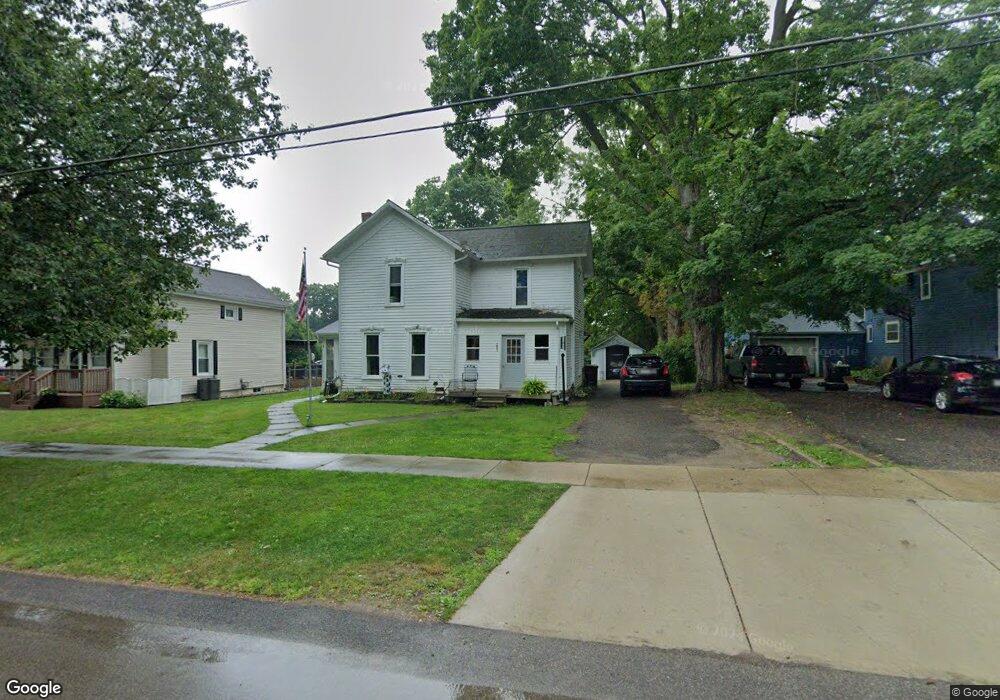
205 W Center St Concord, MI 49237
Estimated Value: $150,110 - $207,000
--
Bed
--
Bath
1,569
Sq Ft
$113/Sq Ft
Est. Value
About This Home
This home is located at 205 W Center St, Concord, MI 49237 and is currently estimated at $177,528, approximately $113 per square foot. 205 W Center St is a home with nearby schools including Concord Elementary School, Concord Middle School, and Concord High School.
Ownership History
Date
Name
Owned For
Owner Type
Purchase Details
Closed on
Aug 14, 2012
Sold by
Luce Sherri A and Lovitt Michael D
Bought by
Smith Daniel J
Current Estimated Value
Home Financials for this Owner
Home Financials are based on the most recent Mortgage that was taken out on this home.
Original Mortgage
$51,300
Outstanding Balance
$7,397
Interest Rate
1.9%
Mortgage Type
Adjustable Rate Mortgage/ARM
Estimated Equity
$170,131
Create a Home Valuation Report for This Property
The Home Valuation Report is an in-depth analysis detailing your home's value as well as a comparison with similar homes in the area
Home Values in the Area
Average Home Value in this Area
Purchase History
| Date | Buyer | Sale Price | Title Company |
|---|---|---|---|
| Smith Daniel J | $57,000 | Midstate Title Agency Of Sou |
Source: Public Records
Mortgage History
| Date | Status | Borrower | Loan Amount |
|---|---|---|---|
| Open | Smith Daniel J | $51,300 |
Source: Public Records
Tax History Compared to Growth
Tax History
| Year | Tax Paid | Tax Assessment Tax Assessment Total Assessment is a certain percentage of the fair market value that is determined by local assessors to be the total taxable value of land and additions on the property. | Land | Improvement |
|---|---|---|---|---|
| 2025 | $1,188 | $63,300 | $63,300 | $0 |
| 2024 | $918 | $61,000 | $61,000 | $0 |
| 2023 | $879 | $55,300 | $55,300 | $0 |
| 2022 | $1,551 | $54,200 | $54,200 | $0 |
| 2021 | $1,526 | $46,100 | $46,100 | $0 |
| 2020 | $1,510 | $40,700 | $0 | $0 |
| 2019 | $1,474 | $39,000 | $0 | $0 |
| 2018 | $998 | $37,300 | $0 | $0 |
| 2017 | $885 | $34,200 | $0 | $0 |
| 2016 | $312 | $32,250 | $32,250 | $0 |
| 2015 | -- | $27,900 | $27,900 | $0 |
| 2014 | -- | $27,300 | $0 | $0 |
| 2013 | -- | $27,300 | $27,300 | $0 |
Source: Public Records
Map
Nearby Homes
- 0 River Bend Drive Lot #11
- 0 River Bend Drive Lot #10
- 0 River Bend Drive Lot #9
- 0 River Bend Drive Lot #5
- 0 River Bend Drive Lot #4
- 0 River Bend Drive Lot #3
- 228 W Center St
- 110 Spring St
- 229 S Concord St
- 301 Hanover St
- 213 Railroad St
- 519 Hanover St
- 516 Cecil Dr
- 731 Sears Rd
- 5354 Albion Rd
- 0 Albion Rd
- 0 River Bend Drive Lot #1
- 0 River Bend Drive Lot #2
- 7210 Pulaski Rd Rd
- 636 Swains Lake Dr
- 201 W Center St
- 209 W Center St
- 117 W Center St
- 215 W Center St
- 351 Po Box
- 214 W Center St
- 120 W Center St
- 216 W Center St
- 113 W Center St
- 119 Maple St
- 0 Whiting Dr Unit 201800916
- 0 Whiting Dr Unit 55021083734
- 0 Whiting Dr Unit 21083734
- 114 Maple St
- 224 W Center St
- 115 Maple St
- 212 Keefer St
- 206 S Main St
- 229 W Center St
- 202 S Main St