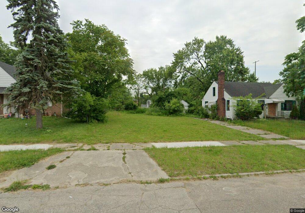
205 W Jamieson St Flint, MI 48505
King Avenue Plus NeighborhoodEstimated Value: $50,000
3
Beds
2
Baths
1,514
Sq Ft
$33/Sq Ft
Est. Value
About This Home
This home is located at 205 W Jamieson St, Flint, MI 48505 and is currently estimated at $50,000, approximately $33 per square foot. 205 W Jamieson St is a home located in Genesee County with nearby schools including Brownell STEM Academy, Greater Heights Academy, and Eagle's Nest Academy.
Ownership History
Date
Name
Owned For
Owner Type
Purchase Details
Closed on
Jun 18, 2025
Sold by
Genesee County Land Bank Authority
Bought by
Gispert Coral Valdes
Current Estimated Value
Purchase Details
Closed on
Dec 21, 2011
Sold by
Genesee County Treasurer
Bought by
Genesee County Land Bank
Purchase Details
Closed on
Jun 8, 2010
Sold by
Creative Properties
Bought by
Marie Linet Pierre
Purchase Details
Closed on
Nov 21, 2008
Sold by
Kildee Daniel T and Genesee County Treasurer
Bought by
Creative Properties
Purchase Details
Closed on
Jul 7, 2005
Sold by
Edwards Jimmy
Bought by
Grant Donald E
Create a Home Valuation Report for This Property
The Home Valuation Report is an in-depth analysis detailing your home's value as well as a comparison with similar homes in the area
Home Values in the Area
Average Home Value in this Area
Purchase History
| Date | Buyer | Sale Price | Title Company |
|---|---|---|---|
| Gispert Coral Valdes | $15,000 | None Listed On Document | |
| Genesee County Land Bank | -- | None Available | |
| Marie Linet Pierre | $950 | None Available | |
| Creative Properties | $1,100 | None Available | |
| Grant Donald E | $4,500 | -- |
Source: Public Records
Tax History Compared to Growth
Tax History
| Year | Tax Paid | Tax Assessment Tax Assessment Total Assessment is a certain percentage of the fair market value that is determined by local assessors to be the total taxable value of land and additions on the property. | Land | Improvement |
|---|---|---|---|---|
| 2025 | -- | $0 | $0 | $0 |
| 2024 | -- | $0 | $0 | $0 |
| 2023 | -- | $0 | $0 | $0 |
| 2022 | $0 | $0 | $0 | $0 |
| 2021 | $0 | $0 | $0 | $0 |
| 2020 | $0 | $0 | $0 | $0 |
| 2019 | $0 | $0 | $0 | $0 |
| 2018 | $0 | $0 | $0 | $0 |
| 2017 | $0 | $0 | $0 | $0 |
| 2016 | $0 | $0 | $0 | $0 |
| 2015 | -- | $0 | $0 | $0 |
| 2014 | -- | $0 | $0 | $0 |
| 2012 | -- | $0 | $0 | $0 |
Source: Public Records
Map
Nearby Homes
- 200 W Mcclellan St
- 325 W Dewey St
- 2913 Martin Luther King Ave
- 2913
- 311 W Genesee St
- 409 W Genesee St
- 218 E Jackson Ave
- 115 W Baker St
- 3312 Buick St
- 3418 Keyes St
- 3002 N Chevrolet Ave
- 3810 Marvin St
- 2718 N Chevrolet Ave
- 506 Green St
- 3002 Proctor St
- 3513 Milbourne Ave
- 3802 Milbourne Ave
- 638 E Pasadena Ave
- 313 Edwin Ave
- 4006 Donnelly St
- 201 W Jamieson St
- 209 W Jamieson St
- 213 W Jamieson St
- 204 W Mcclellan St
- 208 W Mcclellan St
- 132 W Mcclellan St
- 212 W Mcclellan St
- 129 W Jamieson St
- 217 W Jamieson St
- 206 W Jamieson St
- 200 W Jamieson St
- 208 W Jamieson St
- 128 W Mcclellan St
- 216 W Mcclellan St
- 212 W Jamieson St
- 132 W Jamieson St
- 125 W Jamieson St
- 221 W Jamieson St
- 128 W Jamieson St
- 216 W Jamieson St