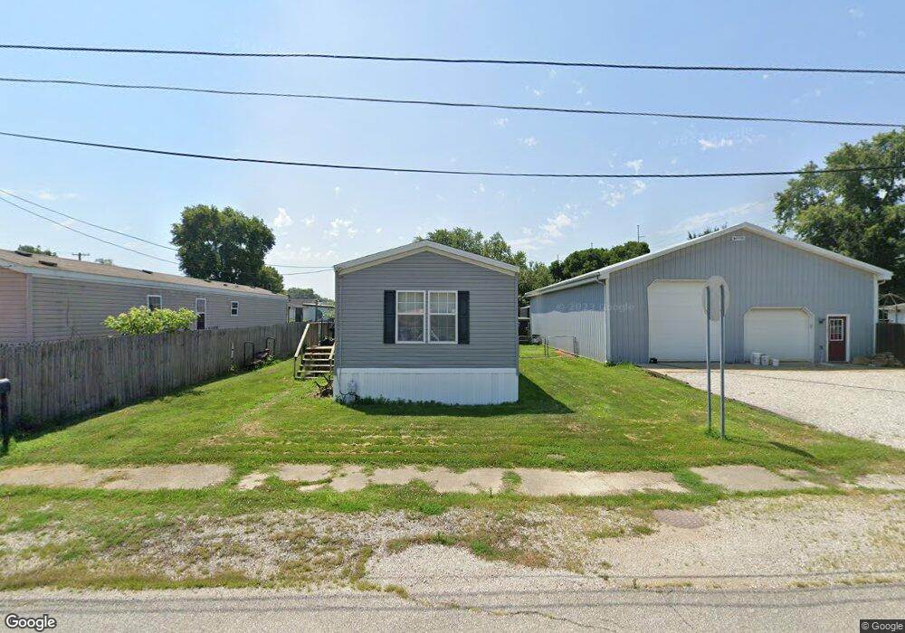
205 W John St Fort Branch, IN 47648
Estimated Value: $113,870 - $168,000
3
Beds
2
Baths
1,248
Sq Ft
$118/Sq Ft
Est. Value
About This Home
This home is located at 205 W John St, Fort Branch, IN 47648 and is currently estimated at $146,968, approximately $117 per square foot. 205 W John St is a home with nearby schools including Gibson Southern High School.
Ownership History
Date
Name
Owned For
Owner Type
Purchase Details
Closed on
Jun 28, 2024
Sold by
Crawford Robert B
Bought by
Bruce James Harold and Rogers Donald Earl
Current Estimated Value
Home Financials for this Owner
Home Financials are based on the most recent Mortgage that was taken out on this home.
Original Mortgage
$51,337
Outstanding Balance
$47,250
Interest Rate
6.94%
Mortgage Type
New Conventional
Estimated Equity
$99,718
Create a Home Valuation Report for This Property
The Home Valuation Report is an in-depth analysis detailing your home's value as well as a comparison with similar homes in the area
Home Values in the Area
Average Home Value in this Area
Purchase History
| Date | Buyer | Sale Price | Title Company |
|---|---|---|---|
| Bruce James Harold | $51,760 | None Listed On Document |
Source: Public Records
Mortgage History
| Date | Status | Borrower | Loan Amount |
|---|---|---|---|
| Open | Bruce James Harold | $51,337 |
Source: Public Records
Tax History Compared to Growth
Tax History
| Year | Tax Paid | Tax Assessment Tax Assessment Total Assessment is a certain percentage of the fair market value that is determined by local assessors to be the total taxable value of land and additions on the property. | Land | Improvement |
|---|---|---|---|---|
| 2024 | $281 | $57,100 | $0 | $57,100 |
| 2023 | $1,120 | $56,000 | $0 | $56,000 |
| 2022 | $1,800 | $90,000 | $0 | $90,000 |
| 2021 | $1,556 | $77,800 | $0 | $77,800 |
| 2020 | $1,458 | $72,900 | $0 | $72,900 |
| 2019 | $1,474 | $73,700 | $0 | $73,700 |
| 2018 | $1,494 | $74,700 | $0 | $74,700 |
| 2017 | $1,468 | $73,400 | $0 | $73,400 |
| 2016 | $1,416 | $70,800 | $0 | $70,800 |
| 2014 | $1,362 | $70,200 | $0 | $70,200 |
| 2013 | -- | $74,600 | $0 | $74,600 |
Source: Public Records
Map
Nearby Homes
- 403 N West St
- 211 W Locust St Unit 2
- 209 S Main St
- 806 E Park St
- 603 E Park St
- 205 S Us Highway 41
- 6000 S Us Hwy 41 N
- 10160 S Quail Crossing
- 206 W Gibson St
- 301 S 4th Ave
- 525 S 8th Ave
- 7075 S 500 W
- 11088 S Owensville Rd
- 81 E 200 S
- 416 E Walnut St
- 2622 W 1300 S
- 401 N 1st St
- 2352 E Warrenton Rd
- 108 E Warrick St
- 5142 Indiana 65