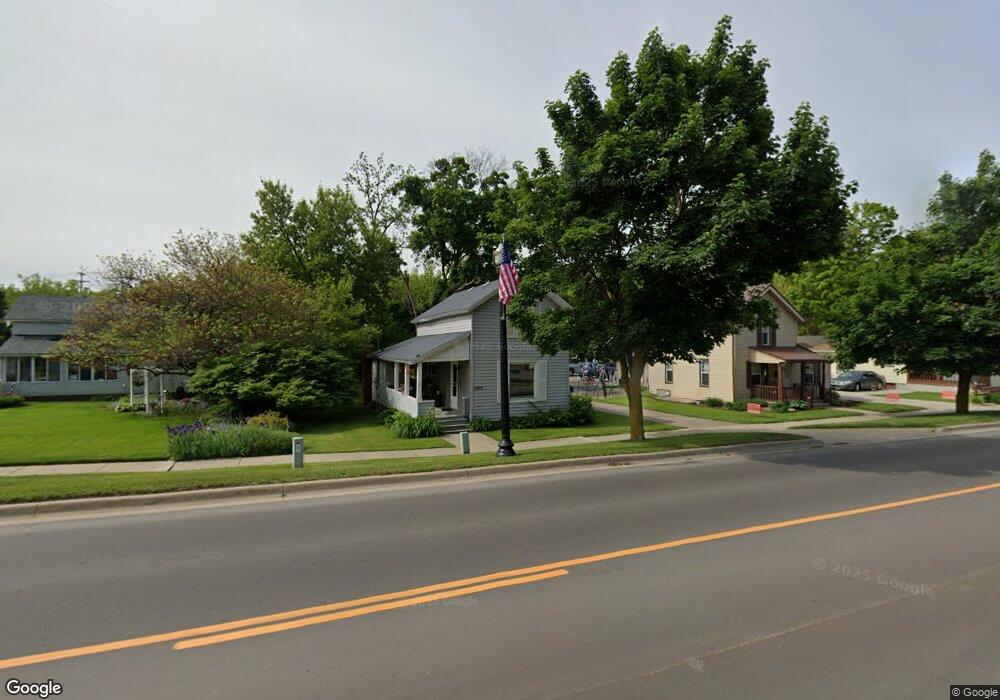
205 W Main St Flushing, MI 48433
Estimated Value: $109,001 - $148,000
Studio
--
Bath
818
Sq Ft
$156/Sq Ft
Est. Value
About This Home
This home is located at 205 W Main St, Flushing, MI 48433 and is currently estimated at $127,250, approximately $155 per square foot. 205 W Main St is a home located in Genesee County with nearby schools including Seymour Elementary School, Flushing Middle School, and Flushing High School.
Ownership History
Date
Name
Owned For
Owner Type
Purchase Details
Closed on
Dec 4, 2009
Sold by
Mcdonald Patrick M and Mcdonald Coleen K
Bought by
Mcdonald Patrick M and Mcdonald Coleen K
Current Estimated Value
Home Financials for this Owner
Home Financials are based on the most recent Mortgage that was taken out on this home.
Original Mortgage
$51,500
Interest Rate
5.02%
Mortgage Type
New Conventional
Purchase Details
Closed on
May 13, 2002
Sold by
Mcdonald Patrick M and Mcdonald Coleen K
Bought by
Mcdonald Patrick M and Mcdonald Coleen K
Create a Home Valuation Report for This Property
The Home Valuation Report is an in-depth analysis detailing your home's value as well as a comparison with similar homes in the area
Home Values in the Area
Average Home Value in this Area
Purchase History
| Date | Buyer | Sale Price | Title Company |
|---|---|---|---|
| Mcdonald Patrick M | -- | Clea | |
| Mcdonald Patrick M | -- | -- |
Source: Public Records
Mortgage History
| Date | Status | Borrower | Loan Amount |
|---|---|---|---|
| Closed | Mcdonald Patrick M | $51,500 |
Source: Public Records
Tax History
| Year | Tax Paid | Tax Assessment Tax Assessment Total Assessment is a certain percentage of the fair market value that is determined by local assessors to be the total taxable value of land and additions on the property. | Land | Improvement |
|---|---|---|---|---|
| 2025 | $1,886 | $45,400 | $0 | $0 |
| 2024 | $1,650 | $41,800 | $0 | $0 |
| 2023 | $1,589 | $38,400 | $0 | $0 |
| 2022 | $1,651 | $35,400 | $0 | $0 |
| 2021 | $1,651 | $32,300 | $0 | $0 |
| 2020 | $1,408 | $27,300 | $0 | $0 |
| 2019 | $1,382 | $25,100 | $0 | $0 |
| 2018 | $1,513 | $25,800 | $0 | $0 |
| 2017 | $1,443 | $25,400 | $0 | $0 |
| 2016 | $1,432 | $20,809 | $0 | $0 |
| 2015 | $1,424 | $0 | $0 | $0 |
| 2012 | -- | $20,100 | $20,100 | $0 |
Source: Public Records
Map
Nearby Homes
- 315 N Maple St
- 113 N Mckinley Rd
- 6289 W River Rd
- 100 Aberdeen Dr Unit 36
- 501 Spring Ln
- 0 E River Rd Unit 50180952
- 241 Aberdeen Ct Unit 11 bldg 6
- 0 W Pierson Rd Unit 50141989
- 229 Aberdeen Ct
- 527 Oakbrook Cir Unit 14
- 0 Winters Eave Dr Unit 50117986
- 608 Autumn Dr
- 530 Coutant St
- 3500 Woodridge Ct
- 200 Boman St
- 516 Sunnyslope Dr
- Lot 1 across from 74 E River Rd
- 6106 E River Rd
- 0 Double Tree Estates
- 621 Ashwood Dr
- 209 W Main St
- 104 Terrace St
- 213 W Main St
- 226 W Main St
- 105 Terrace St
- 114 Terrace St
- 221 W Main St
- 226 Emily St
- 202 Terrace St
- 300 Emily St Unit Bldg-Unit
- 300 Emily St
- 217 Emily St
- 300 W Main St
- 90 E Main St
- 315 W Main St
- 208 Terrace St
- 125 N Maple St
- 308 Emily St
- 205 Oak St
- 115 N Maple St Unit Firehouse Upstairs
Your Personal Tour Guide
Ask me questions while you tour the home.