205 W Main St Table Grove, IL 61482
Estimated Value: $98,000 - $123,000
--
Bed
--
Bath
--
Sq Ft
0.69
Acres
About This Home
This home is located at 205 W Main St, Table Grove, IL 61482 and is currently estimated at $107,849. 205 W Main St is a home located in Fulton County with nearby schools including VIT Elementary School and VIT Senior High School.
Ownership History
Date
Name
Owned For
Owner Type
Purchase Details
Closed on
May 25, 2017
Sold by
Jason Steele and Jason Lindsay
Bought by
Baudino Jayson and Haven Baudino
Current Estimated Value
Home Financials for this Owner
Home Financials are based on the most recent Mortgage that was taken out on this home.
Original Mortgage
$70,800
Interest Rate
4.81%
Mortgage Type
New Conventional
Purchase Details
Closed on
Aug 8, 2012
Sold by
Kirkbridekevin Kirkbridekevin and Kirkbridekevin Patricia
Bought by
Steelejason Steelejason and Steelejason Lindsay
Create a Home Valuation Report for This Property
The Home Valuation Report is an in-depth analysis detailing your home's value as well as a comparison with similar homes in the area
Home Values in the Area
Average Home Value in this Area
Purchase History
| Date | Buyer | Sale Price | Title Company |
|---|---|---|---|
| Baudino Jayson | $87,500 | Terrill Title | |
| Steelejason Steelejason | $82,000 | -- |
Source: Public Records
Mortgage History
| Date | Status | Borrower | Loan Amount |
|---|---|---|---|
| Closed | Baudino Jayson | $70,800 |
Source: Public Records
Tax History Compared to Growth
Tax History
| Year | Tax Paid | Tax Assessment Tax Assessment Total Assessment is a certain percentage of the fair market value that is determined by local assessors to be the total taxable value of land and additions on the property. | Land | Improvement |
|---|---|---|---|---|
| 2024 | $2,885 | $30,560 | $2,000 | $28,560 |
| 2023 | $2,885 | $29,240 | $1,910 | $27,330 |
| 2022 | $2,490 | $29,240 | $1,910 | $27,330 |
| 2021 | $2,490 | $25,400 | $1,910 | $23,490 |
| 2020 | $2,062 | $24,560 | $1,850 | $22,710 |
| 2019 | $2,137 | $24,950 | $1,880 | $23,070 |
| 2018 | $2,074 | $24,470 | $1,840 | $22,630 |
| 2017 | $2,747 | $24,470 | $1,840 | $22,630 |
| 2016 | $2,002 | $23,630 | $1,780 | $21,850 |
| 2015 | $992 | $23,630 | $1,780 | $21,850 |
| 2013 | -- | $23,020 | $1,730 | $21,290 |
| 2012 | -- | $22,460 | $1,690 | $20,770 |
Source: Public Records
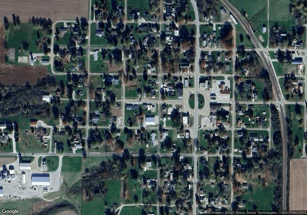
Map
Nearby Homes
- 109 E Laurel St
- 102 & 104 W 1st St
- 519 W 3rd St
- 208 E 4th St
- 302 W 5th St
- 406 S Liberty St
- 10120 E 2250th St
- 111 E South St
- 545 E Tarters Ferry Ln
- 545 E Tarters Ferry Rd
- 000 N Tarters Ferry Ln
- 17217 N Dairy Farm Rd
- 8323 E Briney Rd
- N Bucher Rd
- N Side Hwy 95
- 10206 E County 14 Hwy
- 2205 N Sullivan Rd
- 10315 E County 14 Hwy
- 201 W State St
- 8739 E Turner Hwy
- 211 W Main St
- 206 W Market St
- 208 W Main St
- 202 W Main St
- 200 W Main St
- 102 S Henry St
- 301 W Main St
- 300 W Main St
- 105 W Main St
- 205 E Market St
- 207 W Market St
- 102 N James St
- 211 W Liberty St
- 301 W Market St
- 104 N Henry St
- 102 W Main St
- 107 W Market St
- 206 S James St
- 109 W Liberty St
- 305 W Market St