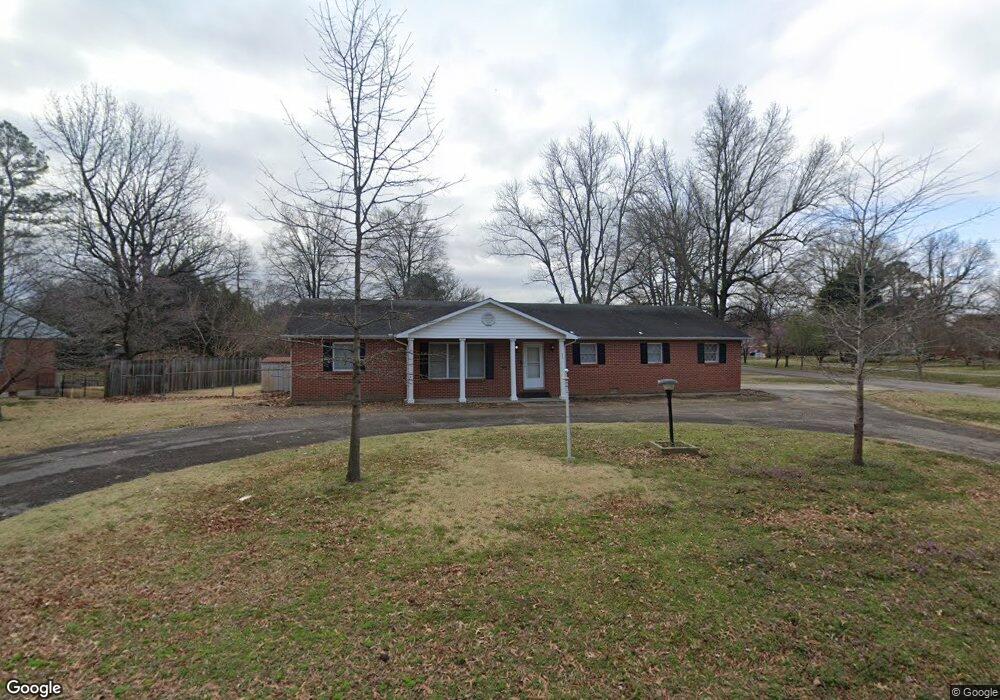
205 W Wakefield Ave Sikeston, MO 63801
Estimated Value: $190,000 - $196,002
3
Beds
2
Baths
1,610
Sq Ft
$120/Sq Ft
Est. Value
About This Home
This home is located at 205 W Wakefield Ave, Sikeston, MO 63801 and is currently estimated at $193,751, approximately $120 per square foot. 205 W Wakefield Ave is a home with nearby schools including Sikeston Senior High School, St. Francis Xavier School, and The Christian Academy.
Ownership History
Date
Name
Owned For
Owner Type
Purchase Details
Closed on
Dec 23, 2020
Sold by
Deane Matthew and Deane Kaci
Bought by
Bradley Brennen and Walker Cierria
Current Estimated Value
Home Financials for this Owner
Home Financials are based on the most recent Mortgage that was taken out on this home.
Original Mortgage
$131,313
Outstanding Balance
$117,116
Interest Rate
2.8%
Mortgage Type
New Conventional
Estimated Equity
$76,635
Purchase Details
Closed on
Nov 21, 2013
Bought by
Deane Matthew
Home Financials for this Owner
Home Financials are based on the most recent Mortgage that was taken out on this home.
Original Mortgage
$73,500
Interest Rate
4.17%
Mortgage Type
New Conventional
Create a Home Valuation Report for This Property
The Home Valuation Report is an in-depth analysis detailing your home's value as well as a comparison with similar homes in the area
Home Values in the Area
Average Home Value in this Area
Purchase History
| Date | Buyer | Sale Price | Title Company |
|---|---|---|---|
| Bradley Brennen | -- | Semo Title Company | |
| Deane Matthew | $93,500 | -- |
Source: Public Records
Mortgage History
| Date | Status | Borrower | Loan Amount |
|---|---|---|---|
| Open | Bradley Brennen | $131,313 | |
| Previous Owner | Deane Matthew | $73,500 |
Source: Public Records
Tax History Compared to Growth
Tax History
| Year | Tax Paid | Tax Assessment Tax Assessment Total Assessment is a certain percentage of the fair market value that is determined by local assessors to be the total taxable value of land and additions on the property. | Land | Improvement |
|---|---|---|---|---|
| 2025 | $785 | $18,180 | $0 | $0 |
| 2024 | $785 | $16,500 | $0 | $0 |
| 2023 | $782 | $16,500 | $0 | $0 |
| 2022 | $787 | $15,940 | $0 | $0 |
| 2021 | $787 | $15,940 | $0 | $0 |
| 2020 | $697 | $15,380 | $0 | $0 |
| 2019 | -- | $15,380 | $0 | $0 |
| 2018 | -- | $15,380 | $0 | $0 |
| 2017 | -- | $15,380 | $0 | $0 |
| 2014 | -- | $15,160 | $0 | $0 |
| 2011 | -- | $15,160 | $0 | $0 |
Source: Public Records
Map
Nearby Homes
- 918 Hawthorn Dr
- 817 N Kingshighway St
- 933 Hawthorn Dr
- 202 College St
- 4 N West St
- 1011 N Ranney St
- 1040 N Kingshighway St
- 627 Vernon Ave
- 202 E Woodlawn Ave
- 701 Sikes Ave
- 312 Tanner St
- 901 Moore Ave
- 114 W North St
- 111 Linda Dr
- 1009 N West St
- 907 Taylor St
- 203 N Kingshighway St
- 123 Holmes Dr
- 630 Euclid Dr
- 511 W Lindenwood Ave
- 806 Allen Blvd
- 203 W Wakefield Ave
- 804 Allen Blvd
- 201 W Wakefield Ave
- 204 W Wakefield Ave
- 202 W Wakefield Ave
- 802 Allen Blvd
- 901 Allen Blvd
- 119 W Wakefield Ave
- 903 Allen Blvd
- 800 Allen Blvd
- 306 W Wakefield Ave
- 200 W Wakefield Ave
- 6 Powers Ave
- 902 Allen Blvd
- 1 Cotton Trace St
- 905 Allen Blvd
- 718 Allen Blvd
- 117 W Wakefield Ave
- 900 Hawthorn Dr