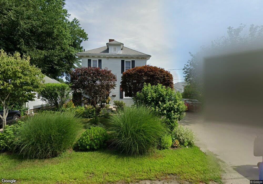
205 Wayland Ave Cranston, RI 02920
Meshanticut NeighborhoodEstimated Value: $434,000 - $469,000
3
Beds
2
Baths
1,917
Sq Ft
$235/Sq Ft
Est. Value
About This Home
This home is located at 205 Wayland Ave, Cranston, RI 02920 and is currently estimated at $451,051, approximately $235 per square foot. 205 Wayland Ave is a home located in Providence County with nearby schools including George J. Peters School, Western Hills Middle School, and Cranston High School West.
Ownership History
Date
Name
Owned For
Owner Type
Purchase Details
Closed on
Dec 19, 2011
Sold by
Ciorlano Malissa
Bought by
Whalen Malissa
Current Estimated Value
Purchase Details
Closed on
Oct 31, 2007
Sold by
Ciorlano Frank L
Bought by
Ciorlano Malissa
Home Financials for this Owner
Home Financials are based on the most recent Mortgage that was taken out on this home.
Original Mortgage
$180,000
Interest Rate
6.43%
Mortgage Type
Purchase Money Mortgage
Create a Home Valuation Report for This Property
The Home Valuation Report is an in-depth analysis detailing your home's value as well as a comparison with similar homes in the area
Home Values in the Area
Average Home Value in this Area
Purchase History
| Date | Buyer | Sale Price | Title Company |
|---|---|---|---|
| Whalen Malissa | -- | -- | |
| Ciorlano Malissa | $225,000 | -- |
Source: Public Records
Mortgage History
| Date | Status | Borrower | Loan Amount |
|---|---|---|---|
| Previous Owner | Ciorlano Malissa | $180,000 | |
| Previous Owner | Ciorlano Malissa | $180,000 | |
| Previous Owner | Ciorlano Malissa | $191,000 |
Source: Public Records
Tax History
| Year | Tax Paid | Tax Assessment Tax Assessment Total Assessment is a certain percentage of the fair market value that is determined by local assessors to be the total taxable value of land and additions on the property. | Land | Improvement |
|---|---|---|---|---|
| 2025 | $5,362 | $386,300 | $103,800 | $282,500 |
| 2024 | $5,258 | $386,300 | $103,800 | $282,500 |
| 2023 | $5,107 | $270,200 | $68,300 | $201,900 |
| 2022 | $5,001 | $270,200 | $68,300 | $201,900 |
| 2021 | $4,864 | $270,200 | $68,300 | $201,900 |
| 2020 | $4,478 | $215,600 | $65,100 | $150,500 |
| 2019 | $4,478 | $215,600 | $65,100 | $150,500 |
| 2018 | $4,375 | $215,600 | $65,100 | $150,500 |
| 2017 | $3,969 | $173,000 | $58,600 | $114,400 |
| 2016 | $3,884 | $173,000 | $58,600 | $114,400 |
Source: Public Records
Map
Nearby Homes
- 148 Wayland Ave
- 333 Phenix Ave
- 71 Norton Ave
- 0 Phenix Ave Unit 1408504
- 0 Hayes St Unit 1409459
- 2037 Cranston St
- 00 Burton St
- 65 Traymore St
- 99 Salem Ave
- 84 N View Ave
- 69 W View Ave
- 129 Vallette St
- 93 Elena St
- 44 Village Ave
- 80 W View Ave
- 135 Meshanticut Valley Pkwy
- 58 Meredith Dr
- 75 Macbeth St
- 244 Stony Acre Dr
- 74 Woodside St
- 15 Elmhurst Ave
- 197 Wayland Ave
- 209 Wayland Ave
- 31 Elmhurst Ave
- 189 Wayland Ave
- 213 Wayland Ave
- 25 Elmhurst Ave
- 35 Elmhurst Ave
- 204 Wayland Ave
- 198 Wayland Ave
- 21 Elmhurst Ave
- 9 Preston Ave
- 221 Wayland Ave
- 194 Wayland Ave
- 212 Wayland Ave
- 190 Wayland Ave
- 14 Carpathia Rd
- 73 Preston Ave
- 24 Elmhurst Ave
- 24 Elmhurst Ave Unit 2
Your Personal Tour Guide
Ask me questions while you tour the home.