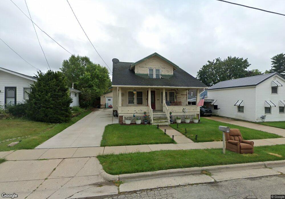
205 William St Watertown, WI 53094
Estimated Value: $204,058 - $251,000
--
Bed
--
Bath
--
Sq Ft
7,013
Sq Ft Lot
About This Home
This home is located at 205 William St, Watertown, WI 53094 and is currently estimated at $231,265. 205 William St is a home located in Jefferson County with nearby schools including Watertown High School, eCampus Academy Charter School, and Trinity-St. Luke's Lutheran Elementary School.
Ownership History
Date
Name
Owned For
Owner Type
Purchase Details
Closed on
Nov 29, 2023
Sold by
Stawicki Robert S and Stawicki Deborah D
Bought by
Behling Cody K and Hoppe Andrea
Current Estimated Value
Purchase Details
Closed on
Jun 17, 2021
Sold by
Stawicki Robert S and Stawicki Deborah D
Bought by
Behling Cody and Hoppe Andrea
Home Financials for this Owner
Home Financials are based on the most recent Mortgage that was taken out on this home.
Original Mortgage
$128,000
Interest Rate
2.9%
Mortgage Type
New Conventional
Create a Home Valuation Report for This Property
The Home Valuation Report is an in-depth analysis detailing your home's value as well as a comparison with similar homes in the area
Home Values in the Area
Average Home Value in this Area
Purchase History
| Date | Buyer | Sale Price | Title Company |
|---|---|---|---|
| Behling Cody K | $78,800 | None Listed On Document | |
| Behling Cody | $135,000 | None Available |
Source: Public Records
Mortgage History
| Date | Status | Borrower | Loan Amount |
|---|---|---|---|
| Previous Owner | Behling Cody | $128,000 |
Source: Public Records
Tax History Compared to Growth
Tax History
| Year | Tax Paid | Tax Assessment Tax Assessment Total Assessment is a certain percentage of the fair market value that is determined by local assessors to be the total taxable value of land and additions on the property. | Land | Improvement |
|---|---|---|---|---|
| 2024 | $2,956 | $199,400 | $42,000 | $157,400 |
| 2023 | $2,776 | $157,600 | $36,000 | $121,600 |
| 2022 | $2,787 | $157,600 | $36,000 | $121,600 |
| 2021 | $2,585 | $102,000 | $22,000 | $80,000 |
| 2020 | $2,556 | $102,000 | $22,000 | $80,000 |
| 2019 | $2,496 | $102,000 | $22,000 | $80,000 |
| 2018 | $2,428 | $102,000 | $22,000 | $80,000 |
| 2017 | $2,306 | $102,000 | $22,000 | $80,000 |
| 2016 | $2,278 | $102,000 | $22,000 | $80,000 |
| 2015 | $2,250 | $102,000 | $22,000 | $80,000 |
| 2014 | $2,280 | $102,000 | $22,000 | $80,000 |
| 2013 | $2,323 | $102,000 | $22,000 | $80,000 |
Source: Public Records
Map
Nearby Homes
- 1301 Utah St
- 1215 Utah St
- 1313 Utah St
- 1314 Waldron St
- 913 S 3rd St
- 1418 S 9th St
- 131 Cedar Ct
- The Saybrook Plan at Rock River Ridge
- The Atwater Plan at Rock River Ridge
- The Hudson Plan at Rock River Ridge
- The Coral Plan at Rock River Ridge
- The Drake Plan at Rock River Ridge
- The Addison Plan at Rock River Ridge
- The Bradford Plan at Rock River Ridge
- The Catalina Plan at Rock River Ridge
- The Adrian Plan at Rock River Ridge
- The McKinley Plan at Rock River Ridge
- The Siena Plan at Rock River Ridge
- The Bridgeport Plan at Rock River Ridge
- The Wingra Plan at Rock River Ridge