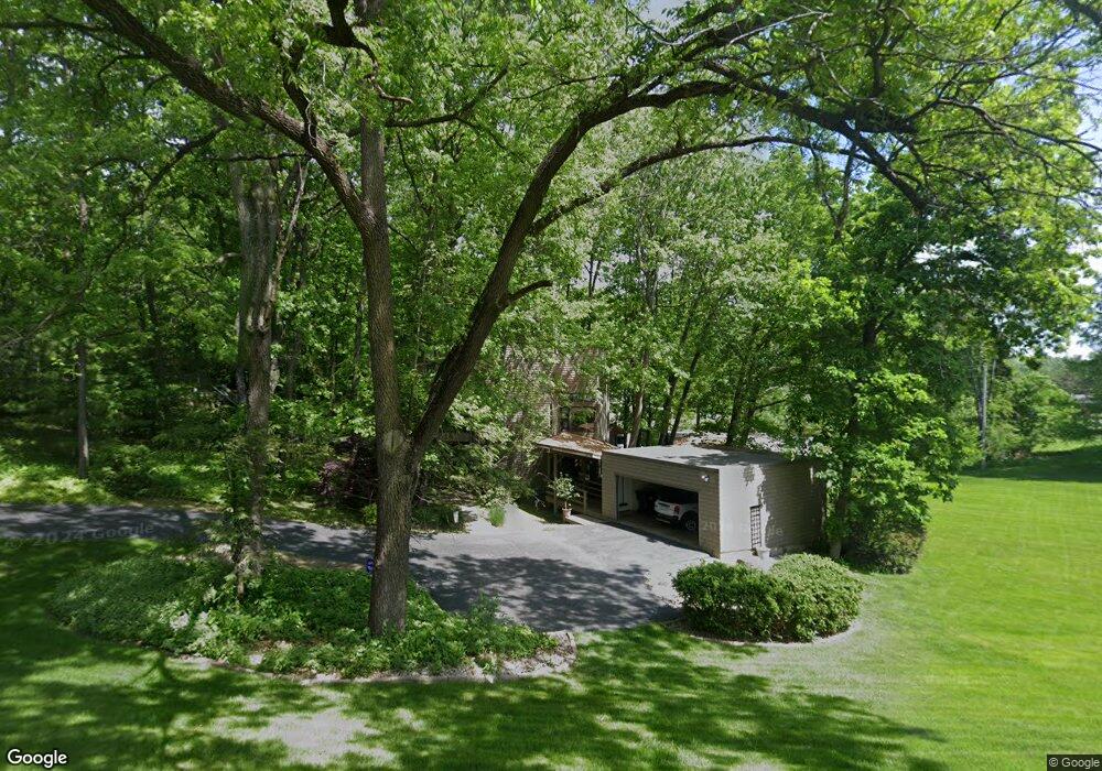
205 Woodside Ct Valparaiso, IN 46385
Estimated Value: $485,712 - $606,000
3
Beds
2
Baths
3,423
Sq Ft
$156/Sq Ft
Est. Value
About This Home
This home is located at 205 Woodside Ct, Valparaiso, IN 46385 and is currently estimated at $534,678, approximately $156 per square foot. 205 Woodside Ct is a home located in Porter County with nearby schools including Ben Franklin Middle School and Valparaiso High School.
Ownership History
Date
Name
Owned For
Owner Type
Purchase Details
Closed on
Nov 10, 2009
Sold by
Richardson Ryan B and Richardson Kristin J
Bought by
Huppmann Francis X and Huppmann Lisa R
Current Estimated Value
Home Financials for this Owner
Home Financials are based on the most recent Mortgage that was taken out on this home.
Original Mortgage
$90,000
Interest Rate
4.9%
Mortgage Type
New Conventional
Purchase Details
Closed on
Nov 28, 2005
Sold by
Bell Kennith L and Bell Wendy M
Bought by
Richardson Ryan B and Richardson Kristin J
Home Financials for this Owner
Home Financials are based on the most recent Mortgage that was taken out on this home.
Original Mortgage
$284,000
Interest Rate
6.2%
Mortgage Type
Purchase Money Mortgage
Create a Home Valuation Report for This Property
The Home Valuation Report is an in-depth analysis detailing your home's value as well as a comparison with similar homes in the area
Home Values in the Area
Average Home Value in this Area
Purchase History
| Date | Buyer | Sale Price | Title Company |
|---|---|---|---|
| Huppmann Francis X | -- | Ticor Title Insurance | |
| Richardson Ryan B | -- | Ticor Title Insurance |
Source: Public Records
Mortgage History
| Date | Status | Borrower | Loan Amount |
|---|---|---|---|
| Closed | Huppmann Francis X | $90,000 | |
| Previous Owner | Richardson Ryan B | $284,000 |
Source: Public Records
Tax History Compared to Growth
Tax History
| Year | Tax Paid | Tax Assessment Tax Assessment Total Assessment is a certain percentage of the fair market value that is determined by local assessors to be the total taxable value of land and additions on the property. | Land | Improvement |
|---|---|---|---|---|
| 2024 | $4,138 | $471,400 | $58,700 | $412,700 |
| 2023 | $3,998 | $451,200 | $54,900 | $396,300 |
| 2022 | $3,965 | $408,700 | $54,900 | $353,800 |
| 2021 | $4,247 | $376,400 | $54,900 | $321,500 |
| 2020 | $4,076 | $356,600 | $47,700 | $308,900 |
| 2019 | $3,644 | $314,800 | $47,700 | $267,100 |
| 2018 | $3,522 | $303,900 | $47,700 | $256,200 |
| 2017 | $3,398 | $299,600 | $47,700 | $251,900 |
| 2016 | $3,110 | $291,200 | $48,100 | $243,100 |
| 2014 | $2,301 | $265,400 | $45,700 | $219,700 |
| 2013 | -- | $248,200 | $45,600 | $202,600 |
Source: Public Records
Map
Nearby Homes
- 221 W 150 N
- 201 W US Highway 30
- 110 Wheatridge Rd
- 700 W Us Highway 30
- 77 Sanctuary Dr
- 265 Westport Rd
- 274 Westport Rd
- 65 Sanctuary Dr
- 63 Sanctuary Dr
- 61 Sanctuary Dr
- 59 Sanctuary Dr
- The Willow Plan at Woods Edge
- The Sequoia Plan at Woods Edge
- The Oakwood Plan at Woods Edge
- The Chickory Plan at Woods Edge
- The Birchwood Plan at Woods Edge
- The Alderwood Plan at Woods Edge
- 68 Braemar Dr
- 66 Braemar Dr
- 1658 Clifty Creek Ct