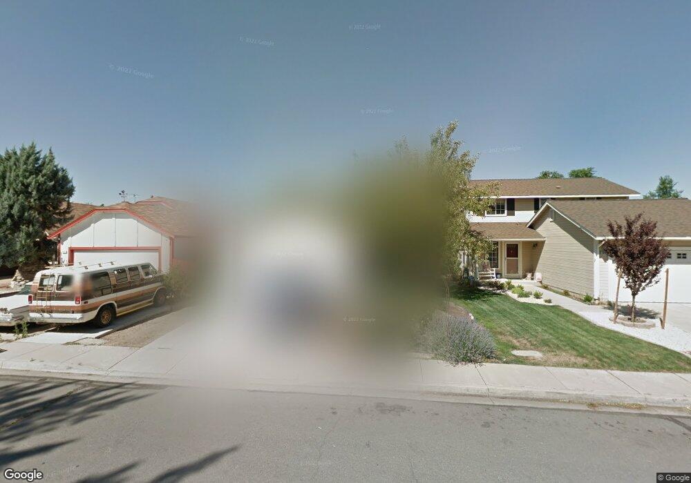
2050 Burnside Dr Sparks, NV 89434
O'Callaghan NeighborhoodEstimated Value: $437,000 - $451,000
About This Home
This home is located at 2050 Burnside Dr, Sparks, NV 89434 and is currently estimated at $444,067, approximately $355 per square foot. 2050 Burnside Dr is a home located in Washoe County with nearby schools including Katherine Dunn Elementary School, George L Dilworth Middle School, and Edward C Reed High School.
Ownership History
We collect this data history from publicly available records. To have your information removed, we recommend requesting removal directly through your county’s website.
Purchase Details
Home Financials for this Owner
Home Financials are based on the most recent Mortgage that was taken out on this home.Purchase Details
Home Financials for this Owner
Home Financials are based on the most recent Mortgage that was taken out on this home.Purchase Details
Home Financials for this Owner
Home Financials are based on the most recent Mortgage that was taken out on this home.Purchase Details
Home Financials for this Owner
Home Financials are based on the most recent Mortgage that was taken out on this home.Home Values in the Area
Average Home Value in this Area
Purchase History
We collect this data history from publicly available records. To have your information removed, we recommend requesting removal directly through your county’s website.
| Date | Buyer | Sale Price | Title Company |
|---|---|---|---|
| -- | First Centennial Reno | ||
| -- | -- | ||
| $133,000 | First American Title | ||
| $123,500 | First American Title Co |
Mortgage History
We collect this data history from publicly available records. To have your information removed, we recommend requesting removal directly through your county’s website.
| Date | Status | Borrower | Loan Amount |
|---|---|---|---|
| Open | $176,000 | ||
| Previous Owner | $126,350 | ||
| Previous Owner | $81,500 |
Tax History
We collect this data history from publicly available records. To have your information removed, we recommend requesting removal directly through your county’s website.
| Year | Tax Paid | Tax Assessment Tax Assessment Total Assessment is a certain percentage of the fair market value that is determined by local assessors to be the total taxable value of land and additions on the property. | Land | Improvement |
|---|---|---|---|---|
| 2026 | -- | $59,981 | $29,453 | $30,528 |
| 2024 | $1,478 | $62,705 | $31,089 | $31,616 |
| 2023 | $1,413 | $61,002 | $30,690 | $30,312 |
| 2022 | $1,373 | $50,303 | $24,705 | $25,599 |
| 2021 | $1,333 | $44,644 | $18,853 | $25,791 |
| 2020 | $1,292 | $44,917 | $18,786 | $26,131 |
| 2019 | $1,255 | $43,506 | $17,988 | $25,518 |
| 2018 | $1,218 | $38,493 | $13,267 | $25,226 |
| 2017 | $1,183 | $37,542 | $12,037 | $25,505 |
| 2016 | $1,153 | $37,127 | $10,840 | $26,287 |
| 2015 | $1,152 | $35,716 | $9,144 | $26,572 |
| 2014 | $1,107 | $33,044 | $7,814 | $25,230 |
| 2013 | -- | $29,621 | $5,786 | $23,835 |
Map
- 2212 Sycamore Glen Dr
- 1841 Burnside Dr
- 1831 Fargo Way
- 2106 Rockdale Dr
- 2205 Morninglory Dr
- 1777 Noreen Dr
- 1698 Candlewood St
- 2625 Sunny Slope Dr
- 2625 Sunny Slope Dr Unit 2
- 1236 Flora Glen Dr
- 2627 Sunny Slope Dr Unit 5
- 2624 Sunny Slope Dr Unit 4
- 2624 Sunny Slope Dr Unit 2
- 2645 Sunny Slope Dr Unit 4
- 2030 Woodhaven Ln
- 2675 Sycamore Glen Dr Unit 3
- 1232 N Rockdale Dr
- 2688 Laguna Way
- 1987 Bonita Vista Dr
- 2353 William Morby Dr
- 2020 Burnside Dr
- 2030 Burnside Dr
- 2010 Burnside Dr
- 2040 Burnside Dr
- 2000 Burnside Dr
- 1980 Burnside Dr
- 2011 Burnside Dr
- 1970 Burnside Dr
- 2021 Burnside Dr
- 2031 Burnside Dr
- 2060 Burnside Dr
- 2041 Burnside Dr
- 2001 Burnside Dr
- 2051 Burnside Dr
- 1981 Burnside Dr
- 2070 Burnside Dr
- 1960 Burnside Dr
- 1971 Burnside Dr
- 2061 Burnside Dr
- 1950 Burnside Dr
Ask me questions while you tour the home.