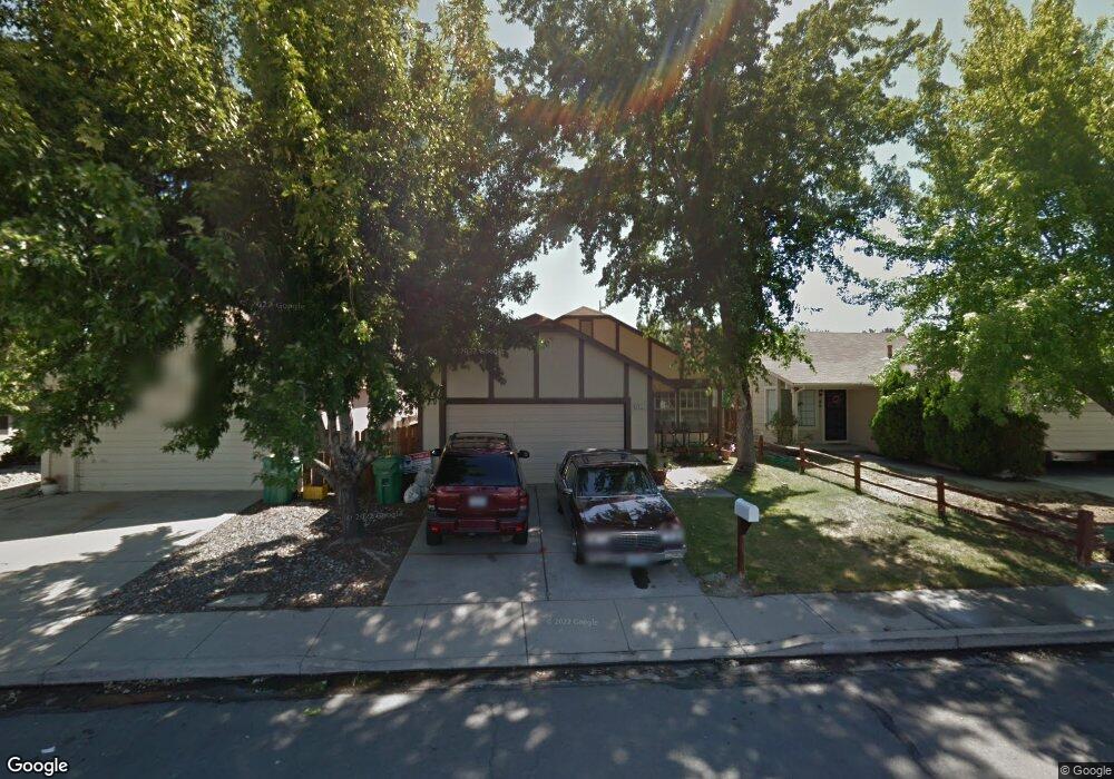
2011 Burnside Dr Sparks, NV 89434
O'Callaghan NeighborhoodEstimated Value: $441,000 - $484,000
About This Home
This home is located at 2011 Burnside Dr, Sparks, NV 89434 and is currently estimated at $457,193, approximately $332 per square foot. 2011 Burnside Dr is a home located in Washoe County with nearby schools including Katherine Dunn Elementary School, George L Dilworth Middle School, and Edward C Reed High School.
Ownership History
We collect this data history from publicly available records. To have your information removed, we recommend requesting removal directly through your county’s website.
Purchase Details
Purchase Details
Home Financials for this Owner
Home Financials are based on the most recent Mortgage that was taken out on this home.Purchase Details
Purchase Details
Purchase Details
Home Financials for this Owner
Home Financials are based on the most recent Mortgage that was taken out on this home.Purchase Details
Home Financials for this Owner
Home Financials are based on the most recent Mortgage that was taken out on this home.Purchase Details
Home Values in the Area
Average Home Value in this Area
Purchase History
We collect this data history from publicly available records. To have your information removed, we recommend requesting removal directly through your county’s website.
| Date | Buyer | Sale Price | Title Company |
|---|---|---|---|
| -- | None Listed On Document | ||
| $116,000 | Ticor Title Reno | ||
| -- | None Available | ||
| -- | None Available | ||
| -- | Stewart Title Of Northern Nv | ||
| -- | Stewart Title Of Northern Nv | ||
| $282,000 | Stewart Title Of Northern Nv | ||
| -- | Stewart Title Northern Nevad |
Mortgage History
We collect this data history from publicly available records. To have your information removed, we recommend requesting removal directly through your county’s website.
| Date | Status | Borrower | Loan Amount |
|---|---|---|---|
| Previous Owner | $112,961 | ||
| Previous Owner | $210,400 | ||
| Previous Owner | $225,600 |
Tax History
We collect this data history from publicly available records. To have your information removed, we recommend requesting removal directly through your county’s website.
| Year | Tax Paid | Tax Assessment Tax Assessment Total Assessment is a certain percentage of the fair market value that is determined by local assessors to be the total taxable value of land and additions on the property. | Land | Improvement |
|---|---|---|---|---|
| 2026 | $1,218 | $67,248 | $34,650 | $32,598 |
| 2025 | $1,581 | $68,220 | $34,580 | $33,640 |
| 2024 | $1,581 | $67,094 | $32,725 | $34,369 |
| 2023 | $1,536 | $65,283 | $32,305 | $32,978 |
| 2022 | $1,491 | $53,827 | $26,005 | $27,822 |
| 2021 | $1,449 | $47,870 | $19,845 | $28,025 |
| 2020 | $1,406 | $48,168 | $19,775 | $28,393 |
| 2019 | $1,366 | $46,681 | $18,935 | $27,746 |
| 2018 | $1,325 | $41,393 | $13,965 | $27,428 |
| 2017 | $1,286 | $40,393 | $12,670 | $27,723 |
| 2016 | $1,253 | $39,977 | $11,410 | $28,567 |
| 2015 | $1,251 | $38,416 | $9,625 | $28,791 |
| 2014 | $1,215 | $36,224 | $8,225 | $27,999 |
| 2013 | -- | $32,496 | $6,090 | $26,406 |
Map
- 2212 Sycamore Glen Dr
- 2106 Rockdale Dr
- 1831 Fargo Way
- 1841 Burnside Dr
- 1920 Figoni Ranch Rd
- 2495 Sycamore Glen Dr Unit 5
- 1632 Union St
- 2205 Morninglory Dr
- 1777 Noreen Dr
- 2627 Sunny Slope Dr Unit 5
- 1236 Flora Glen Dr
- 2625 Sunny Slope Dr
- 2625 Sunny Slope Dr Unit 2
- 2624 Sunny Slope Dr Unit 4
- 2624 Sunny Slope Dr Unit 2
- 2645 Sunny Slope Dr Unit 4
- 2030 Woodhaven Ln
- 2675 Sycamore Glen Dr Unit 3
- 1232 N Rockdale Dr
- 1236 Lawton Ct
- 2050 Burnside Dr
- 2060 Burnside Dr
- 2040 Burnside Dr
- 2070 Burnside Dr
- 2030 Burnside Dr
- 2080 Burnside Dr
- 2020 Burnside Dr
- 2051 Burnside Dr
- 2061 Burnside Dr
- 2090 Burnside Dr
- 2041 Burnside Dr
- 2010 Burnside Dr
- 2071 Burnside Dr
- 2031 Burnside Dr
- 2081 Burnside Dr
- 2021 Burnside Dr
- 2100 Burnside Dr
- 2000 Burnside Dr
- 2091 Burnside Dr
- 1980 Burnside Dr
Ask me questions while you tour the home.