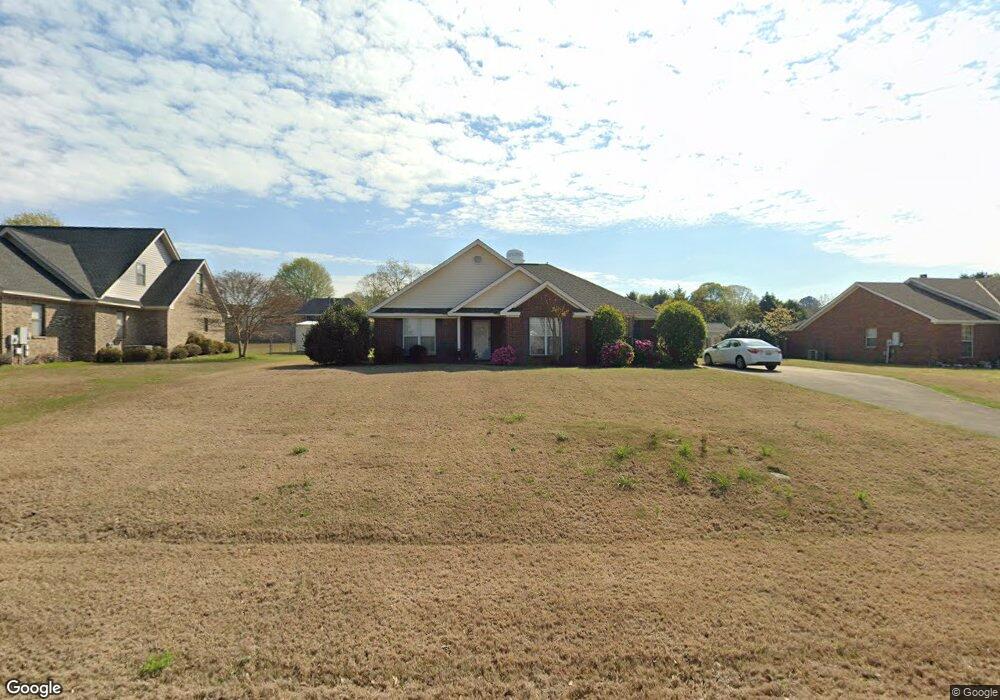
2050 Cedar Ridge Loop Prattville, AL 36067
Estimated Value: $227,000 - $243,000
Studio
--
Bath
1,511
Sq Ft
$157/Sq Ft
Est. Value
About This Home
This home is located at 2050 Cedar Ridge Loop, Prattville, AL 36067 and is currently estimated at $237,809, approximately $157 per square foot. 2050 Cedar Ridge Loop is a home located in Autauga County with nearby schools including Pine Level Elementary School, Marbury Middle School, and Marbury High School.
Ownership History
Date
Name
Owned For
Owner Type
Purchase Details
Closed on
May 15, 2007
Sold by
Laminack Steven
Bought by
Carrie B Kennedy
Current Estimated Value
Purchase Details
Closed on
May 4, 2004
Sold by
Glenn James and Hill Mickey M
Bought by
Steven M Laminack
Purchase Details
Closed on
Mar 31, 2003
Bought by
James Glen and Hill Micky M
Purchase Details
Closed on
Feb 28, 2001
Bought by
Kevin S Bozeman
Create a Home Valuation Report for This Property
The Home Valuation Report is an in-depth analysis detailing your home's value as well as a comparison with similar homes in the area
Home Values in the Area
Average Home Value in this Area
Purchase History
| Date | Buyer | Sale Price | Title Company |
|---|---|---|---|
| Carrie B Kennedy | $147,200 | -- | |
| Steven M Laminack | $114,900 | -- | |
| James Glen | $93,500 | -- | |
| Kevin S Bozeman | $99,900 | -- |
Source: Public Records
Tax History
| Year | Tax Paid | Tax Assessment Tax Assessment Total Assessment is a certain percentage of the fair market value that is determined by local assessors to be the total taxable value of land and additions on the property. | Land | Improvement |
|---|---|---|---|---|
| 2025 | $404 | $20,460 | $0 | $0 |
| 2024 | $388 | $19,640 | $0 | $0 |
| 2023 | $460 | $18,540 | $0 | $0 |
| 2022 | $389 | $15,920 | $0 | $0 |
| 2021 | $369 | $15,200 | $0 | $0 |
| 2020 | $366 | $15,060 | $0 | $0 |
| 2019 | $357 | $14,740 | $0 | $0 |
| 2018 | $360 | $14,860 | $0 | $0 |
| 2017 | $318 | $13,280 | $0 | $0 |
| 2015 | $313 | $0 | $0 | $0 |
| 2014 | $312 | $13,080 | $3,000 | $10,080 |
| 2013 | -- | $13,520 | $3,000 | $10,520 |
Source: Public Records
Map
Nearby Homes
- 1920 Cedar Ridge Loop
- 104 Laurel Hill Dr
- 108 Laurel Hill Dr
- 173 Laurel Hill Dr
- 140 Laurel Hill Dr
- 321 County Road 82
- 2578 County Road 66
- 2452 County Road 85
- 2283 US Highway 31 N
- 1231 Kenner Creek Cir
- 85 W County Rd
- County Road 14
- 2405 Landing Loop
- 1212 Kenner Creek Cir
- 00 County Rd 85
- 2002 Landcaster Ct
- 1703 County Road 39
- 1535 White Cloud Dr
- 1506 White Cloud Dr
- 3145 Landing Ln
- 2048 Cedar Ridge Loop
- 1910 Cedar Ridge Loop
- 1806 Aspen Way
- 2046 Cedar Ridge Loop
- 1804 Aspen Way
- 1808 Aspen Way
- 2051 Cedar Ridge Loop
- 2049 Cedar Ridge Loop
- 1810 Aspen Way
- 1802 Aspen Way
- 2044 Cedar Ridge Loop
- 2047 Cedar Ridge Loop
- 1812 Aspen Way
- 1907 Cedar Ridge Loop
- 1906 Cedar Ridge Loop
- 1905 Cedar Ridge Loop
- 1909 Cedar Ridge Loop
- 2042 Cedar Ridge Loop
- 575 River Birch Dr
- 573 River Birch Dr
Your Personal Tour Guide
Ask me questions while you tour the home.