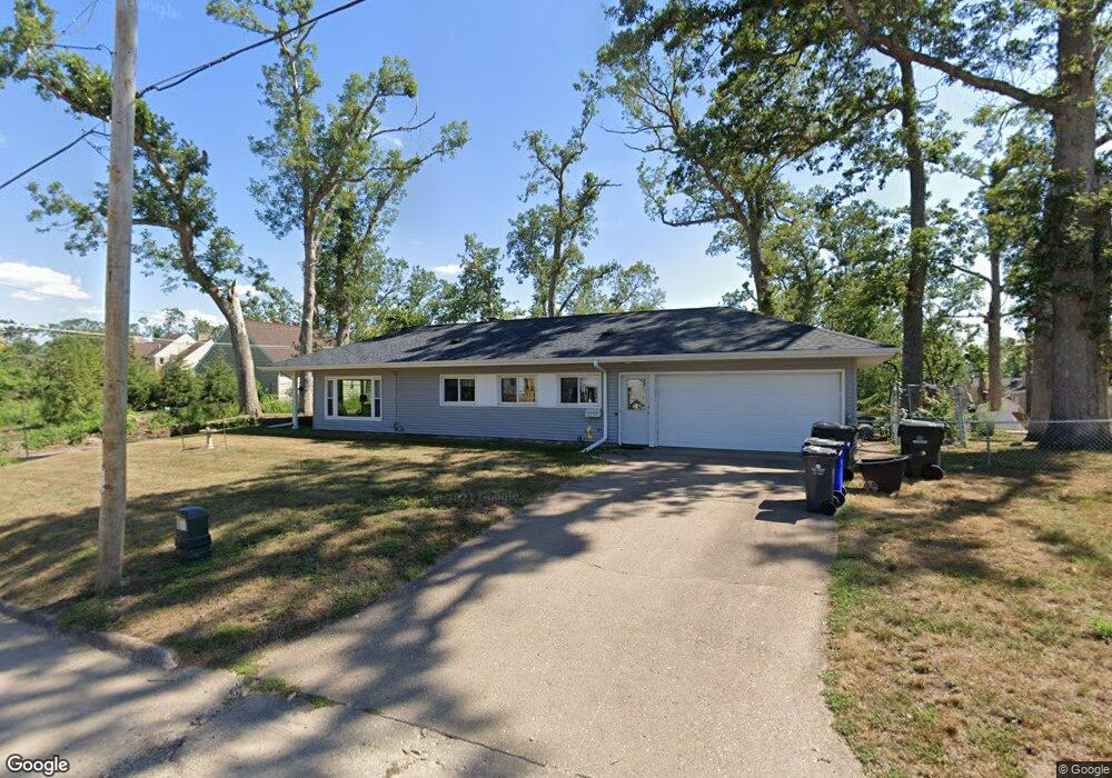
2050 Deerpath Ln SE Cedar Rapids, IA 52403
Bever Park NeighborhoodEstimated Value: $250,000 - $272,000
3
Beds
3
Baths
1,824
Sq Ft
$142/Sq Ft
Est. Value
About This Home
This home is located at 2050 Deerpath Ln SE, Cedar Rapids, IA 52403 and is currently estimated at $258,989, approximately $141 per square foot. 2050 Deerpath Ln SE is a home located in Linn County with nearby schools including Franklin Middle School, George Washington High School, and Cedar Valley Christian School.
Ownership History
Date
Name
Owned For
Owner Type
Purchase Details
Closed on
Jan 25, 2006
Sold by
Barnes James K and Barnes Cheryl J
Bought by
Barnes James K and Barnes Cheryl J
Current Estimated Value
Create a Home Valuation Report for This Property
The Home Valuation Report is an in-depth analysis detailing your home's value as well as a comparison with similar homes in the area
Home Values in the Area
Average Home Value in this Area
Purchase History
We collect this data history from publicly available records. To have your information removed, we recommend requesting removal directly through your county’s website.
| Date | Buyer | Sale Price | Title Company |
|---|---|---|---|
| Barnes James K | -- | None Available |
Source: Public Records
Tax History
| Year | Tax Paid | Tax Assessment Tax Assessment Total Assessment is a certain percentage of the fair market value that is determined by local assessors to be the total taxable value of land and additions on the property. | Land | Improvement |
|---|---|---|---|---|
| 2025 | $3,586 | $238,600 | $44,100 | $194,500 |
| 2024 | $3,926 | $213,100 | $38,600 | $174,500 |
| 2023 | $3,926 | $213,100 | $38,600 | $174,500 |
| 2022 | $3,628 | $195,000 | $38,600 | $156,400 |
| 2021 | $3,618 | $184,100 | $38,600 | $145,500 |
| 2020 | $3,618 | $172,600 | $29,400 | $143,200 |
| 2019 | $3,370 | $164,900 | $29,400 | $135,500 |
| 2018 | $3,274 | $164,900 | $29,400 | $135,500 |
| 2017 | $3,378 | $163,600 | $29,400 | $134,200 |
| 2016 | $3,335 | $156,900 | $29,400 | $127,500 |
| 2015 | $3,049 | $143,284 | $29,376 | $113,908 |
| 2014 | $2,864 | $150,628 | $36,720 | $113,908 |
| 2013 | $2,950 | $150,628 | $36,720 | $113,908 |
Source: Public Records
Map
Nearby Homes
- 198 Forest Dr SE
- 190 Cottage Grove Ave SE Unit 224
- 190 Cottage Grove Ave SE Unit 302
- 190 Cottage Grove Ave SE Unit 116
- 190 Cottage Grove Ave SE Unit 108
- 190 Cottage Grove Ave SE Unit 208
- 202 Forest Dr SE
- 182 Ryecroft SE
- 315 Linden Terrace SE
- 2135 1st Ave SE Unit 115
- 150 Thompson Dr SE Unit 320
- 150 Thompson Dr SE Unit 216
- 150 Thompson Dr SE Unit 306
- 150 Thompson Dr SE Unit 318
- 238 24th Street Dr SE
- 2131 1st Ave SE Unit 116
- 2131 1st Ave NE Unit 310
- 100 Thompson Dr SE Unit 116
- 130 Thompson Dr SE Unit 320
- 130 Thompson Dr SE Unit 210
- 450 Liberty Dr SE
- 460 Liberty Dr SE
- 437 Liberty Dr SE
- 430 Liberty Dr SE
- 455 Cottage Grove Ave SE
- 435 Cottage Grove Ave SE
- 2047 Markert Blvd SE
- 424 Liberty Dr SE
- 2041 Markert Blvd SE
- 431 Cottage Grove Ave SE
- 2040 Deerpath Ln SE
- 425 Liberty Dr SE
- 416 Liberty Dr SE
- 415 Liberty Dr SE
- 423 Cottage Grove Ave SE
- 2025 Markert Blvd SE
- 2040 Markert Blvd SE
- 2030 Deerpath Ln SE
- 2057 Eastern Blvd SE
- 2069 Eastern Blvd SE
Your Personal Tour Guide
Ask me questions while you tour the home.