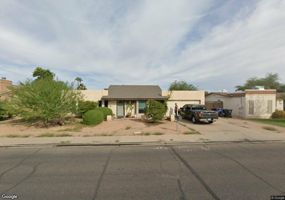
2050 E Decatur St Mesa, AZ 85213
North Central Mesa NeighborhoodEstimated Value: $430,726 - $543,000
4
Beds
2
Baths
2,102
Sq Ft
$231/Sq Ft
Est. Value
About This Home
This home is located at 2050 E Decatur St, Mesa, AZ 85213 and is currently estimated at $485,932, approximately $231 per square foot. 2050 E Decatur St is a home located in Maricopa County with nearby schools including Field Elementary School, Franklin at Brimhall Elementary School, and Franklin West Elementary School.
Ownership History
Date
Name
Owned For
Owner Type
Purchase Details
Closed on
Oct 3, 2006
Sold by
Meyer Duane and Meyer Frenchie L
Bought by
Miller Steven M and Miller Patricia L
Current Estimated Value
Home Financials for this Owner
Home Financials are based on the most recent Mortgage that was taken out on this home.
Original Mortgage
$200,000
Outstanding Balance
$119,146
Interest Rate
6.43%
Mortgage Type
New Conventional
Estimated Equity
$366,786
Purchase Details
Closed on
Sep 21, 1994
Sold by
Whitiker Robin H and Whitiker Lauren J
Bought by
Meyer Duane H and Miller Frenchie L
Home Financials for this Owner
Home Financials are based on the most recent Mortgage that was taken out on this home.
Original Mortgage
$88,268
Interest Rate
8.7%
Mortgage Type
FHA
Create a Home Valuation Report for This Property
The Home Valuation Report is an in-depth analysis detailing your home's value as well as a comparison with similar homes in the area
Home Values in the Area
Average Home Value in this Area
Purchase History
| Date | Buyer | Sale Price | Title Company |
|---|---|---|---|
| Miller Steven M | $250,000 | Ticor Title Agency Of Az Inc | |
| Meyer Duane H | $89,000 | Security Title Agency |
Source: Public Records
Mortgage History
| Date | Status | Borrower | Loan Amount |
|---|---|---|---|
| Open | Miller Steven M | $200,000 | |
| Previous Owner | Meyer Duane H | $88,268 |
Source: Public Records
Tax History
| Year | Tax Paid | Tax Assessment Tax Assessment Total Assessment is a certain percentage of the fair market value that is determined by local assessors to be the total taxable value of land and additions on the property. | Land | Improvement |
|---|---|---|---|---|
| 2025 | $1,612 | $19,416 | -- | -- |
| 2024 | $1,630 | $18,491 | -- | -- |
| 2023 | $1,630 | $33,200 | $6,640 | $26,560 |
| 2022 | $1,594 | $25,280 | $5,050 | $20,230 |
| 2021 | $1,638 | $23,970 | $4,790 | $19,180 |
| 2020 | $1,616 | $21,850 | $4,370 | $17,480 |
| 2019 | $1,497 | $20,160 | $4,030 | $16,130 |
| 2018 | $1,429 | $18,420 | $3,680 | $14,740 |
| 2017 | $1,384 | $18,150 | $3,630 | $14,520 |
| 2016 | $1,359 | $16,930 | $3,380 | $13,550 |
| 2015 | $1,284 | $15,760 | $3,150 | $12,610 |
Source: Public Records
Map
Nearby Homes
- 2041 E Des Moines St
- 655 N Gentry Cir
- 715 N Gilbert Rd
- 2062 E Downing St
- 2214 E Contessa Cir
- 748 N 22nd St
- 2267 E Caballero Cir
- 2301 E Enrose St
- 2322 E Evergreen St
- 2416 E University Dr Unit 4
- 1825 E Elmwood St
- 505 N Williams
- 721 N 25th St
- 220 N 22nd Place Unit 1011
- 220 N 22nd Place Unit 1094
- 220 N 22nd Place Unit 1105
- 220 N 22nd Place Unit 2059
- 220 N 22nd Place Unit 1113
- 220 N 22nd Place Unit 2020
- 220 N 22nd Place Unit 1101
- 2058 E Decatur St
- 2042 E Decatur St
- 2051 E Des Moines St
- 2057 E Des Moines St
- 2037 E Des Moines St
- 2102 E Decatur St
- 2047 E Decatur St
- 2055 E Decatur St
- 2103 E Des Moines St
- 2039 E Decatur St
- 2063 E Decatur St
- 648 N Gentry Cir
- 642 N Gentry Cir
- 632 N Ashbrook
- 649 N Ashbrook Cir
- 2031 E Decatur St
- 2105 E Decatur St
- 640 N Ashbrook Cir
- 647 N Gentry Cir
- 656 N Gentry Cir
Your Personal Tour Guide
Ask me questions while you tour the home.