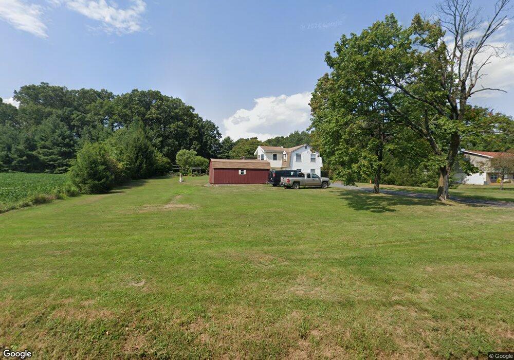
2050 Grant Rd Quakertown, PA 18951
Milford-Quakertown NeighborhoodEstimated Value: $250,000 - $370,000
2
Beds
1
Bath
1,212
Sq Ft
$260/Sq Ft
Est. Value
About This Home
This home is located at 2050 Grant Rd, Quakertown, PA 18951 and is currently estimated at $314,707, approximately $259 per square foot. 2050 Grant Rd is a home located in Bucks County with nearby schools including Pfaff Elementary School, Quakertown Community Senior High School, and Providence Hybrid Academy.
Ownership History
Date
Name
Owned For
Owner Type
Purchase Details
Closed on
Aug 30, 2002
Sold by
Piszczek William B and Piszczek Debborah L
Bought by
Vanim Daniel J and Vanim Rebecca K
Current Estimated Value
Home Financials for this Owner
Home Financials are based on the most recent Mortgage that was taken out on this home.
Original Mortgage
$180,000
Outstanding Balance
$76,508
Interest Rate
6.48%
Mortgage Type
Seller Take Back
Estimated Equity
$238,199
Purchase Details
Closed on
May 17, 1978
Bought by
Piszczek William B and Piszczek Debborah L
Create a Home Valuation Report for This Property
The Home Valuation Report is an in-depth analysis detailing your home's value as well as a comparison with similar homes in the area
Home Values in the Area
Average Home Value in this Area
Purchase History
| Date | Buyer | Sale Price | Title Company |
|---|---|---|---|
| Vanim Daniel J | $90,000 | -- | |
| Piszczek William B | -- | -- |
Source: Public Records
Mortgage History
| Date | Status | Borrower | Loan Amount |
|---|---|---|---|
| Open | Vanim Daniel J | $180,000 |
Source: Public Records
Tax History Compared to Growth
Tax History
| Year | Tax Paid | Tax Assessment Tax Assessment Total Assessment is a certain percentage of the fair market value that is determined by local assessors to be the total taxable value of land and additions on the property. | Land | Improvement |
|---|---|---|---|---|
| 2025 | $2,944 | $14,600 | $3,520 | $11,080 |
| 2024 | $2,944 | $14,600 | $3,520 | $11,080 |
| 2023 | $2,915 | $14,600 | $3,520 | $11,080 |
| 2022 | $2,866 | $14,600 | $3,520 | $11,080 |
| 2021 | $2,866 | $14,600 | $3,520 | $11,080 |
| 2020 | $2,866 | $14,600 | $3,520 | $11,080 |
| 2019 | $2,786 | $14,600 | $3,520 | $11,080 |
| 2018 | $2,690 | $14,600 | $3,520 | $11,080 |
| 2017 | $2,606 | $14,600 | $3,520 | $11,080 |
| 2016 | $2,606 | $14,600 | $3,520 | $11,080 |
| 2015 | -- | $14,600 | $3,520 | $11,080 |
| 2014 | -- | $14,600 | $3,520 | $11,080 |
Source: Public Records
Map
Nearby Homes
- Lot 135-003 Trolley Bridge Rd
- 0 Trolley Bridge Rd
- 2565 Allentown Rd
- 2385 W Zion Hill Rd
- 7338 Grant Rd
- 1770 Joanne Dr
- 1710 Joanne Dr
- 3421 Old Bethlehem Pike
- 1525 Clay Ave
- 6551 Blue Church Rd S
- 1500 Gable Dr
- 0 Shelly Rd
- 7302 Leh St
- 1321 Sheridan Rd
- 2453 Hieter Rd
- 7555 Clayton Ave
- 2349 Edna Ave
- 7522 Clayton Ave
- 126 Ashford Dr