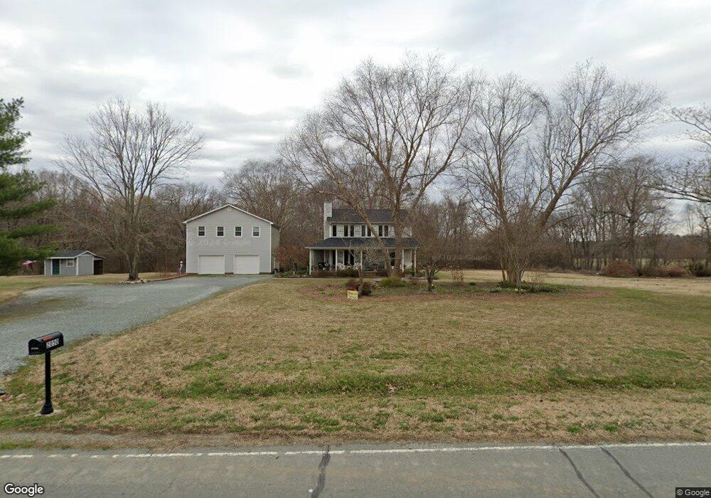
2050 Keesee Rd Mc Leansville, NC 27301
Estimated Value: $260,000 - $311,000
3
Beds
3
Baths
1,511
Sq Ft
$189/Sq Ft
Est. Value
About This Home
This home is located at 2050 Keesee Rd, Mc Leansville, NC 27301 and is currently estimated at $286,208, approximately $189 per square foot. 2050 Keesee Rd is a home located in Guilford County with nearby schools including Alamance Elementary School, Southeast Guilford Middle School, and Southeast Guilford High School.
Ownership History
Date
Name
Owned For
Owner Type
Purchase Details
Closed on
Oct 30, 2003
Sold by
Spurlin Peggy Wright and Spurlin Richard W
Bought by
Spurlin Richard W and Spurlin Peggy Jean Wright
Current Estimated Value
Home Financials for this Owner
Home Financials are based on the most recent Mortgage that was taken out on this home.
Original Mortgage
$75,000
Interest Rate
6.03%
Mortgage Type
New Conventional
Create a Home Valuation Report for This Property
The Home Valuation Report is an in-depth analysis detailing your home's value as well as a comparison with similar homes in the area
Home Values in the Area
Average Home Value in this Area
Purchase History
| Date | Buyer | Sale Price | Title Company |
|---|---|---|---|
| Spurlin Richard W | -- | -- |
Source: Public Records
Mortgage History
| Date | Status | Borrower | Loan Amount |
|---|---|---|---|
| Closed | Spurlin Richard W | $75,000 |
Source: Public Records
Tax History Compared to Growth
Tax History
| Year | Tax Paid | Tax Assessment Tax Assessment Total Assessment is a certain percentage of the fair market value that is determined by local assessors to be the total taxable value of land and additions on the property. | Land | Improvement |
|---|---|---|---|---|
| 2025 | $1,496 | $168,800 | $42,400 | $126,400 |
| 2024 | $1,496 | $168,800 | $42,400 | $126,400 |
| 2023 | $1,496 | $168,800 | $42,400 | $126,400 |
| 2022 | $1,496 | $168,800 | $42,400 | $126,400 |
| 2021 | $1,336 | $150,800 | $33,300 | $117,500 |
| 2020 | $1,283 | $150,800 | $33,300 | $117,500 |
| 2019 | $1,279 | $150,800 | $0 | $0 |
| 2018 | $1,273 | $150,800 | $0 | $0 |
| 2017 | $1,252 | $150,800 | $0 | $0 |
| 2016 | $1,253 | $146,600 | $0 | $0 |
| 2015 | $1,260 | $146,600 | $0 | $0 |
| 2014 | $1,275 | $146,600 | $0 | $0 |
Source: Public Records
Map
Nearby Homes
- 4600 Mcconnell Rd
- Meadowlark Plan at McConnell Ridge
- Sparrow Plan at McConnell Ridge
- 3425 Pilot Mill Dr
- 2403 Idol Mill Dr
- 4555 Dillon Mill Dr
- 4416 Mcconnell Rd
- 3435 Pilot Mill Dr
- 5829 Thacker Dairy Rd
- 4539 Dillon Mill Dr
- 1519 Bowmore Place
- 5001 Robert Andrew Rd
- 5438 Wild Turkey Rd
- 4562 Dillon Mill Dr
- 2416 Idol Mill Dr
- 1504 Guinness Dr
- 1400 Covered Wagon Rd
- 2410 Idol Mill Dr
- 1729 Youngs Mill Rd
- 3421 Pilot Mill Dr
- 2046 Keesee Rd
- 2039 Keesee Rd
- 2043 Keesee Rd
- 2060 Keesee Rd
- 5308 Prudencia Dr
- 5300 Kilt Ct
- 2057 Keesee Rd
- 2067 Keesee Rd
- 5299 Kilt Ct
- 2025 Keesee Rd
- 5297 Kilt Ct
- 2069 Keesee Rd
- 5309 Prudencia Dr
- 5214 Prudencia Dr
- 2075 Keesee Rd
- 2624 Overhill Loop
- 2622 Overhill Loop
- 2081 Keesee Rd
- 2620 Overhill Loop
- 2618 Overhill Loop