Estimated Value: $2,497,000 - $3,618,000
4
Beds
4
Baths
3,465
Sq Ft
$906/Sq Ft
Est. Value
About This Home
This home is located at 2050 Meadow Brook Dr Unit A, Vail, CO 81657 and is currently estimated at $3,139,880, approximately $906 per square foot. 2050 Meadow Brook Dr Unit A is a home located in Eagle County with nearby schools including Red Sandstone Elementary School and Battle Mountain High School.
Ownership History
Date
Name
Owned For
Owner Type
Purchase Details
Closed on
Jul 2, 2017
Sold by
Mckean Randolph A and Mckean Judith L
Bought by
Mac Vail Llc
Current Estimated Value
Purchase Details
Closed on
Aug 17, 2005
Sold by
The David & Diane Livingston Family Part
Bought by
Mckean Randolph A and Mckean Judith L
Purchase Details
Closed on
Aug 16, 2000
Sold by
Livingston David A and Livingston Diane L
Bought by
David & Diane Livingston Family Prtnrshp
Purchase Details
Closed on
May 30, 1997
Sold by
Nasr Mohammad
Bought by
Kimmel Neal L and Kimmel Kathy R
Home Financials for this Owner
Home Financials are based on the most recent Mortgage that was taken out on this home.
Original Mortgage
$495,000
Interest Rate
8.1%
Purchase Details
Closed on
Oct 13, 1994
Create a Home Valuation Report for This Property
The Home Valuation Report is an in-depth analysis detailing your home's value as well as a comparison with similar homes in the area
Home Values in the Area
Average Home Value in this Area
Purchase History
| Date | Buyer | Sale Price | Title Company |
|---|---|---|---|
| Mac Vail Llc | -- | None Available | |
| Mckean Randolph A | $1,375,000 | Stewart Title Of Vail Inc | |
| David & Diane Livingston Family Prtnrshp | -- | -- | |
| Kimmel Neal L | -- | First American Heritage Titl | |
| -- | $570,000 | -- |
Source: Public Records
Mortgage History
| Date | Status | Borrower | Loan Amount |
|---|---|---|---|
| Previous Owner | Kimmel Neal L | $495,000 |
Source: Public Records
Tax History Compared to Growth
Tax History
| Year | Tax Paid | Tax Assessment Tax Assessment Total Assessment is a certain percentage of the fair market value that is determined by local assessors to be the total taxable value of land and additions on the property. | Land | Improvement |
|---|---|---|---|---|
| 2024 | $6,873 | $153,470 | $50,280 | $103,190 |
| 2023 | $6,873 | $153,470 | $50,280 | $103,190 |
| 2022 | $5,024 | $101,810 | $29,910 | $71,900 |
| 2021 | $5,181 | $104,740 | $30,770 | $73,970 |
| 2020 | $5,073 | $103,920 | $27,470 | $76,450 |
| 2019 | $5,089 | $103,920 | $27,470 | $76,450 |
| 2018 | $3,966 | $79,350 | $26,560 | $52,790 |
| 2017 | $3,948 | $79,350 | $26,560 | $52,790 |
| 2016 | $4,468 | $90,860 | $30,580 | $60,280 |
| 2015 | -- | $90,860 | $30,580 | $60,280 |
| 2014 | $2,867 | $63,660 | $22,780 | $40,880 |
Source: Public Records
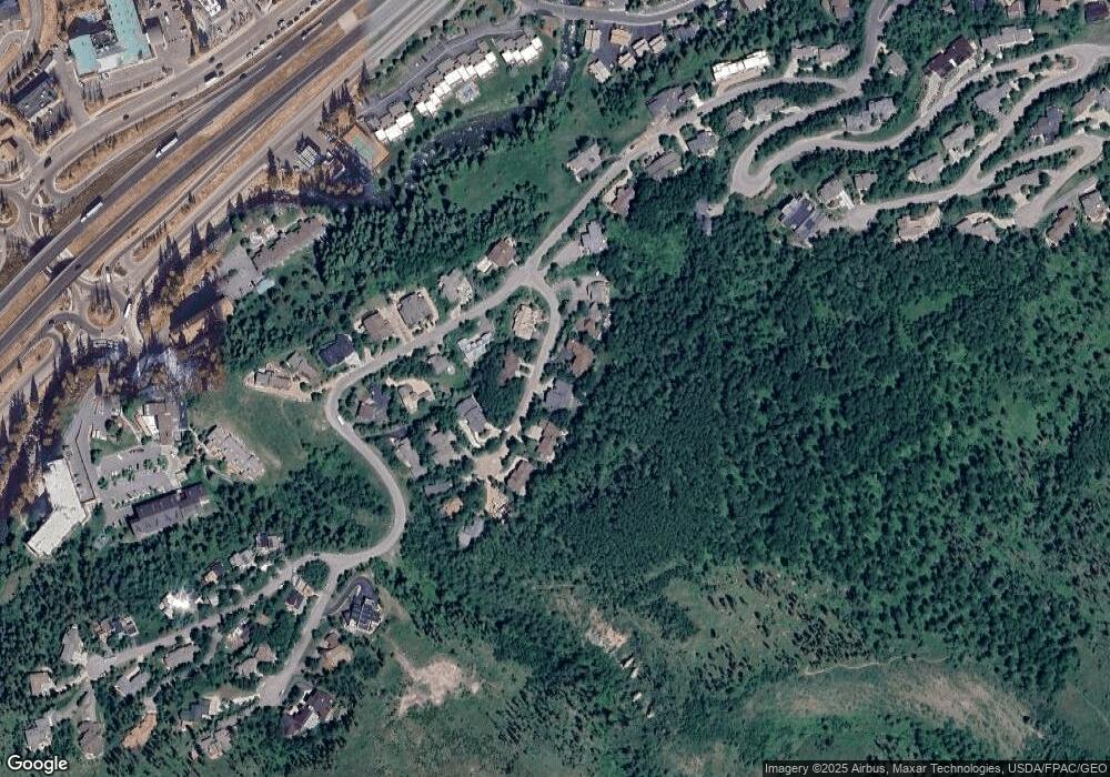
Map
Nearby Homes
- 2036 Vermont Rd
- 2111 Vermont Rd Unit A
- 2010 Vermont Rd
- 2254 S Frontage Rd W Unit 106/week 51
- 2219 Vermont Ct
- 2284 S Frontage Rd W
- 1750 S Frontage Rd W Unit E3
- 1759 Sierra Trail
- 2349 Chamonix Ln
- 2456 Chamonix Ln Unit 3
- 2448 Garmisch Dr Unit 7
- 2059 Chamonix Ln Unit 9
- 2469 Chamonix Ln Unit 1
- 2099 Chamonix Ln Unit 1A
- 2487 Chamonix Ln Unit 1
- 2518 Arosa Dr
- 1880 Meadow Ridge Rd Unit 7
- 1613 Matterhorn Cir
- 2627 Arosa Dr
- 1890 Lions Ridge Loop Unit 11
- 2050 Meadow Brook Dr Unit B
- 2050 Meadow Brook Dr
- 2040 Meadow Brook Dr
- 2042 Meadow Brook Dr
- 2060 Meadow Brook Dr
- 2030 Meadow Brook Dr Unit B
- 2030 Meadow Brook Dr Unit A
- 2030 Meadow Brook Dr
- 2062 Meadow Brook Dr
- 2037 Meadow Brook Dr
- 2035 Meadow Brook Dr
- 2020 Meadow Brook Dr
- 2017 Meadow Brook Dr
- 2057 Meadow Brook Dr
- 2070 Meadow Brook Dr
- 2056 Vermont Rd
- 2077 Meadow Brook Dr
- 2010 Meadow Brook Dr
- 2034 Vermont Rd
- 1947 Vermont Rd