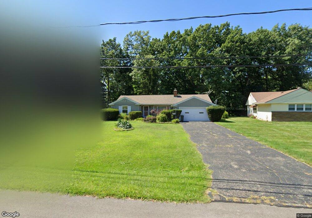
2050 Miami Rd Euclid, OH 44117
Estimated Value: $148,469 - $173,000
3
Beds
2
Baths
1,274
Sq Ft
$128/Sq Ft
Est. Value
About This Home
This home is located at 2050 Miami Rd, Euclid, OH 44117 and is currently estimated at $163,117, approximately $128 per square foot. 2050 Miami Rd is a home located in Cuyahoga County with nearby schools including Bluestone Elementary School, Euclid Middle School, and Euclid High School.
Ownership History
Date
Name
Owned For
Owner Type
Purchase Details
Closed on
Jun 12, 2000
Sold by
Farkas Ruth M and Farkas Susan F
Bought by
Hancock Earlene Williams
Current Estimated Value
Home Financials for this Owner
Home Financials are based on the most recent Mortgage that was taken out on this home.
Original Mortgage
$88,000
Interest Rate
7.83%
Mortgage Type
Balloon
Purchase Details
Closed on
Jun 25, 1993
Sold by
Farkas Susan Ellen
Bought by
Farkas Ruth M
Purchase Details
Closed on
Feb 16, 1988
Sold by
Dahl Harold A and M B
Bought by
Farkas Susan Ellen
Purchase Details
Closed on
Jan 1, 1975
Bought by
Dahl Harold A and M B
Create a Home Valuation Report for This Property
The Home Valuation Report is an in-depth analysis detailing your home's value as well as a comparison with similar homes in the area
Home Values in the Area
Average Home Value in this Area
Purchase History
| Date | Buyer | Sale Price | Title Company |
|---|---|---|---|
| Hancock Earlene Williams | $110,000 | Title Xperts Agency Inc | |
| Farkas Ruth M | $78,000 | -- | |
| Farkas Susan Ellen | $74,500 | -- | |
| Dahl Harold A | -- | -- |
Source: Public Records
Mortgage History
| Date | Status | Borrower | Loan Amount |
|---|---|---|---|
| Closed | Hancock Earlene Williams | $88,000 | |
| Closed | Hancock Earlene Williams | $22,000 |
Source: Public Records
Tax History
| Year | Tax Paid | Tax Assessment Tax Assessment Total Assessment is a certain percentage of the fair market value that is determined by local assessors to be the total taxable value of land and additions on the property. | Land | Improvement |
|---|---|---|---|---|
| 2025 | $2,584 | $49,455 | $12,110 | $37,345 |
| 2024 | $2,842 | $49,455 | $12,110 | $37,345 |
| 2023 | $2,568 | $38,510 | $9,490 | $29,020 |
| 2022 | $2,544 | $38,500 | $9,490 | $29,020 |
| 2021 | $2,822 | $38,500 | $9,490 | $29,020 |
| 2020 | $2,166 | $29,160 | $7,180 | $21,980 |
| 2019 | $1,946 | $83,300 | $20,500 | $62,800 |
| 2018 | $1,822 | $29,160 | $7,180 | $21,980 |
| 2017 | $1,821 | $24,440 | $5,710 | $18,730 |
| 2016 | $1,825 | $24,440 | $5,710 | $18,730 |
| 2015 | $1,665 | $24,440 | $5,710 | $18,730 |
| 2014 | $1,665 | $24,440 | $5,710 | $18,730 |
Source: Public Records
Map
Nearby Homes
- 2017 Natona Rd
- 18079 Blandford Rd
- 18062 Blandford Rd
- 19201 Shawnee Rd
- 2460 Belvoir Blvd
- 19871 Upper Valley Dr
- 19151 Genesee Rd
- 19201 Genesee Rd
- 1872 Torbenson Dr
- 1849 Torbenson Dr
- 1769 Burgess Rd
- 11 Trenton Square Unit T27
- 1566 E 195th St
- 3936 Lancaster Rd
- 18120 Olympia Rd
- 4002 Lancaster Rd
- 3802 Fairoaks Rd
- 1721 Grand Blvd
- 20021 Green Oak Dr
- 1682 Cliffview Rd
Your Personal Tour Guide
Ask me questions while you tour the home.