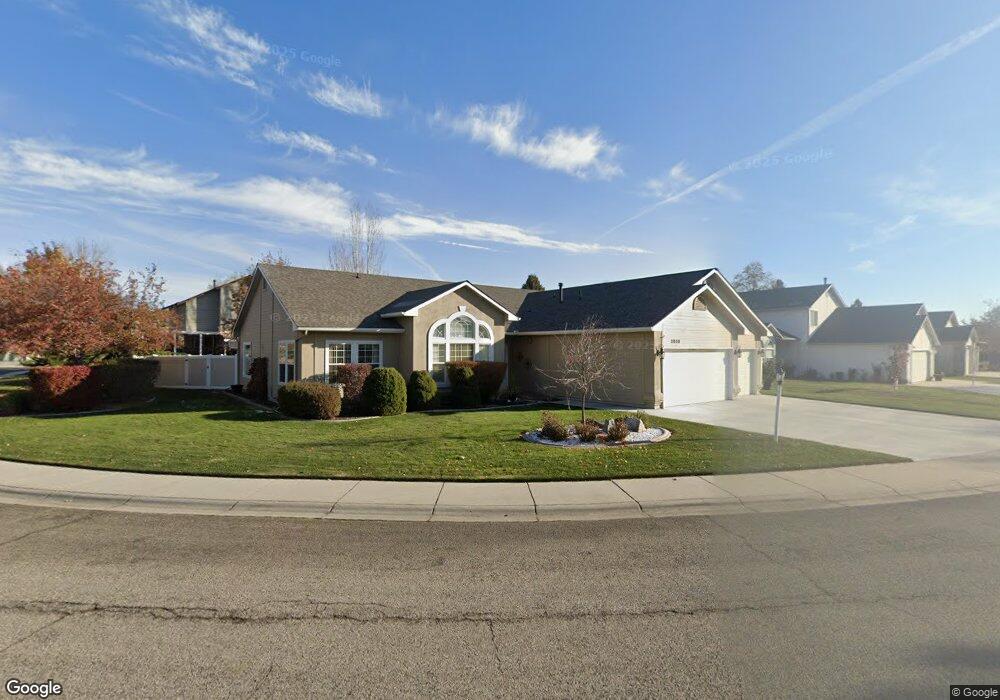
2050 N Silversage Ave Boise, ID 83713
West Boise NeighborhoodEstimated Value: $485,942 - $546,000
3
Beds
2
Baths
1,838
Sq Ft
$274/Sq Ft
Est. Value
About This Home
This home is located at 2050 N Silversage Ave, Boise, ID 83713 and is currently estimated at $504,486, approximately $274 per square foot. 2050 N Silversage Ave is a home located in Ada County with nearby schools including Ustick Elementary School, Lewis & Clark Middle School, and Centennial High School.
Ownership History
Date
Name
Owned For
Owner Type
Purchase Details
Closed on
Aug 23, 2000
Sold by
Davies Robert O and Davies Cynthia A
Bought by
Cook James William and Cook Mary Margaret
Current Estimated Value
Home Financials for this Owner
Home Financials are based on the most recent Mortgage that was taken out on this home.
Original Mortgage
$152,000
Outstanding Balance
$52,776
Interest Rate
7.62%
Mortgage Type
Purchase Money Mortgage
Estimated Equity
$451,710
Purchase Details
Closed on
May 1, 2000
Sold by
Davies Robert O
Bought by
Davies Robert O and Davies Cynthia A
Home Financials for this Owner
Home Financials are based on the most recent Mortgage that was taken out on this home.
Original Mortgage
$66,300
Interest Rate
7.85%
Mortgage Type
Purchase Money Mortgage
Purchase Details
Closed on
Feb 18, 1998
Sold by
Davies Sylvia M
Bought by
Davies Robert O
Create a Home Valuation Report for This Property
The Home Valuation Report is an in-depth analysis detailing your home's value as well as a comparison with similar homes in the area
Home Values in the Area
Average Home Value in this Area
Purchase History
| Date | Buyer | Sale Price | Title Company |
|---|---|---|---|
| Cook James William | -- | Pioneer Title Company | |
| Davies Robert O | -- | Transnation Title & Escrow I | |
| Davies Robert O | -- | -- |
Source: Public Records
Mortgage History
| Date | Status | Borrower | Loan Amount |
|---|---|---|---|
| Open | Cook James William | $152,000 | |
| Previous Owner | Davies Robert O | $66,300 |
Source: Public Records
Tax History
| Year | Tax Paid | Tax Assessment Tax Assessment Total Assessment is a certain percentage of the fair market value that is determined by local assessors to be the total taxable value of land and additions on the property. | Land | Improvement |
|---|---|---|---|---|
| 2025 | $2,086 | $440,600 | -- | -- |
| 2024 | $1,892 | $440,500 | -- | -- |
| 2023 | $1,892 | $396,800 | $0 | $0 |
| 2022 | $2,511 | $497,000 | $0 | $0 |
| 2021 | $2,409 | $399,800 | $0 | $0 |
| 2020 | $2,116 | $312,300 | $0 | $0 |
| 2019 | $2,559 | $299,800 | $0 | $0 |
| 2018 | $2,142 | $250,800 | $0 | $0 |
| 2017 | $1,852 | $222,600 | $0 | $0 |
| 2016 | $1,543 | $194,500 | $0 | $0 |
| 2015 | $775 | $196,700 | $0 | $0 |
| 2012 | -- | $139,100 | $0 | $0 |
Source: Public Records
Map
Nearby Homes
- 2145 N Shamrock Ave
- 11244 W Knightsbridge Ct
- 1732 N Shamrock Ave
- 1722 N Timathy Ln Unit 32/1
- 1931 N Delmar St
- 1627 N Impreza Ln Unit Lot 27/1
- 2281 N Shaelyn Ln
- 1609 N Impreza Ln Unit Lot 24/1
- 1605 N Impreza
- 1603 N Impreza Ln Unit Lot 23/1
- 11073 W Garverdale Ln Unit 103
- 2503 N Morrow Ave
- 1110 & 1120 N Dawn Place
- 11972 W Stillwater Dr
- 11130 W Abram Dr
- 1322 N Wildwood Way
- 10703 Palm Dr
- 11895 W Abram St
- 11227 W Montana St
- 10659 Palm Dr
- 2006 N Silversage Ave
- 2055 N Mumbarto Ave
- 2033 N Mumbarto Ave
- 2061 N Silversage Ave
- 2039 N Silversage Ave
- 11316 W Charitan St
- 11334 W Charitan St
- 1984 N Silversage Ave
- 2017 N Silversage Ave
- 1999 N Mumbarto Ave
- 1995 N Silversage Ave
- 2054 N Mumbarto Ave
- 2032 N Mumbarto Ave
- 2076 N Mumbarto Ave
- 11315 W Bluecanyon St
- 2010 N Mumbarto Ave
- 11333 W Bluecanyon St
- 2121 N Mumbarto Ave
- 1973 N Silversage Ave
- 2098 N Mumbarto Ave
Your Personal Tour Guide
Ask me questions while you tour the home.