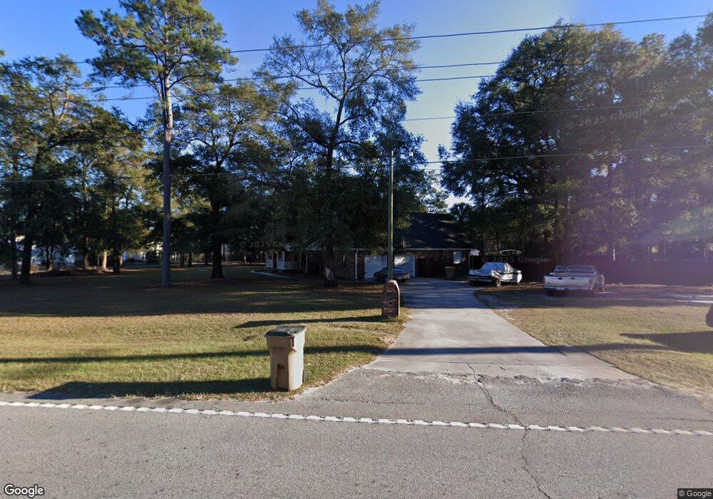
2050 Noel C Conaway Rd Guyton, GA 31312
Estimated Value: $392,000 - $474,000
--
Bed
1
Bath
2,646
Sq Ft
$166/Sq Ft
Est. Value
About This Home
This home is located at 2050 Noel C Conaway Rd, Guyton, GA 31312 and is currently estimated at $439,080, approximately $165 per square foot. 2050 Noel C Conaway Rd is a home located in Effingham County with nearby schools including Marlow Elementary School, South Effingham Middle School, and South Effingham High School.
Ownership History
Date
Name
Owned For
Owner Type
Purchase Details
Closed on
Jun 1, 2021
Sold by
Fisher Rebecca L
Bought by
Fisher Rebecca L and Fisher William Scott
Current Estimated Value
Purchase Details
Closed on
Nov 15, 2012
Sold by
Fisher Albert F
Bought by
Fisher Rebecca L
Home Financials for this Owner
Home Financials are based on the most recent Mortgage that was taken out on this home.
Original Mortgage
$274,725
Interest Rate
2.87%
Mortgage Type
FHA
Purchase Details
Closed on
Nov 2, 2001
Bought by
Fisher Donna M
Create a Home Valuation Report for This Property
The Home Valuation Report is an in-depth analysis detailing your home's value as well as a comparison with similar homes in the area
Home Values in the Area
Average Home Value in this Area
Purchase History
| Date | Buyer | Sale Price | Title Company |
|---|---|---|---|
| Fisher Rebecca L | -- | -- | |
| Fisher Rebecca L | $290,000 | -- | |
| Fisher Donna M | $186,000 | -- |
Source: Public Records
Mortgage History
| Date | Status | Borrower | Loan Amount |
|---|---|---|---|
| Previous Owner | Fisher Rebecca L | $274,725 |
Source: Public Records
Tax History Compared to Growth
Tax History
| Year | Tax Paid | Tax Assessment Tax Assessment Total Assessment is a certain percentage of the fair market value that is determined by local assessors to be the total taxable value of land and additions on the property. | Land | Improvement |
|---|---|---|---|---|
| 2024 | $4,330 | $145,288 | $23,360 | $121,928 |
| 2023 | $3,138 | $136,059 | $23,360 | $112,699 |
| 2022 | $3,683 | $127,569 | $14,870 | $112,699 |
| 2021 | $3,786 | $119,135 | $12,710 | $106,425 |
| 2020 | $3,571 | $112,723 | $12,460 | $100,263 |
| 2019 | $3,634 | $114,108 | $13,845 | $100,263 |
| 2018 | $3,532 | $108,849 | $15,482 | $93,367 |
| 2017 | $3,568 | $108,849 | $15,482 | $93,367 |
| 2016 | $3,366 | $107,405 | $15,482 | $91,923 |
| 2015 | -- | $107,405 | $15,482 | $91,923 |
| 2014 | -- | $105,200 | $15,482 | $89,718 |
| 2013 | -- | $105,200 | $15,482 | $89,718 |
Source: Public Records
Map
Nearby Homes
- 104 Sams Dr
- 102 Sam's Dr
- 119 Sams Dr
- 138 Sams Dr
- 1257 Noel C Conaway Rd
- 106 Buckingham Dr
- The Stafford Plan at Buckingham Plantation
- The Wysteria Plan at Buckingham Plantation
- The Jasper Plan at Buckingham Plantation
- The Clare Plan at Buckingham Plantation
- The Ashton Plan at Buckingham Plantation
- The Oxford Plan at Buckingham Plantation
- The Benson Plan at Buckingham Plantation
- 102 Little Ben Ct
- 104 Little Ben Ct
- 100 Little Ben Ct
- 679 Majestic Dr
- 673 Majestic Dr
- 120 Annie Dr
- 328 Windsor Rd