2050 Perrine Rd Rives Junction, MI 49277
Estimated Value: $266,000 - $271,000
--
Bed
--
Bath
1,404
Sq Ft
$192/Sq Ft
Est. Value
About This Home
This home is located at 2050 Perrine Rd, Rives Junction, MI 49277 and is currently estimated at $269,050, approximately $191 per square foot. 2050 Perrine Rd is a home located in Jackson County with nearby schools including Woodworth Elementary School, Leslie Middle School, and Leslie High School.
Ownership History
Date
Name
Owned For
Owner Type
Purchase Details
Closed on
Mar 7, 2017
Sold by
Lloyd Robert A and Lloyd Tammy L
Bought by
Mongar Joseph
Current Estimated Value
Home Financials for this Owner
Home Financials are based on the most recent Mortgage that was taken out on this home.
Original Mortgage
$79,000
Outstanding Balance
$65,656
Interest Rate
4.25%
Mortgage Type
FHA
Estimated Equity
$203,394
Purchase Details
Closed on
Oct 12, 2016
Sold by
Lloyd Robert A and Lloyd Tammy L
Bought by
Federal Home Loan Mortgage Corporation and Fannie Mae
Purchase Details
Closed on
Jun 22, 2005
Sold by
Barnum Charles S and Barnum Dianne I
Bought by
Lloyd Robert A and Lloyd Tammy L
Create a Home Valuation Report for This Property
The Home Valuation Report is an in-depth analysis detailing your home's value as well as a comparison with similar homes in the area
Home Values in the Area
Average Home Value in this Area
Purchase History
| Date | Buyer | Sale Price | Title Company |
|---|---|---|---|
| Mongar Joseph | $82,000 | Midstate Title Agency Southe | |
| Federal Home Loan Mortgage Corporation | $67,341 | Attorney | |
| Lloyd Robert A | $18,000 | -- |
Source: Public Records
Mortgage History
| Date | Status | Borrower | Loan Amount |
|---|---|---|---|
| Open | Mongar Joseph | $79,000 |
Source: Public Records
Tax History Compared to Growth
Tax History
| Year | Tax Paid | Tax Assessment Tax Assessment Total Assessment is a certain percentage of the fair market value that is determined by local assessors to be the total taxable value of land and additions on the property. | Land | Improvement |
|---|---|---|---|---|
| 2025 | $2,335 | $121,300 | $0 | $121,300 |
| 2024 | $1,043 | $109,700 | $0 | $109,700 |
| 2023 | $994 | $103,100 | $0 | $103,100 |
| 2022 | $2,137 | $93,600 | $0 | $93,600 |
| 2021 | $2,157 | $80,400 | $7,000 | $73,400 |
| 2020 | $2,114 | $76,100 | $0 | $0 |
| 2019 | $2,032 | $68,500 | $0 | $0 |
| 2018 | $1,986 | $63,000 | $0 | $0 |
| 2017 | $1,656 | $59,300 | $0 | $0 |
| 2016 | $658 | $53,800 | $53,800 | $0 |
| 2015 | $1,528 | $53,000 | $53,000 | $0 |
| 2014 | $1,528 | $53,400 | $0 | $0 |
| 2013 | -- | $53,400 | $53,400 | $0 |
Source: Public Records
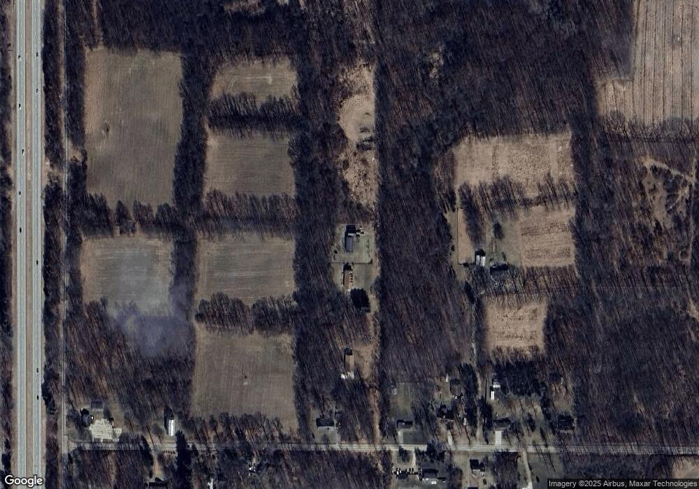
Map
Nearby Homes
- 8645 Lansing Ave
- 43 Bryde Dr
- 11975 Churchill Rd
- 2799 W Territorial Rd
- 12650 State Rd
- VL B Dutch
- VL C Dutch
- VL A Dutch
- VL D E Territorial Rd
- VL F E Territorial Rd
- 11808 Dutch Rd
- 213 Palmer St
- 9050 Zion Rd
- 8888 Churchill Rd
- 7381 Lansing Ave
- VL Broughwell Rd
- 3532 E Territorial Rd
- 5115 Rives Eaton Rd
- 2601 Olds Rd
- 8489 Rives Junction Rd
- 2050 Perrine Rd
- 2100 Perrine Rd
- 2055 Perrine Rd
- 1930 Perrine Rd
- 2219 Perrine Rd
- 2104 Perrine Rd
- 2130 Perrine Rd
- 1947 Perrine Rd
- 1947 Perrine Rd
- 1920 Perrine Rd
- 1940 Perrine Rd
- 2112 Perrine Rd
- 2116 Perrine Rd
- 2323 Perrine Rd
- 2327 Perrine Rd
- 2414 Perrine Rd
- 10991 State Rd
- 10853 State Rd
- 2496 Perrine Rd
- 10801 State Rd