2050 Pheasant Run Jamison, PA 18929
Estimated Value: $521,000 - $577,000
3
Beds
3
Baths
1,496
Sq Ft
$365/Sq Ft
Est. Value
About This Home
This home is located at 2050 Pheasant Run, Jamison, PA 18929 and is currently estimated at $545,993, approximately $364 per square foot. 2050 Pheasant Run is a home located in Bucks County with nearby schools including Jamison Elementary School, Tamanend Middle School, and Central Bucks High School - South.
Ownership History
Date
Name
Owned For
Owner Type
Purchase Details
Closed on
May 17, 2003
Sold by
Staruch Elizabeth
Bought by
Korger Kenneth D and Korger Cynthia
Current Estimated Value
Home Financials for this Owner
Home Financials are based on the most recent Mortgage that was taken out on this home.
Original Mortgage
$222,750
Outstanding Balance
$97,093
Interest Rate
5.83%
Mortgage Type
Purchase Money Mortgage
Estimated Equity
$448,900
Purchase Details
Closed on
Dec 30, 1988
Bought by
Staruch Zbigniew and Staruch Elizabeth
Create a Home Valuation Report for This Property
The Home Valuation Report is an in-depth analysis detailing your home's value as well as a comparison with similar homes in the area
Home Values in the Area
Average Home Value in this Area
Purchase History
| Date | Buyer | Sale Price | Title Company |
|---|---|---|---|
| Korger Kenneth D | $247,500 | Lawyers Title Insurance Corp | |
| Staruch Zbigniew | $152,000 | -- |
Source: Public Records
Mortgage History
| Date | Status | Borrower | Loan Amount |
|---|---|---|---|
| Open | Korger Kenneth D | $222,750 |
Source: Public Records
Tax History
| Year | Tax Paid | Tax Assessment Tax Assessment Total Assessment is a certain percentage of the fair market value that is determined by local assessors to be the total taxable value of land and additions on the property. | Land | Improvement |
|---|---|---|---|---|
| 2025 | $5,610 | $32,230 | $8,770 | $23,460 |
| 2024 | $5,610 | $32,230 | $8,770 | $23,460 |
| 2023 | $5,432 | $32,230 | $8,770 | $23,460 |
| 2022 | $5,371 | $32,230 | $8,770 | $23,460 |
| 2021 | $5,312 | $32,230 | $8,770 | $23,460 |
| 2020 | $5,312 | $32,230 | $8,770 | $23,460 |
| 2019 | $5,279 | $32,230 | $8,770 | $23,460 |
| 2018 | $5,279 | $32,230 | $8,770 | $23,460 |
| 2017 | $5,239 | $32,230 | $8,770 | $23,460 |
| 2016 | $5,239 | $32,230 | $8,770 | $23,460 |
| 2015 | -- | $32,230 | $8,770 | $23,460 |
| 2014 | -- | $32,230 | $8,770 | $23,460 |
Source: Public Records
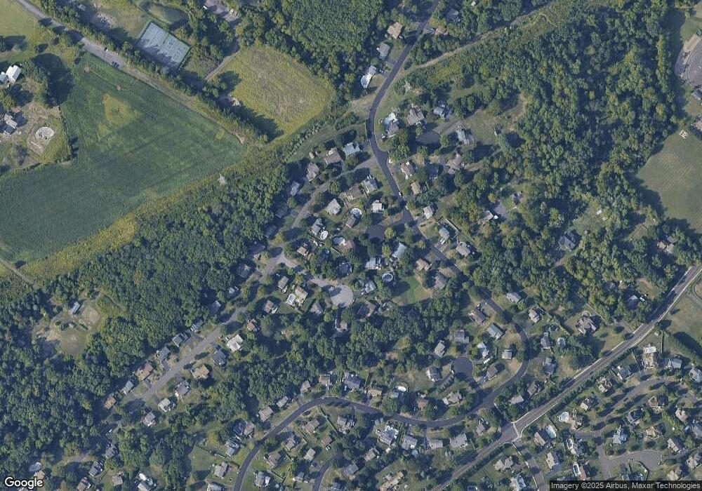
Map
Nearby Homes
- 1997 Brook Ln
- 1997 Sunrise Way
- 1868 Sunrise Way
- 2210 Club House Cir
- 1621 Yorktown Rd Unit 50
- 2010 Canterbury Ln
- 1646 Rockcress Dr
- 1644 Rockcress Dr
- 2128 Robin Dr
- 1990 York Rd
- Homesite 10102 Marquis Ln
- 1004 Marquis Ln
- 1001 Marquis Ln Unit WESTMONT MODEL
- 1003 Marquis Ln Unit NORTHBROOK MODEL
- 5005 Quartermaster Ln
- 5011 Quartermaster Ln
- 2016 Marquis Ln
- 4008 Marquis Ln
- 2091 Meetinghouse Rd
- 1821 Fox Run Terrace
- 2052 Pheasant Run
- 1962 Heather Cir
- 2048 Pheasant Run
- 1960 Heather Cir
- 1964 Heather Cir
- 1981 Brook Ln
- 2046 Pheasant Run
- 2054 Pheasant Run
- 1971 Brook Ln
- 2011 Brook Ln
- 1961 Heather Cir
- 1963 Heather Cir
- 2021 Brook Ln
- 1967 Heather Cir
- 1957 Brook Ln
- 1982 Brook Ln
- 1972 Brook Ln
- 1992 Brook Ln
- 1965 Heather Cir
- 2030 Sunrise Way
Your Personal Tour Guide
Ask me questions while you tour the home.