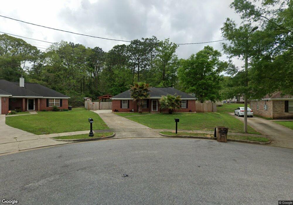
2050 Sandalwood Dr Mobile, AL 36618
Beau Terra NeighborhoodEstimated Value: $137,000 - $177,000
3
Beds
2
Baths
1,200
Sq Ft
$127/Sq Ft
Est. Value
About This Home
This home is located at 2050 Sandalwood Dr, Mobile, AL 36618 and is currently estimated at $151,826, approximately $126 per square foot. 2050 Sandalwood Dr is a home located in Mobile County with nearby schools including Forest Hill Elementary School, CL Scarborough Middle School, and Mattie T Blount High School.
Ownership History
Date
Name
Owned For
Owner Type
Purchase Details
Closed on
Jun 28, 2016
Sold by
Debose Terrence J and Debose Marie Antwannette
Bought by
Debose Delton R
Current Estimated Value
Home Financials for this Owner
Home Financials are based on the most recent Mortgage that was taken out on this home.
Original Mortgage
$90,000
Outstanding Balance
$40,815
Interest Rate
3.58%
Mortgage Type
Commercial
Estimated Equity
$111,011
Purchase Details
Closed on
Jan 26, 2005
Sold by
Benchmark Homes Inc
Bought by
Debose Terrence J and Debose Leslie K
Home Financials for this Owner
Home Financials are based on the most recent Mortgage that was taken out on this home.
Original Mortgage
$91,908
Interest Rate
5.62%
Mortgage Type
FHA
Create a Home Valuation Report for This Property
The Home Valuation Report is an in-depth analysis detailing your home's value as well as a comparison with similar homes in the area
Home Values in the Area
Average Home Value in this Area
Purchase History
| Date | Buyer | Sale Price | Title Company |
|---|---|---|---|
| Debose Delton R | $73,892 | None Available | |
| Debose Terrence J | $93,408 | Ati |
Source: Public Records
Mortgage History
| Date | Status | Borrower | Loan Amount |
|---|---|---|---|
| Open | Debose Delton R | $90,000 | |
| Previous Owner | Debose Terrence J | $91,908 |
Source: Public Records
Tax History Compared to Growth
Tax History
| Year | Tax Paid | Tax Assessment Tax Assessment Total Assessment is a certain percentage of the fair market value that is determined by local assessors to be the total taxable value of land and additions on the property. | Land | Improvement |
|---|---|---|---|---|
| 2024 | $1,399 | $21,940 | $4,000 | $17,940 |
| 2023 | $1,403 | $20,060 | $4,000 | $16,060 |
| 2022 | $1,106 | $17,420 | $4,000 | $13,420 |
| 2021 | $1,118 | $17,600 | $4,000 | $13,600 |
| 2020 | $1,139 | $17,940 | $4,000 | $13,940 |
| 2019 | $1,154 | $18,180 | $4,000 | $14,180 |
| 2018 | $1,166 | $18,360 | $0 | $0 |
| 2017 | $1,198 | $18,860 | $0 | $0 |
| 2016 | $532 | $9,440 | $0 | $0 |
| 2013 | $562 | $9,800 | $0 | $0 |
Source: Public Records
Map
Nearby Homes
- 4900 Leruth Rd
- 2021 Sandalwood Dr
- 1667 Woodley Rd
- 1804 N University Blvd
- 1804 N University Blvd Unit 4
- 1801 Larkwood Dr
- 1620 Crestwood Dr
- 1510 Northview Dr
- 1701 Crestwood Dr
- 1557 Phillips Ln
- 1617 Phillips Ln
- 4636 Saint Charles Ct
- 1620 Phillips Ln
- 1312 Forest Cove Dr
- 1257 Belle Wood Dr W
- 1553 Phillips Ln
- 4924 Janice Dr
- 1270 Peabody Dr
- 5323 Colonial Oaks Dr N
- 1404 Stevens Ln
- 2054 Sandalwood Dr
- 1704 Sandcastle Ct
- 2046 Sandalwood Dr
- 1708 Sandcastle Ct
- 1700 Sandcastle Ct
- 2042 Sandalwood Dr
- 2053 Sandalwood Dr
- 1712 Sandcastle Ct
- 2038 Sandalwood Dr
- 2049 Sandalwood Dr
- 2045 Sandalwood Dr
- 4808 Leruth Rd
- 1716 Sandcastle Ct
- 4816 Leruth Rd
- 1701 Sandcastle Ct
- 2041 Sandalwood Dr
- 4804 Leruth Rd
- 2034 Sandalwood Dr
- 4820 Leruth Rd
- 2037 Sandalwood Dr