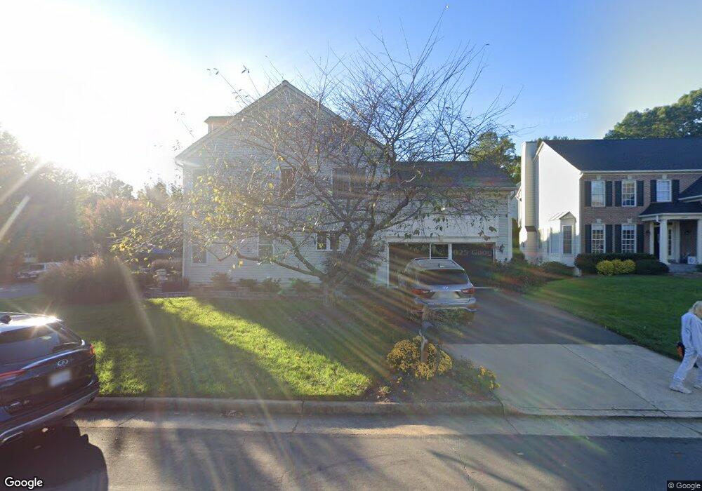
20501 Mcgees Ferry Way Sterling, VA 20165
Estimated Value: $939,021 - $1,027,000
4
Beds
4
Baths
2,676
Sq Ft
$369/Sq Ft
Est. Value
About This Home
This home is located at 20501 Mcgees Ferry Way, Sterling, VA 20165 and is currently estimated at $987,255, approximately $368 per square foot. 20501 Mcgees Ferry Way is a home located in Loudoun County with nearby schools including Lowes Island Elementary School, Seneca Ridge Middle School, and Dominion High School.
Ownership History
Date
Name
Owned For
Owner Type
Purchase Details
Closed on
Jul 2, 1996
Sold by
M I Schottenstein Homes Inc
Bought by
Lee Roy S
Current Estimated Value
Home Financials for this Owner
Home Financials are based on the most recent Mortgage that was taken out on this home.
Original Mortgage
$200,836
Outstanding Balance
$14,275
Interest Rate
8.05%
Estimated Equity
$972,980
Create a Home Valuation Report for This Property
The Home Valuation Report is an in-depth analysis detailing your home's value as well as a comparison with similar homes in the area
Home Values in the Area
Average Home Value in this Area
Purchase History
| Date | Buyer | Sale Price | Title Company |
|---|---|---|---|
| Lee Roy S | $251,045 | -- |
Source: Public Records
Mortgage History
| Date | Status | Borrower | Loan Amount |
|---|---|---|---|
| Open | Lee Roy S | $200,836 |
Source: Public Records
Tax History Compared to Growth
Tax History
| Year | Tax Paid | Tax Assessment Tax Assessment Total Assessment is a certain percentage of the fair market value that is determined by local assessors to be the total taxable value of land and additions on the property. | Land | Improvement |
|---|---|---|---|---|
| 2025 | $7,303 | $907,250 | $254,100 | $653,150 |
| 2024 | $7,212 | $833,740 | $249,100 | $584,640 |
| 2023 | $6,496 | $742,390 | $244,100 | $498,290 |
| 2022 | $6,579 | $739,240 | $239,100 | $500,140 |
| 2021 | $6,532 | $666,500 | $217,300 | $449,200 |
| 2020 | $6,032 | $582,840 | $207,300 | $375,540 |
| 2019 | $5,979 | $572,140 | $207,300 | $364,840 |
| 2018 | $6,057 | $558,240 | $207,300 | $350,940 |
| 2017 | $6,326 | $562,300 | $207,300 | $355,000 |
| 2016 | $6,477 | $565,650 | $0 | $0 |
| 2015 | $6,342 | $351,500 | $0 | $351,500 |
| 2014 | $6,410 | $347,650 | $0 | $347,650 |
Source: Public Records
Map
Nearby Homes
- 20548 Tidewater Ct
- 47788 Saulty Dr
- 47639 Paulsen Square
- 20655 Sound Terrace
- 47436 Middle Bluff Place
- 47565 Royal Burnham Terrace
- 47804 Allegheny Cir
- 20281 Center Brook Square
- 20377 Cottswold Terrace Unit 73
- 47825 Scotsborough Square Unit 123
- 47825 Scotsborough Square
- 20366 Fallsway Terrace
- 20361 Water Valley Ct
- 47630 Sandbank Square
- 20765 Bank Way
- 11372 Jackrabbit Ct
- 47587 Comer Square
- 47692 Sandbank Square
- 47616 Watkins Island Square
- 20804 Noble Terrace Unit 208
- 47614 Rhyolite Place
- 20497 Mcgees Ferry Way
- 20493 Mcgees Ferry Way
- 47610 Rhyolite Place
- 20500 Mcgees Ferry Way
- 47619 Rhyolite Place
- 20496 Mcgees Ferry Way
- 20485 Mcgees Ferry Way
- 47615 Rhyolite Place
- 20488 Mcgees Ferry Way
- 47627 Rhyolite Place
- 20489 Mcgees Ferry Way
- 47630 Rhyolite Place
- 47611 Rhyolite Place
- 20484 Mcgees Ferry Way
- 20513 Brandy Station Ct
- 20481 Mcgees Ferry Way
- 47673 Leechecker Ct
- 20512 Brandy Station Ct
- 47631 Rhyolite Place